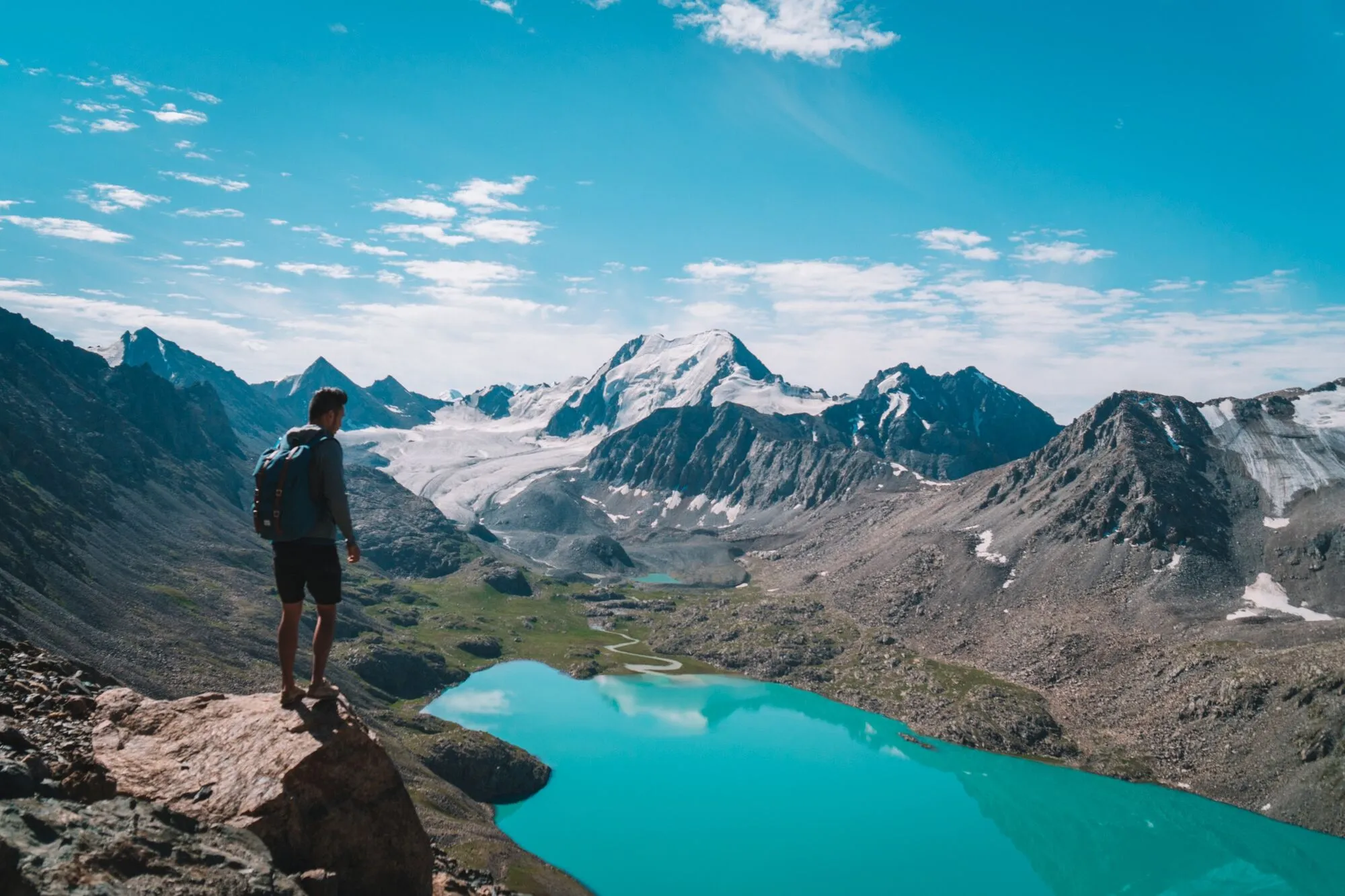


For those of you who have limited time in Kyrgyzstan but want to have the best experience you can get in this country, I have a suggestion for you. The Ala Kul trek was by far the highlight of my trip in Kyrgyzstan, and I would recommend anyone to do the trail if you are moderately in shape. The problem is that it requires at least 3 days to hike the entire trail, and this might turn some of you off a bit.
What if I told you that you can still do the Ala Kul trail within 2 days with only a daypack? It is possible if you are fit, travel light, and arrange your overnight accommodation before setting out.
When I originally did this trek, I was able to rent camping gear near the lake, but I would not rely on that setup today. The safer current option is to reserve a bed at one of the seasonal yurt camps around Sirota, where dinner and breakfast are usually available, and then tackle Ala Kul Lake, the pass, and the descent to Altyn Arashan on a long second day.

Ala Kul Trekking Map

Quick Summary
| 🌤️ Best time: | Late June-September, with July-August the most reliable |
| 🚘 Get around: | Hiking |
| 🕓 Time to spend: | 2D1N |
| 🚶♂️ Difficulty: | Challenging |
How to get to Karakol?
You can fly into Bishkek and continue overland to Karakol. Do not rely on my old instruction to simply go to Bishkek's West Bus Station, as intercity departure points have changed over the years. Current buses and marshrutkas to Karakol generally take around 5-7 hours, with fares typically around 500-750 SOM depending on the service. Bishkek has also introduced services from its newer municipal bus depot, so confirm the current Karakol departure point before heading across the city. For finding flights, I would recommend browsing through Skyscanner or Expedia and comparing prices for your dates.
The Trail
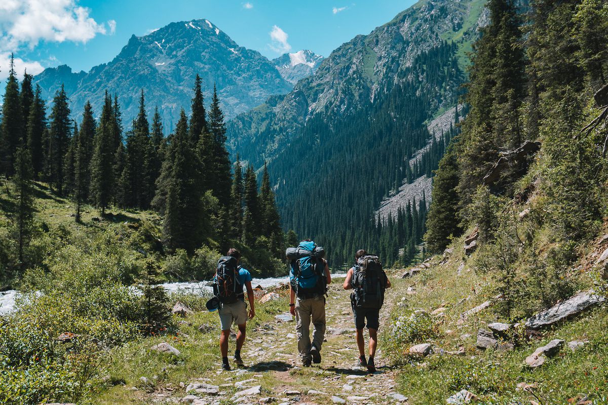
To get to the trail, you can arrange a taxi from Karakol toward Karakol National Park and ask to be dropped around the first bridge, which saves roughly an hour of walking along the access road. In 2026, expect the park entrance fee to be around 300 SOM per person. For this compressed 2-day itinerary, I would leave Karakol earlier than the 9 AM start I used on my trip, especially if you are now planning to overnight at Sirota rather than relying on accommodation farther up the trail.
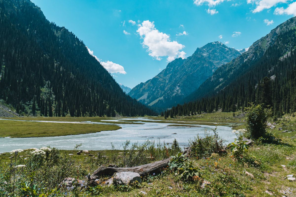
From the first bridge, continue walking along the walking/jeep trail by the river until you reach the opening where you will see the Karakol Valley for the first time.
- Duet Hostel (Budget)
- Madanur Hotel (Mid-Range) 👍 Top Pick
- Matsunoki (High-End)
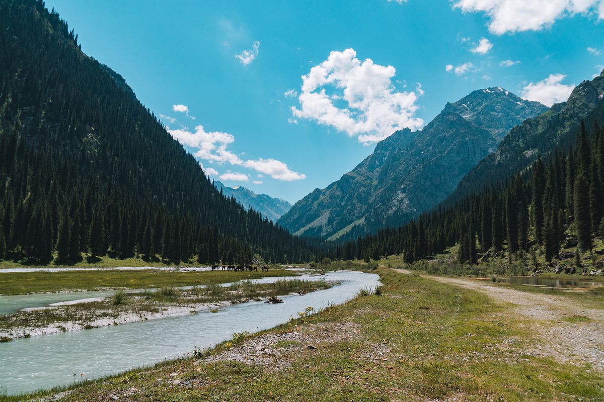
When I did the trek, this first section took me around 3 hours and I reached the junction near the small bridge at about noon. I continued by taking the sharp left toward the bridge and crossing the river. Use those times only as a reference for my pace rather than a schedule you need to match, as trail conditions and your starting point can change.
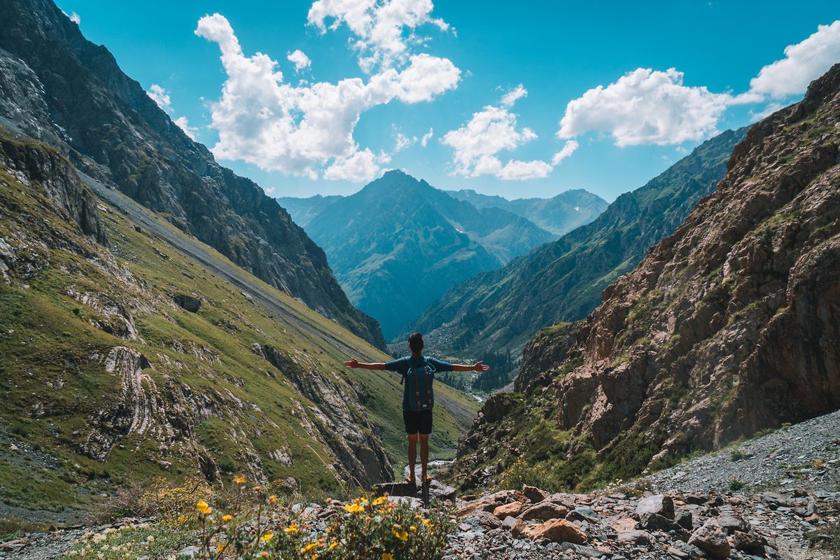
From here, the trail becomes trickier through the forest, with several intersections along the way. Download the route for offline use before leaving Karakol and check your position regularly. Maps.me still carries the trail, while Organic Maps is another useful offline option. Do not depend on having mobile reception along the route.
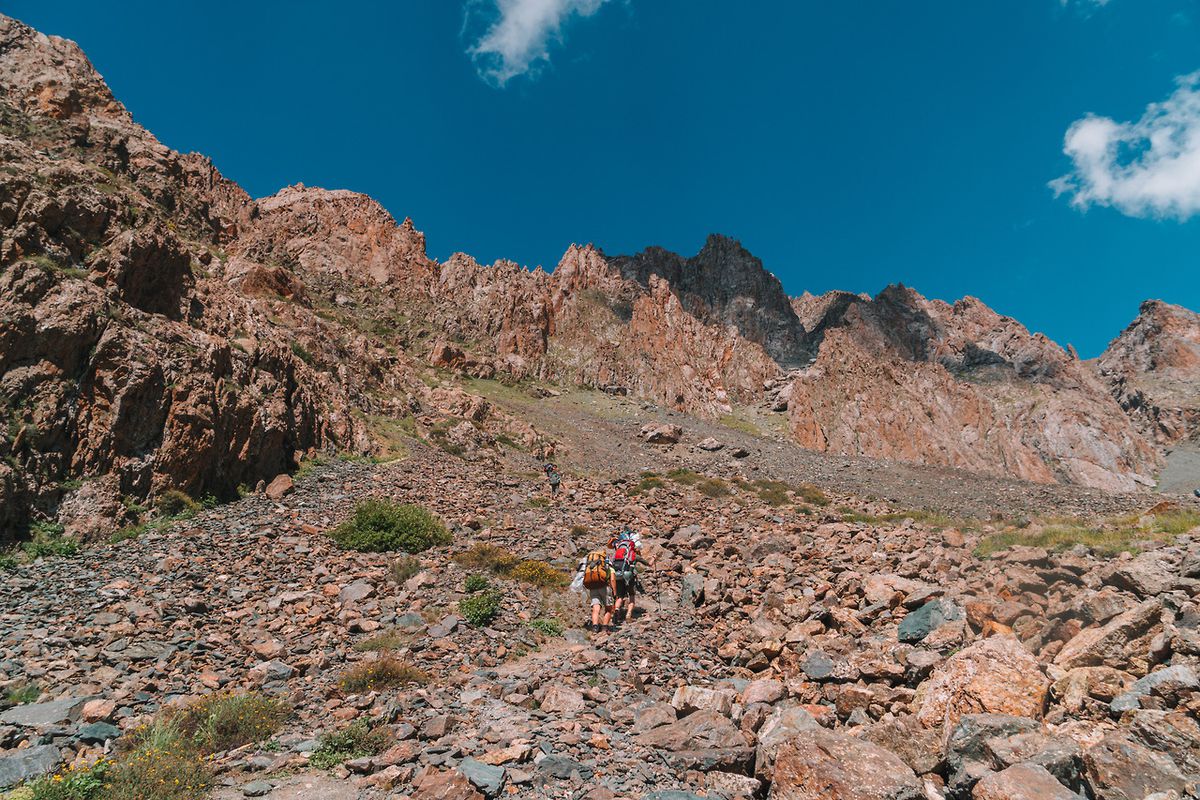
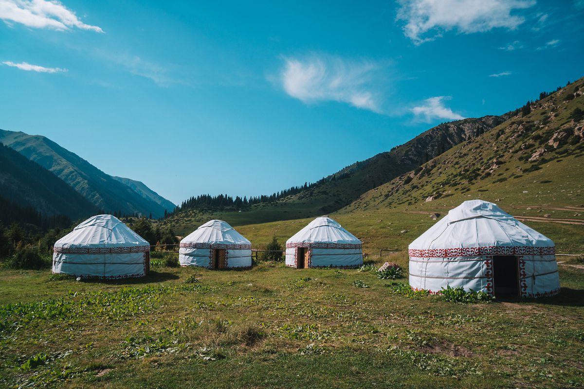
From here on out, the trail climbs steadily through forest and increasingly steep terrain toward Sirota Camp. For the updated daypack version of this itinerary, Sirota is where I would end Day 1 rather than continuing all the way to the lake. This gives you access to seasonal yurt accommodation and meals without carrying a tent, while putting you in a good position for the long climb to Ala Kul the following morning.

When I originally hiked Ala Kul, I continued all the way to the lake on Day 1 and found a campsite close to the shore. I would no longer build a daypack-only itinerary around finding rental equipment there. Current trekking information shows established seasonal yurt camps around Sirota, while accommodation directly beside Ala Kul is much less dependable and lakeside camping may require you to carry your own tent. If you specifically want to sleep beside the lake, bring or rent proper camping equipment in Karakol instead.
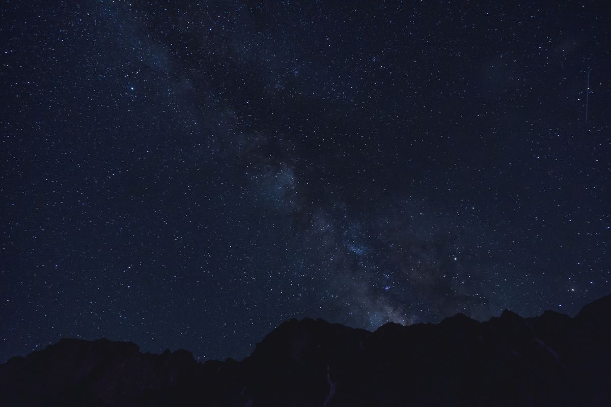
For the daypack strategy, arrange your Sirota accommodation before starting the trek rather than assuming a bed or tent will be available when you arrive. In 2026, a bed at a yurt camp along the Ala Kul route with meals generally costs around 2,500-4,500 SOM per person, depending on the camp and what is included. Recent travelers have paid around 4,500 SOM at Sirota with dinner and breakfast. Even in midsummer, bring warm layers because nights at this elevation can be very cold.
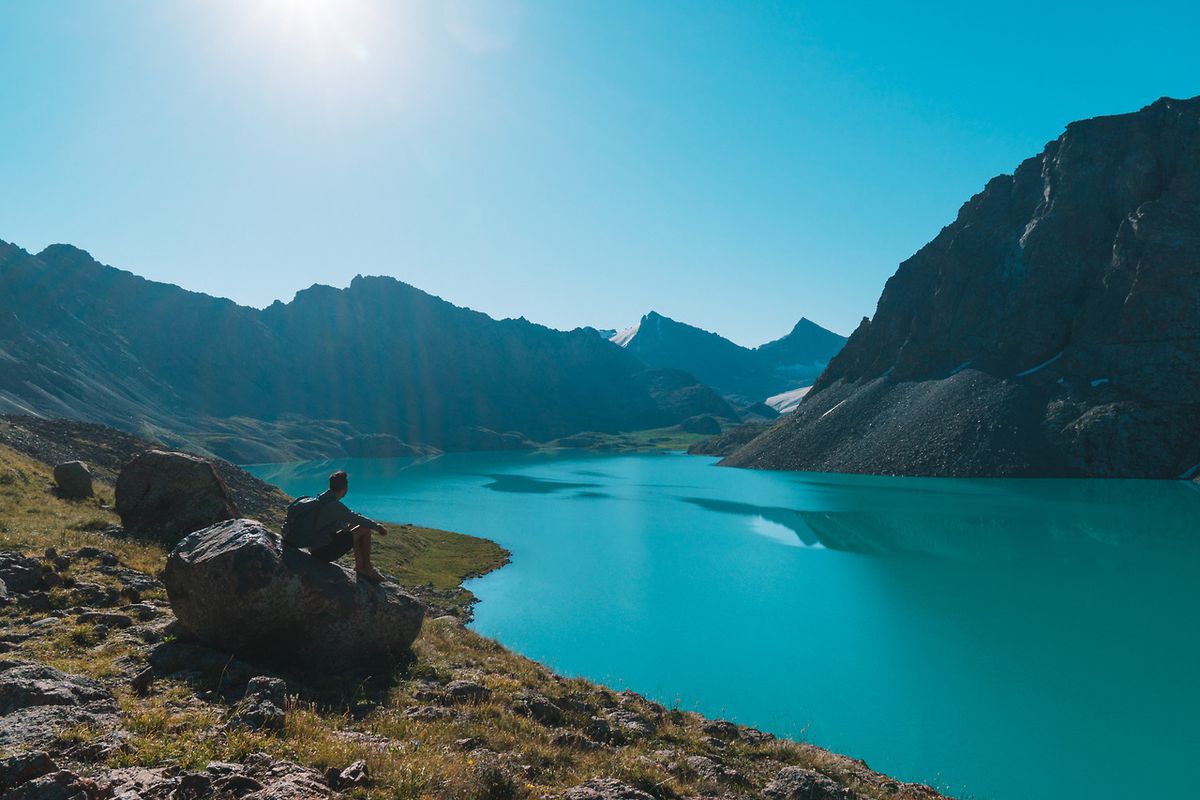
The following day, start early, ideally around 7-8 AM. From Sirota, climb first toward Ala Kul Lake and then continue around the lake toward Ala Kul Pass. This is the hardest day of the 2-day itinerary, as you still need to cross the pass and descend all the way to Altyn Arashan, so give yourself as much daylight as possible.
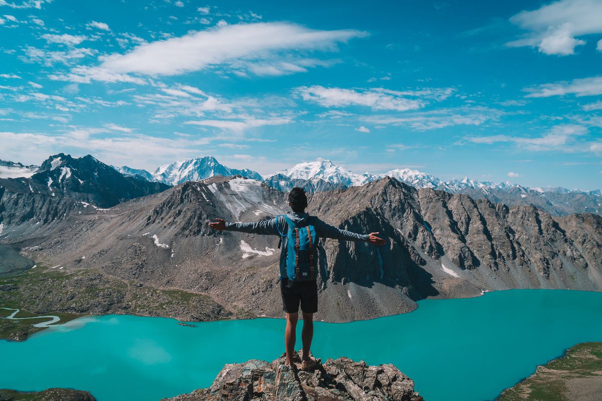
Ala Kul Pass is the highest point on this route at roughly 3,860-3,900 meters, depending on the map or measurement used. The climb is steep and exposed, but the view over Ala Kul is exactly why this trek is so memorable. It is easily one of the most spectacular mountain views I saw in Kyrgyzstan.
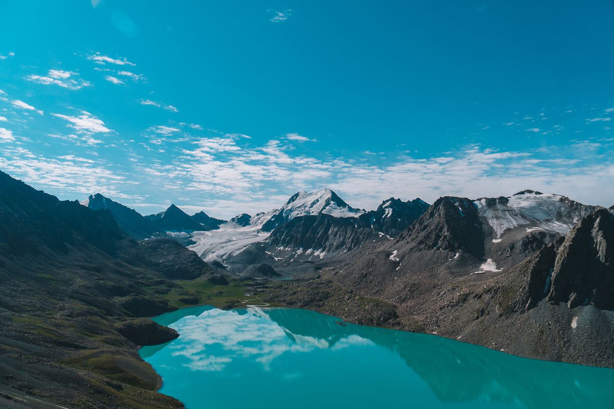
If you think going up was challenging, going down from this pass is 10 times more challenging. This is one of the steepest trails I have ever had the chance to descend. It was so steep that I had to literally crawl down with my hands out at the back and my butt as the foundation. I slid slowly down for 30 minutes as my feet buried in the half-gravel, half-rocky trail. It was a horrible experience.
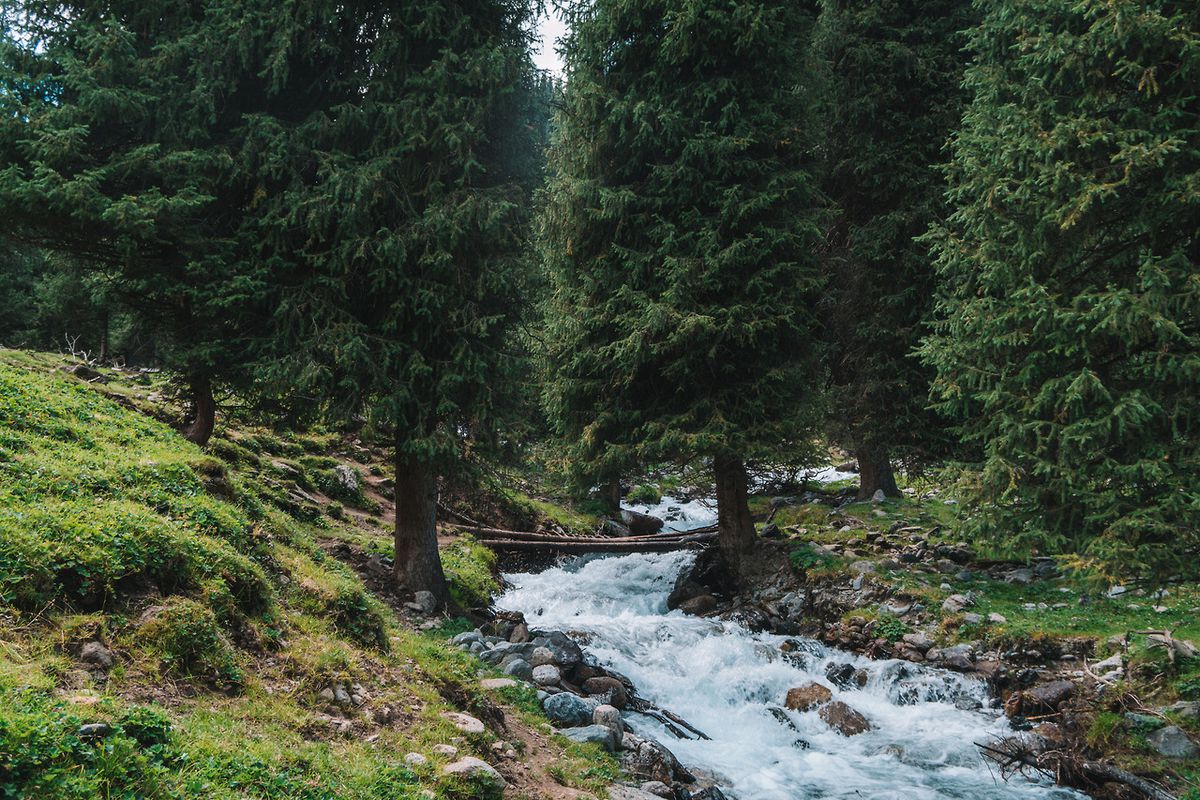
Once you get down the steepest part, you still have several hours of hiking before reaching Altyn Arashan. When I did the trek, one section required me to ford a river on foot. The exact crossing conditions can change with water levels, damaged bridges, and seasonal trail work, so ask about current conditions in Karakol before starting and never force a crossing if the water looks unsafe.
When you arrive in Altyn Arashan, you can spend another night and enjoy the hot springs, hike down toward Ak-Suu, or take a 4WD back toward Karakol. When I did the trek, there was a 5 PM jeep that cost 4,000 SOM for the vehicle, which we split between five people at 800 SOM each. Do not rely on that old price or departure time today.
In 2026, a locally arranged UAZ is commonly around 8,000 SOM for the whole vehicle one way, or roughly 1,500-3,000 SOM per person when you manage to share a vehicle. Prearranging your pickup in Karakol is the safest option for a tight 2-day itinerary, especially because the road can be affected by rain and high river crossings.
Kyrgyzstan Travel Video
Where to Stay in Karakol?
What to pack and things to prepare for Ala kul?
In order to pull this off safely and responsibly, there are some prerequisites you have to follow:
- IMPORTANT! Timing: The Ala Kul trekking season generally runs from late June to late September, depending on snow and weather, with July and August usually offering the most reliable conditions. For this daypack-only version, the more important limitation is whether the seasonal yurt camps are open and have space. Snow can remain on Ala Kul Pass into summer and return early in autumn, so confirm both trail and camp conditions in Karakol before attempting the 2-day route.
- Hiking Shoes with good grip: The trail along Ala Kul can be extremely rocky and barely clear enough to be a path at times so you will need good shoes for the hike. This Timberland Shoes is my go-to hiking boots in most situations.
- Snacks: Even though you don't need to carry food and stove, be sure to pack lunches and enough snacks for 2 days of hiking.
- Money: Bring enough cash for the park fee, accommodation, meals, and your transport out of Altyn Arashan. When I did the trek, the lakeside tent cost me 900 SOM for one person or 1,500 SOM for two, but I would not use those old prices for planning today. In 2026, budget roughly 2,500-4,500 SOM for a yurt bed with meals along the Ala Kul route, around 300 SOM for the Karakol National Park entrance, plus your share of the 4WD from Altyn Arashan.
- Maps: Download Maps.me or another reliable offline hiking map and save the entire region before you leave Karakol. The trail is mapped, but intersections through the forest can still be confusing and mobile coverage is unreliable, so check your position regularly rather than waiting until you think you are lost.
- Water: Carry at least 2 liters of water and have a reliable way to treat additional water from streams or camps along the route. Do not assume untreated mountain water is safe to drink. I always carry my 2 liters hydration pack, which makes it much easier to stay hydrated while hiking.
- Latest Information: Last but not least, ask for the latest trail conditions at your accommodation in Karakol. Duet Hostel is one place where you can ask about the trek and arrange local logistics. Conditions in these mountains change quickly; when I did it, one of the bridges was broken and added an extra hour of walking. For this updated daypack itinerary, confirm that a Sirota yurt camp is operating and reserve a bed before you leave.
- A Daypack: You will need a daypack to carry all your gear with you when you are out and about. During this trip, I use the classic Herschel Supply's Little America Backpack to carry everything with me. It is light with good capacity and stylish as hell.
Disclaimer: This post may contain affiliate links. See our disclosure policy.
First Published:
Last updated:


19 Comments
Hi! :)
Do you remember who much cost transport from Karakol to bridge?
And how much cost accomodation in Ala Kul ?:)
Hi Sandra, if I remember correctly, the taxi from Karakol to the bridge should be no more than 30 USD and the tent for rent should be somewhere around 30 USD per night as well with dinner.
Not the cheapest option but it sure is the easiest and fastest :)
Hi there,
Are there many locals that live in the area year-round? Just wondering if there are people located in the area to double check the directions your going, or if you have to solely rely on your own navigation of the area.
Also, if I brought my own tent and food, do you think this hike could easily be attempted in September? (Since you said tents and food are only provided in July/August).
Cheers!
Hey Arden,
Thank you for the comments.
To answer your question, there is no one living along the trail unless they set up camps to serve hikers but that is only during the 2 months summer period so you will have to rely on yourself to find the trail most of the time. You can use Maps Me to see if you are going in the right direction. The trail is pretty clear on the app. Otherwise, I'd recommend asking for a map from your hostel, or visit Duet Hostel as they often help travelers making the trek every day.
If you are unsure, it is also recommended to talk to the CBT (Community Based Tourism association) in Karakol before you embark on the journey and they can give you information of the current state of the trail.
September with your own gear might still be ok but it may rain and the temperature up at the lake may drop below 0 so prepare your gear accordingly. I've met several people who did it in September and they all enjoyed it.
Just to be sure, when you arrive in Karakol, ask around (CBT, duet hostel etc.) to see if your plan is plausible. They should be able to tell you how the trail is like now and what you will need to accomplish it. :)
Safe travels!
Incredible video, I must admit! It only made me even more determined to do this trek. After reading in your post that this trek can be done without dragging all the gear along with you I am really looking forward to it! I just wonder how to find these guys with tents and sleeping bags. Is it something I need to check in Karakol before leaving and making sure there would be someone up there? What are the chances the camping gets full before I arrive, is there a way to "book"? I am planning to do this hike at the very end of August (31 Aug - 1 Sep). And what is interesting that after reading several stories, I realised that some people do the trek the way and direction you did, while the other do the reverse (starting in Altyn Arashan). Is there a preferred one, in terms of how steep it is, or in terms of getting back to Karakol after the descend? Thanks, for all these answers :)
Amazing video!
Have 2 questions about the video above:
1. @1:46 I'm pretty sure that's the Konorcheck canyon right? Where is this narrow gorge exactly in the canyon? Never seen this part of the canyon on the internet and looks like an amazing spot to walk through :)
2. @2:38 is this giant lighted Kyrgyz flag in Bishkek? And can you see it al year long?
Regards and big up for the vid!
Floris
Hi Jimmy, thank you for the comments and for my late reply but yes, it is best to check if they are still operating. They only operate in the summer months and something might change in between so it is good to ask for some info either from the CBT office or the hostel I stayed at. No way to book it, unfortunately. There were a few tents left when I was there but this could change depending on the traffic the trail is getting. Asking the CBT or the people that work at the Duet hostel before you start the trail is your best bet.
Doing from the direction I did gives you more time to acclimatize the first day before you go up to 3800m the second day but the other way around, you will be going up to 3800m on your first day so it is not ideal IMO. In terms of going back, it is pretty much the same. :)
I hope this helps! Safe travels!
Hey Floris,
Thank you for the comments! Yes, I believe that is the Konorcheck gorge, unfortunately, I'm not sure where exactly it was. My friends went and hiked separately and with his drone, he captured that. And yes, that was the decoration of the Ala Too Square during autumn time. They set it up around August and took it down in late October if I remember correctly. They often have events on the Ala Too Square throughout the year so you might be lucky to see something even more epic next year. :)
Hi,
Judjing by the pictures I suppose you didn't do it alone. Do you think it would be possible to do it alone ?
Do you know if there are any tours I could join to do trekkings in this area ?
Thank you
Hi Joao,
Haha, I do get that a lot with my photos but I did do the entire trek solo and independently 😅 so yes, to answer your first question, it is possible. 😉
This guide is written exactly for those who wants to do it independently like I did without carrying camping gear.
For the tours there are many travel agencies in Karakol you can organize with, namely CBT (community based tourism organization).
I hope this helps!