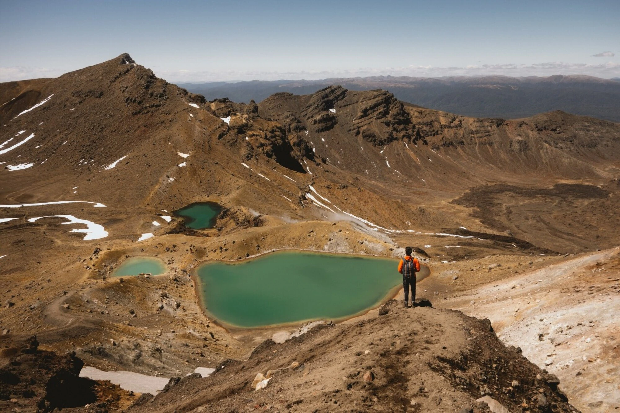



The Tongariro Crossing is one of the best hikes you can do in New Zealand. The trail will take you to some of the most diverse landscapes you will see on the North Island of New Zealand.
From the volcanic landscape around Mt. Ngauruhoe, better known to Lord of the Rings fans as Mt. Doom, to the beautifully glistening Emerald Lakes, the Tongariro Alpine Crossing packs an incredible amount of scenery into a challenging 19.4 km one-way hike that usually takes 7 - 8 hours.
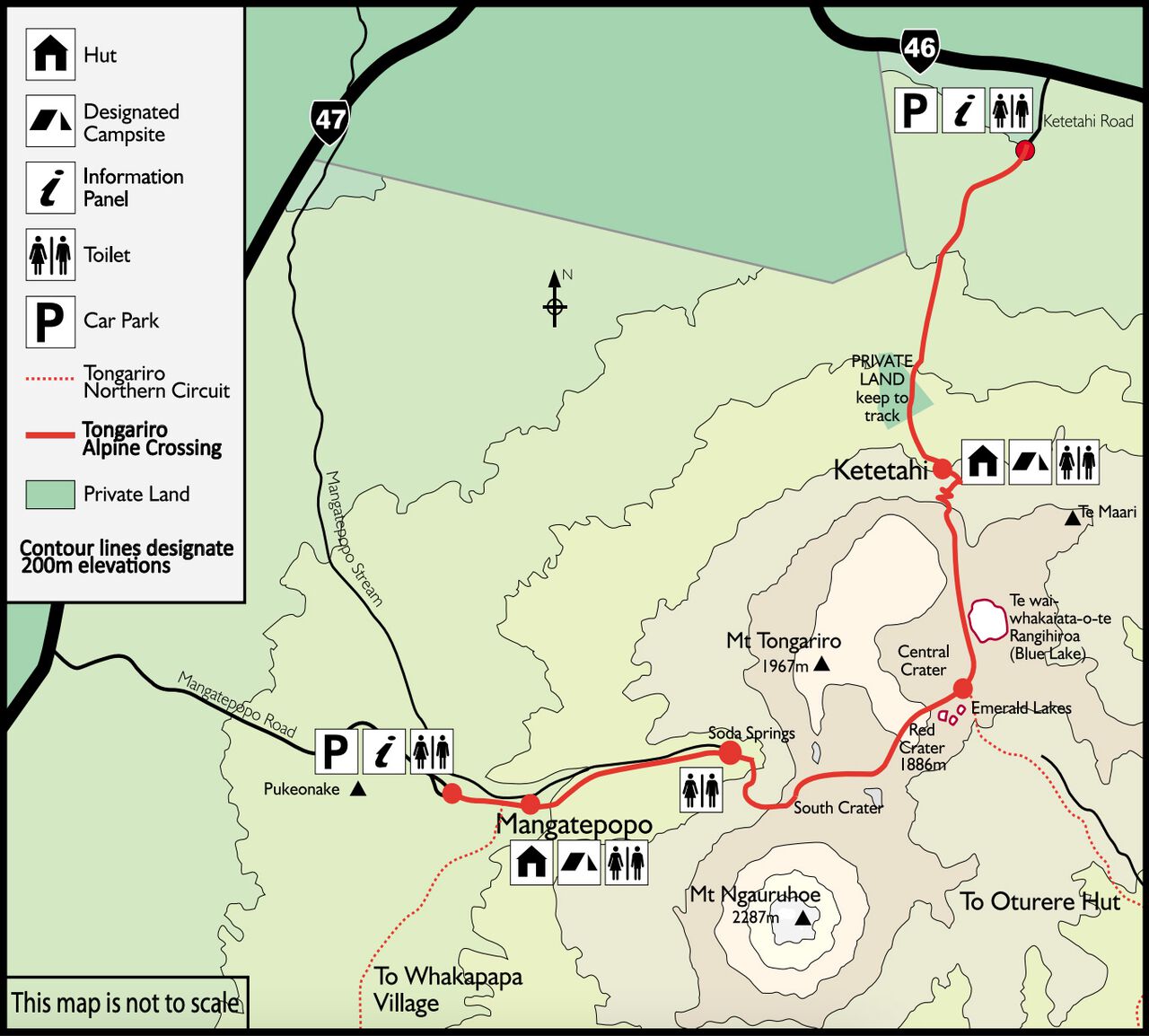
Within this hiking guide, you will find all the information you need to help guide and prepare yourself for the Tongariro Crossing. Without further ado, let's begin with a look at the Tongariro Crossing hiking map.

The Tongariro Alpine Crossing Hiking Map
Quick Summary
| 🌤️ Best time: | November to March |
| 🚘 Get around: | Hiking and bus |
| 🕓 Time to spend: | 7 - 8 hours |
| 🚶♂️ Difficulty: | Moderate |
| 💰 Cost: | 108 NZD |
What to Know Before you Hike the Tongariro Crossing?
- Level of Fitness: Since you will be hiking up and down steep mountains, a reasonable level of fitness is also required. It isn't as difficult and physically challenging as hikes like the Everest Base Camp, but it is still an 8-hour walk. If you are an active person, you should be able to do the hike just fine.
- Book the Crossing: DOC now recommends a free track booking for everyone using any part of the Tongariro Alpine Crossing. A booking is required if you use a shuttle or guided walk service. Book your date in advance, especially during the busy summer season.
- Stay on the Crossing: The summits and alpine lakes of Tongariro National Park are sacred to local iwi. Visitors are respectfully asked not to climb the summits and not to touch or enter the alpine lakes. Stay on the marked Tongariro Alpine Crossing route.
- Prepare for the Weather: The weather changes fast up there, so carry warm layers, waterproof jacket and pants, sturdy footwear, sun protection, food, and 2 - 3 litres of drinking water. Water along the track is not suitable for drinking. If conditions deteriorate, be prepared to turn back.
The Tongariro Crossing Hike Itinerary
Mangatepopo Parking Lot to Soda Springs to Mangatepopo Saddle
Difficulty: Easy
Hiking Duration: 1.5 hours
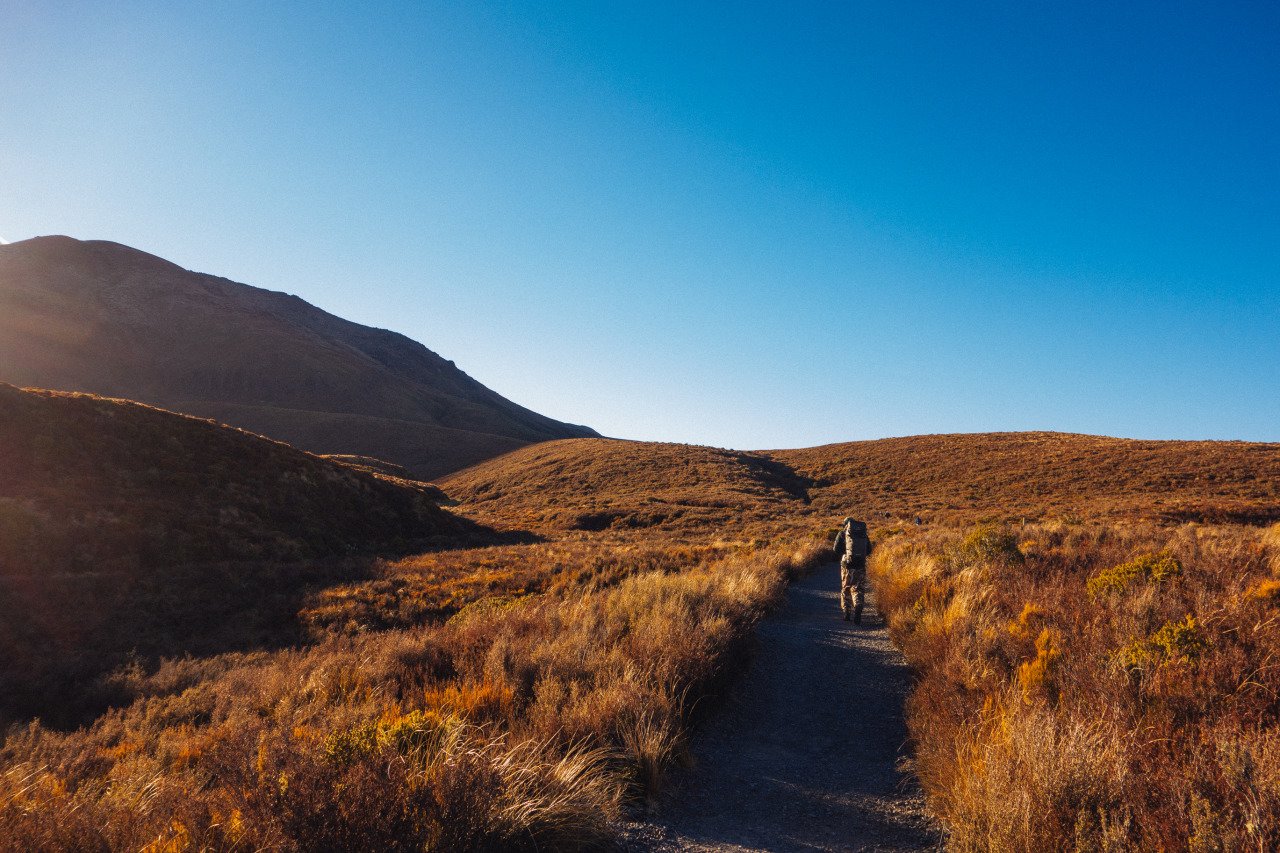
Your Tongariro Crossing hike begins at the Mangatepopo parking lot, where you will be dropped off by the shuttle bus at 8 AM. The trail starts off through beautiful grassland that will take you into the Mangatepopo Valley, where you will find the beautiful Soda Springs Broadwalk.
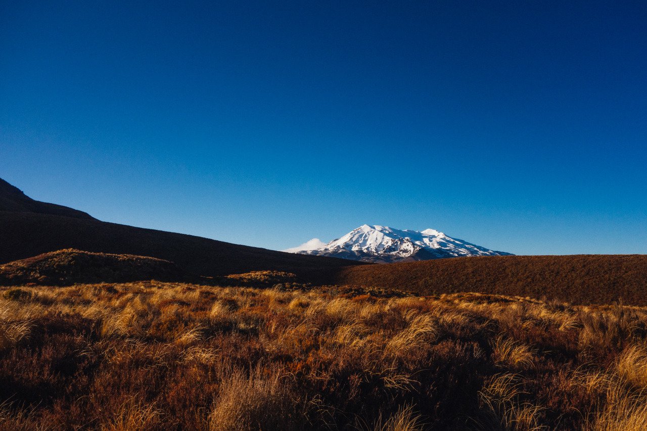
As the trail continues through the grassland, you will be able to see Mt Ruapehu, an active stratovolcano with three iconic peaks over 2,700m above sea level, on your right.
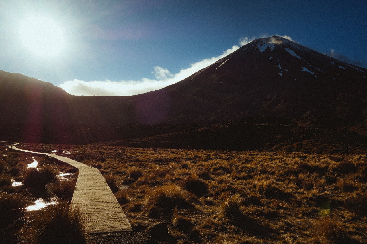
For about an hour, you will arrive at Soda Springs, a beautiful wetland in the middle of the Mangatepopo Valley where you will then have to walk along the wooden boardwalk while Mt. Ngauruhoe or Mt. Doom looms over you.
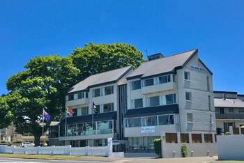
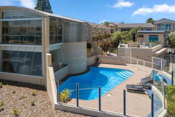
- Haka Lodge Taupo (Budget)
- Tui Oaks Motel (Mid-Range) 👍 Top Pick
- The Village Resort (High-End)
- Hukafalls Jet Boat Ride from Taupo (30 minutes)
- Daily Scenic Maori Rock Carving Cruise Taupo (1 hour 30 minutes)
- Maori Rock Carvings Scenic Cruise (1 hour 50 minutes to 2 hours)
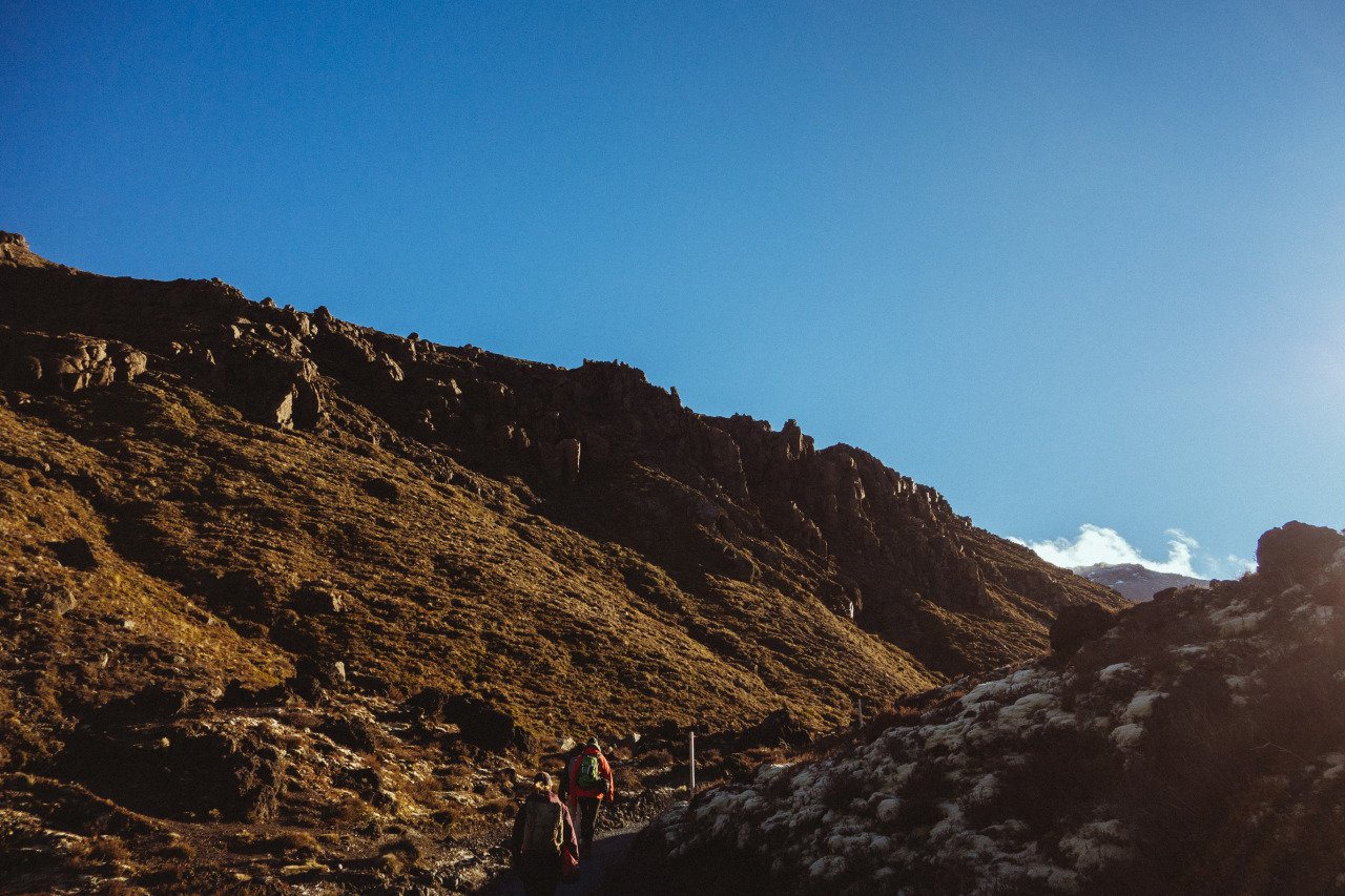
This section of the trail is pretty easy and straightforward, with a few small ups and downs, and you should be able to complete it in about 1 hour. I couldn't say the same for what comes after Soda Springs, though, as the trail shoots up steeply onto the Mangatepopo Saddle, where you will arrive at the foot of Mt. Ngauruhoe.
Mangatepopo Saddle to the top of Mt Ngauruhoe/Mt. Doom (Optional)
Difficulty: Extremely difficult
Hiking Duration: 2 hours
Important update: I climbed Mt Ngauruhoe when I originally did the Tongariro Crossing, and I have kept the photos and story below as a record of that experience. Today, however, this should not be treated as a recommended side trip. The mountains of Tongariro National Park are sacred to local iwi, who respectfully ask visitors not to climb the summits. DOC also asks visitors to stay on the marked tracks.
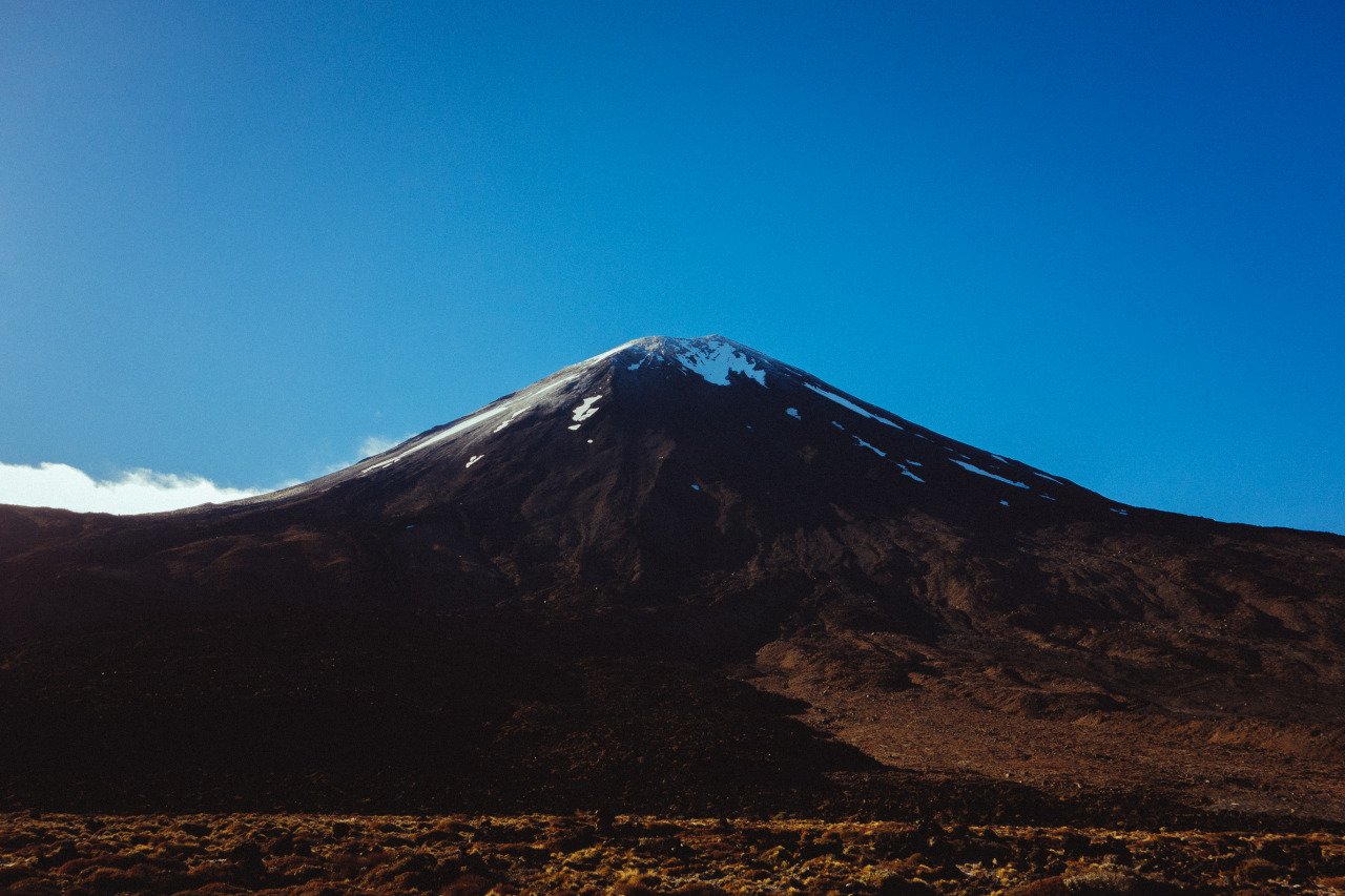
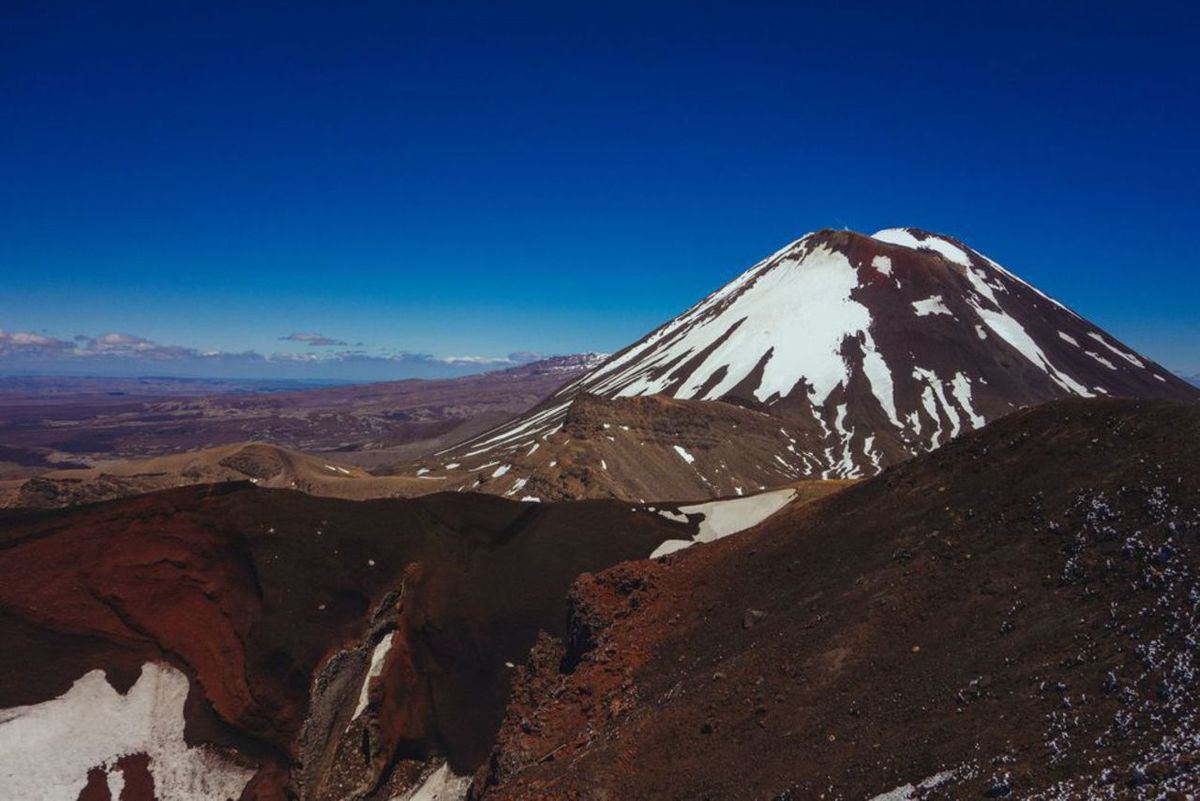
Mt Ngauruhoe is an active stratovolcano that inspired Peter Jackson's depiction of Mt. Doom in the Lord of the Rings films. The mighty mountain, with its red-colored soil laden around its massive crater, is as intimidating in real life as it was to Frodo in the Lord of the Rings films.
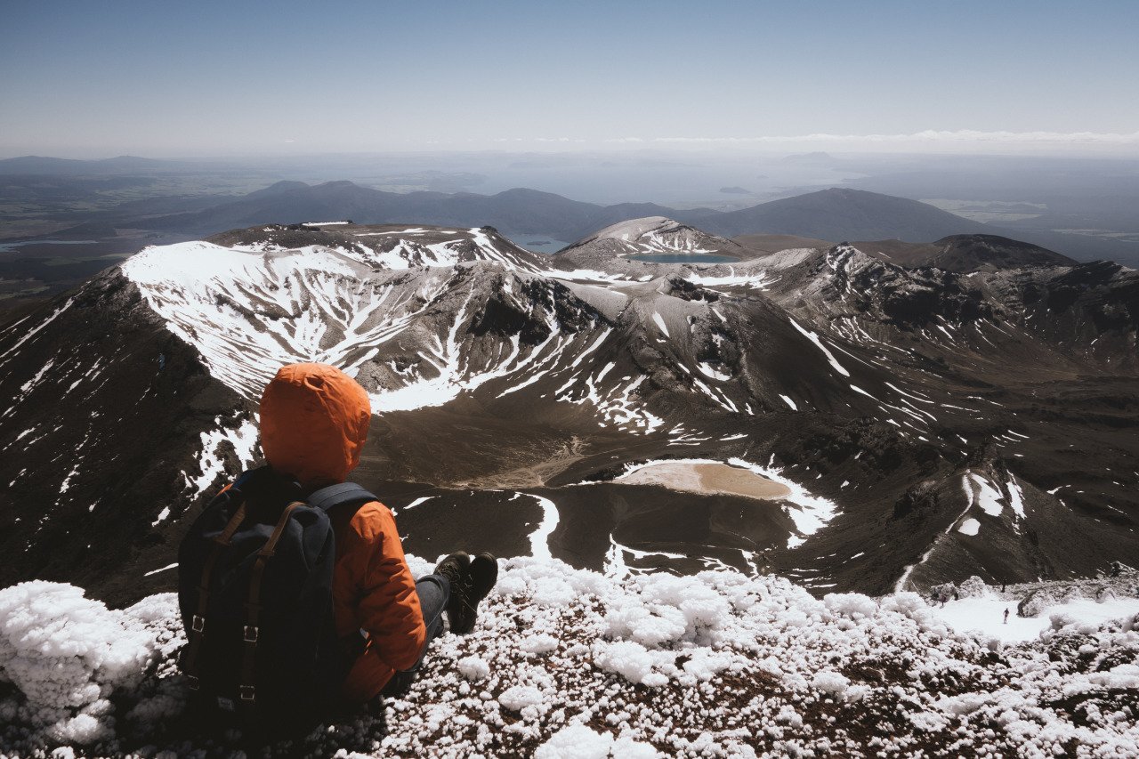
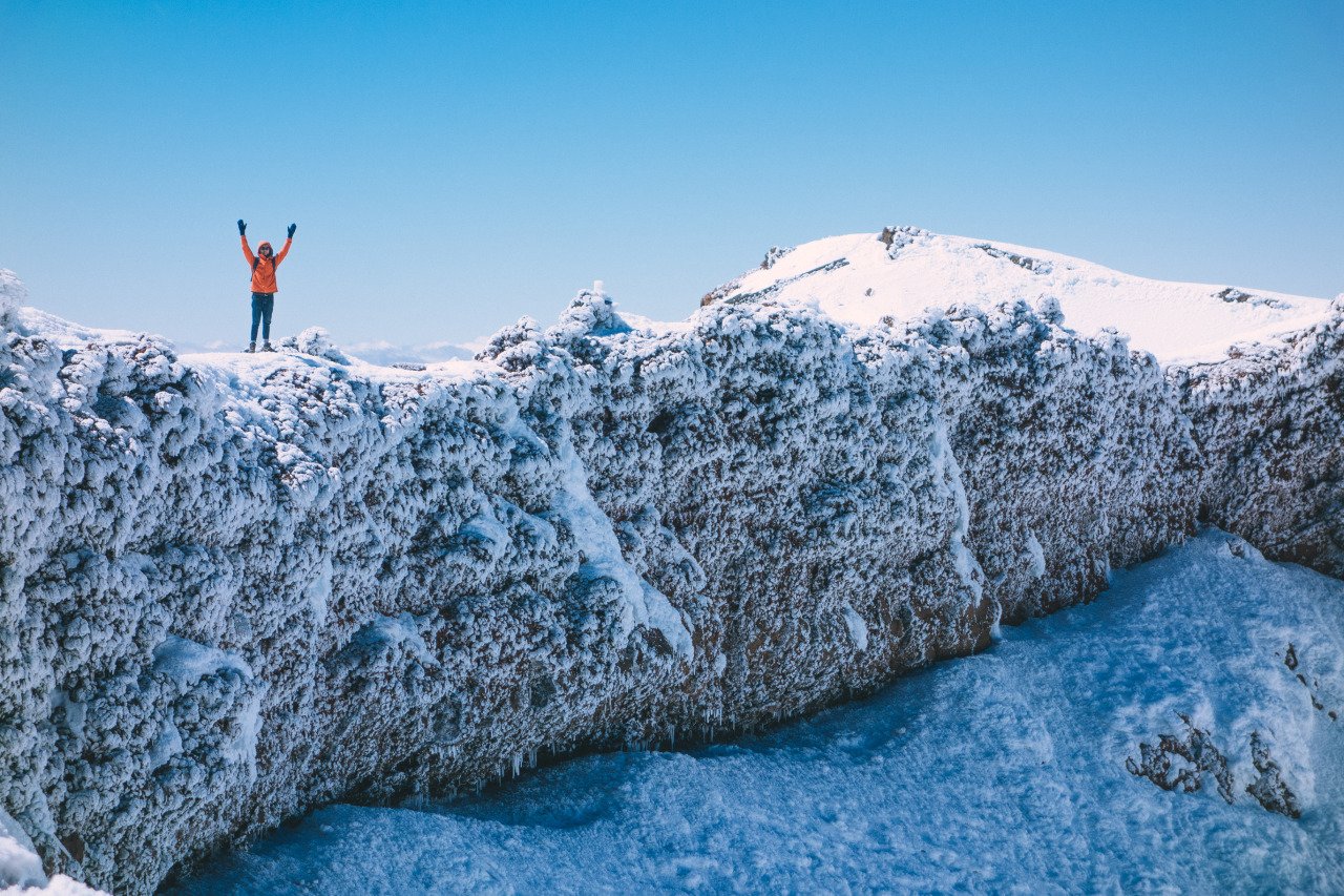
At the time of my hike, the climb required a great deal of fitness and determination. From the summit, I was rewarded with a stunning view across the mountainous landscape of the North Island, including Mt. Taranaki in the distance.
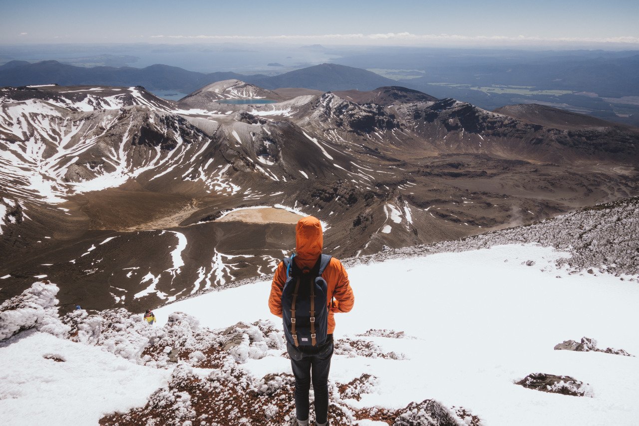
When I did this climb, timing was one of my biggest concerns because it added several hours to an already long day and I still had to make my shuttle at the end of the Crossing.
The route I took was extremely steep, unmarked, and exposed to rapidly changing alpine weather. Looking back, this was by far the most hazardous part of my day.
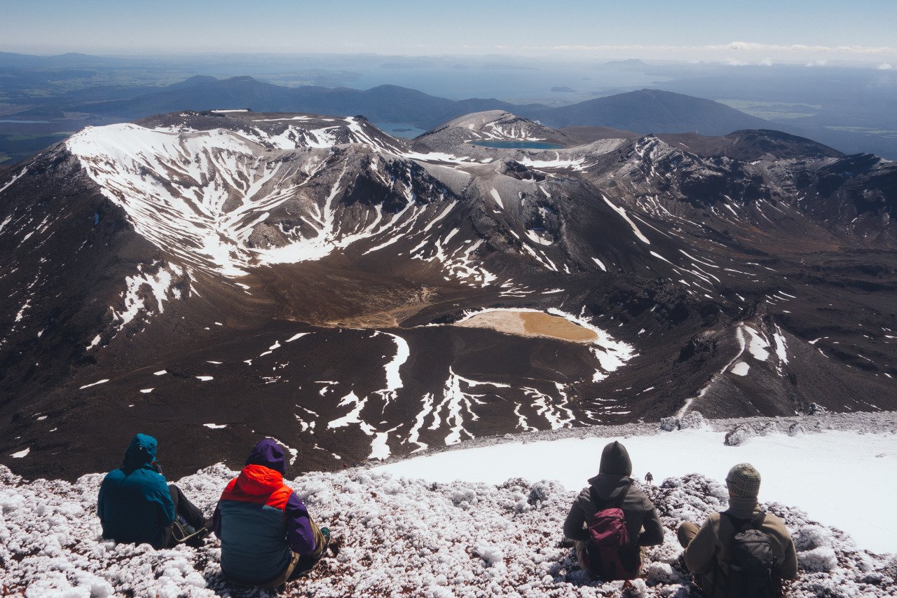
On my trip, other hikers were also attempting the climb, and it took me about two hours to reach the top. .
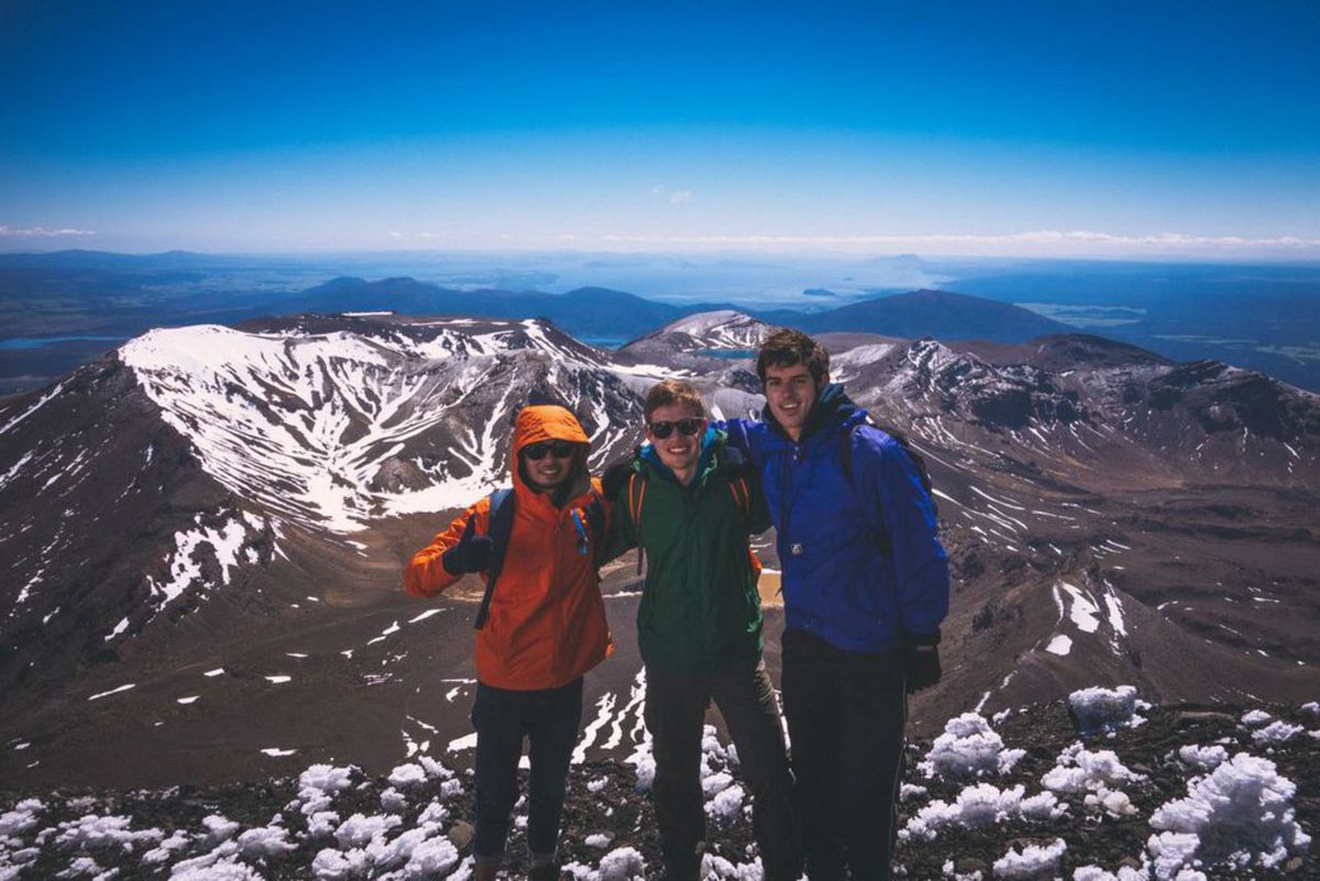
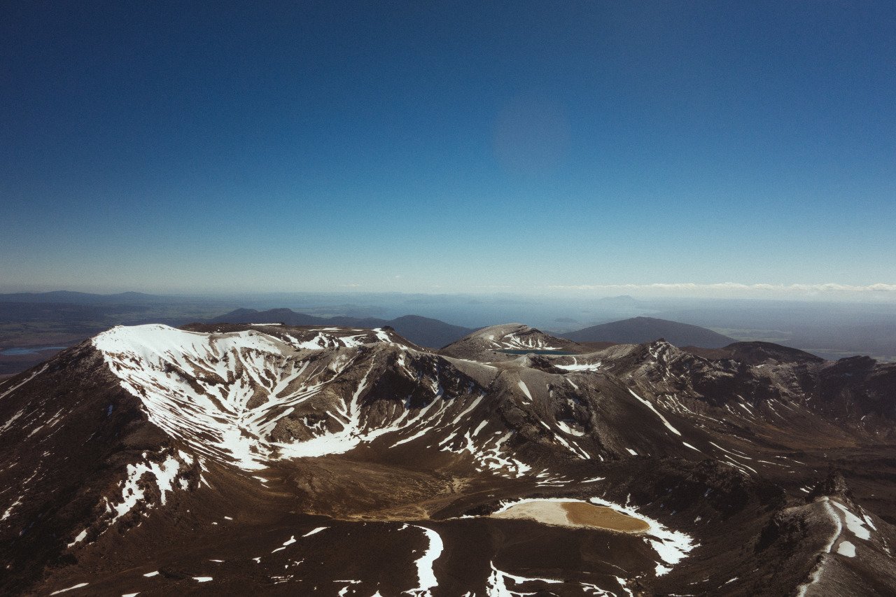
Once I reached the top, I was rewarded with some of the most stunning scenery in New Zealand, with sweeping views of the Tongariro Crossing, Mt. Tongariro, Mt. Taranaki, and, on a clear day, even the ocean in the distance. The moment I saw the view from up there, I knew the climb had been worth it.
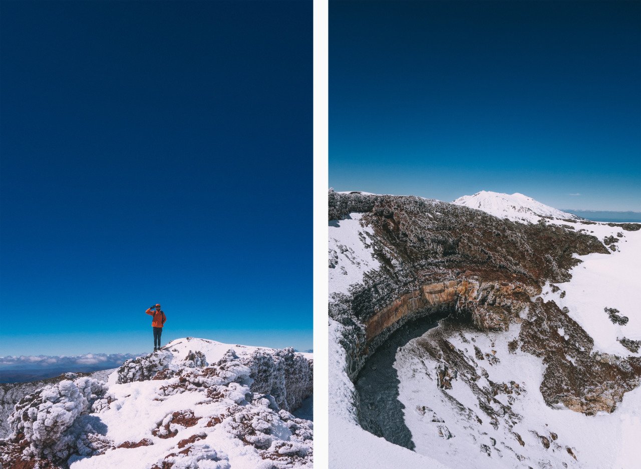
My descent was much faster than the climb and took about 30 minutes, but the loose volcanic terrain created a serious rockfall hazard. I saw firsthand how quickly a dislodged rock could accelerate down the slope.
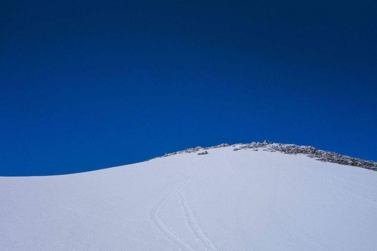
I saw a rock fall down and ricochet the snow so fast that it created such a speed that could have been extremely dangerous for the hikers down the mountain if it were to hit someone. Thank God, no one got hit by it.
Mangatepopo Saddle to South Crater
Difficulty: Easy
Hiking Duration: 1 hour
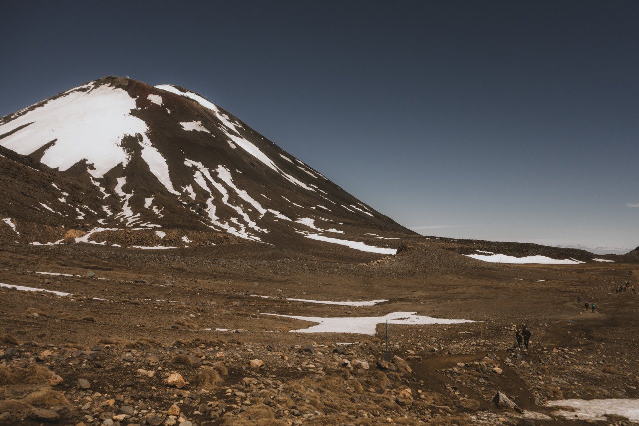
Once you are done with Mt Ngauruhoe, any other sections of the trail will seem easy for you, as you have already completed the hardest part of the hike. The next section of the trail will take you down into the South Crater, a vast barren land between Mt Ngauruhoe and Mt. Tongariro that is not actually a crater but a basin created over 14,000 years ago.
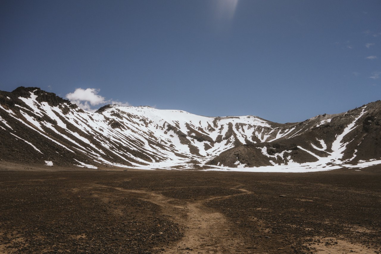
The South Crater's vast terrain will allow you to appreciate the scale of Mt Ngauruhoe and Mt. Tongariro and witness just how active and beautiful the Tongariro Crossing hike is. The trail is an easy stroll along flat terrain for about an hour. When you arrive at the Red Crater, you will have to climb again.
South Crater to Red Crater
Difficulty: Moderate
Hiking Duration: 1 hour
The Red Crater is the highest point of the main Tongariro Crossing trail, standing at around 1900m above sea level. The higher you climb up the Red Crater, the more you will smell sulfur, a sign that you are walking on a very active mountain.
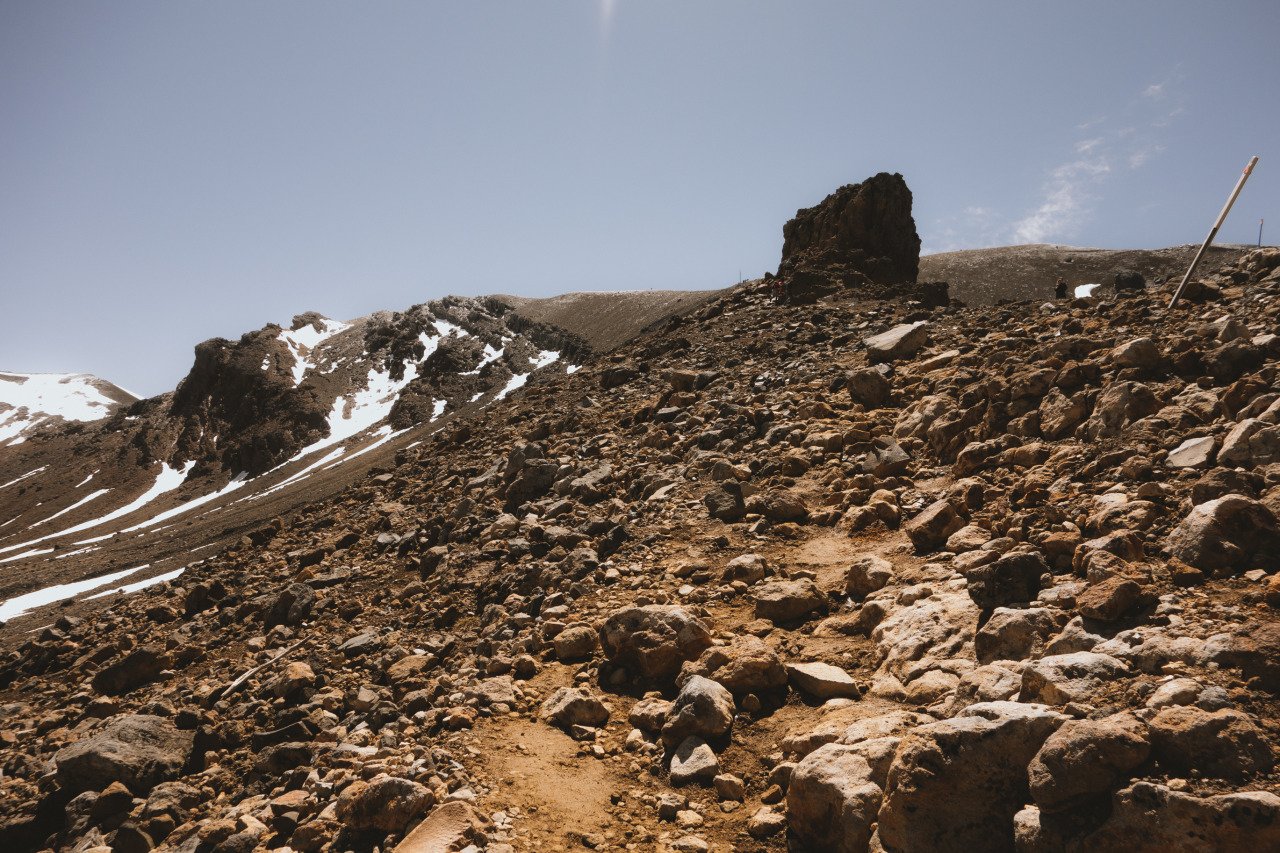
The ascent up the ridge of the Red Crater is quite steep, and this is where you will start to feel the toll it took to hike Mt. Ngauruhoe early on. At least, the trail up the Red Crater has chains that will help you haul yourself up to the top.
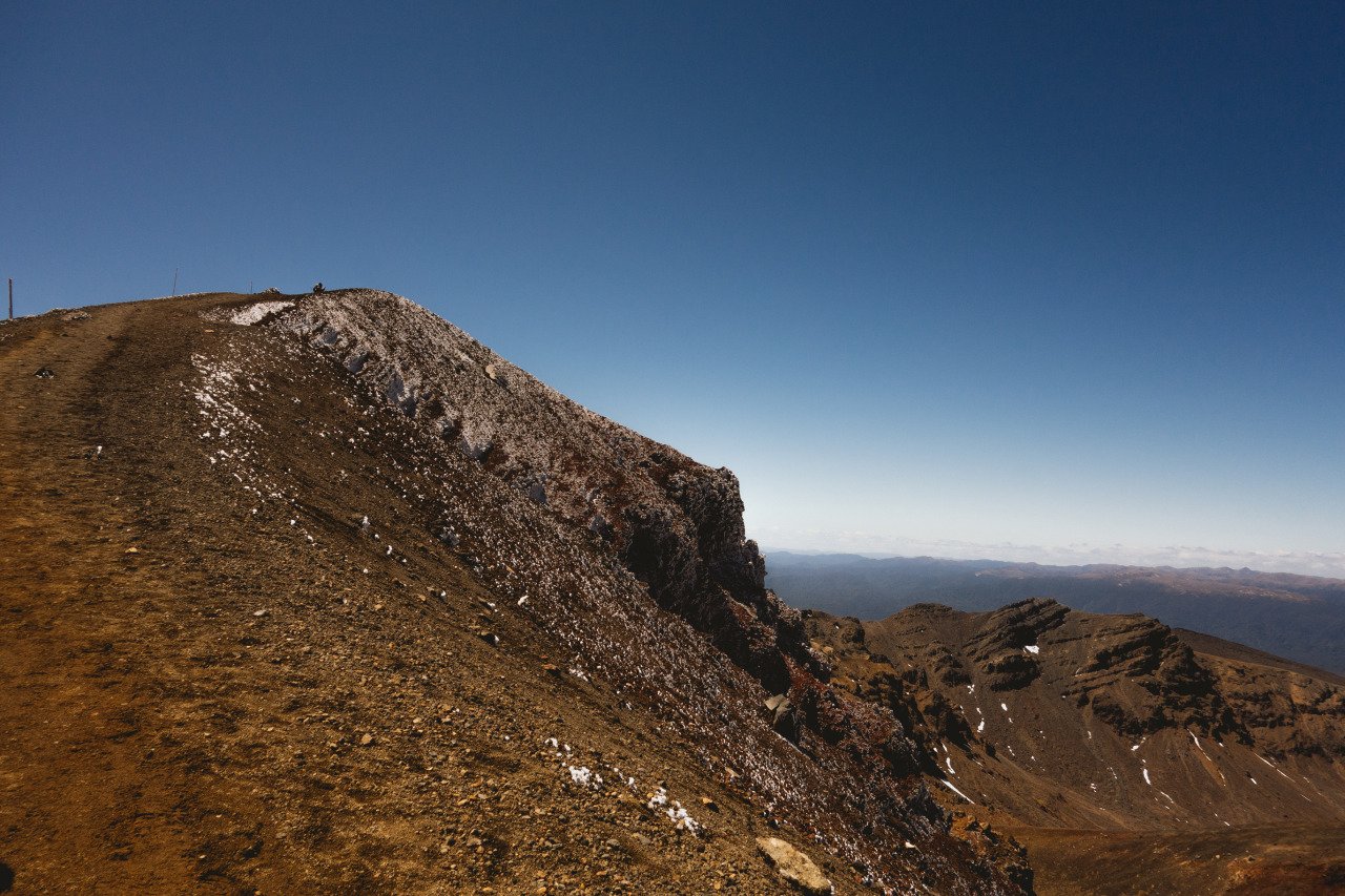
Once you arrive at the ridge of the Red Crater, you will know exactly why it is called the Red Crater. The sloped-down crater exposes the black volcanic soil that was mixed with these red elements, giving the crater its name. You can literally feel the heat coming out from the ground here with your hands.
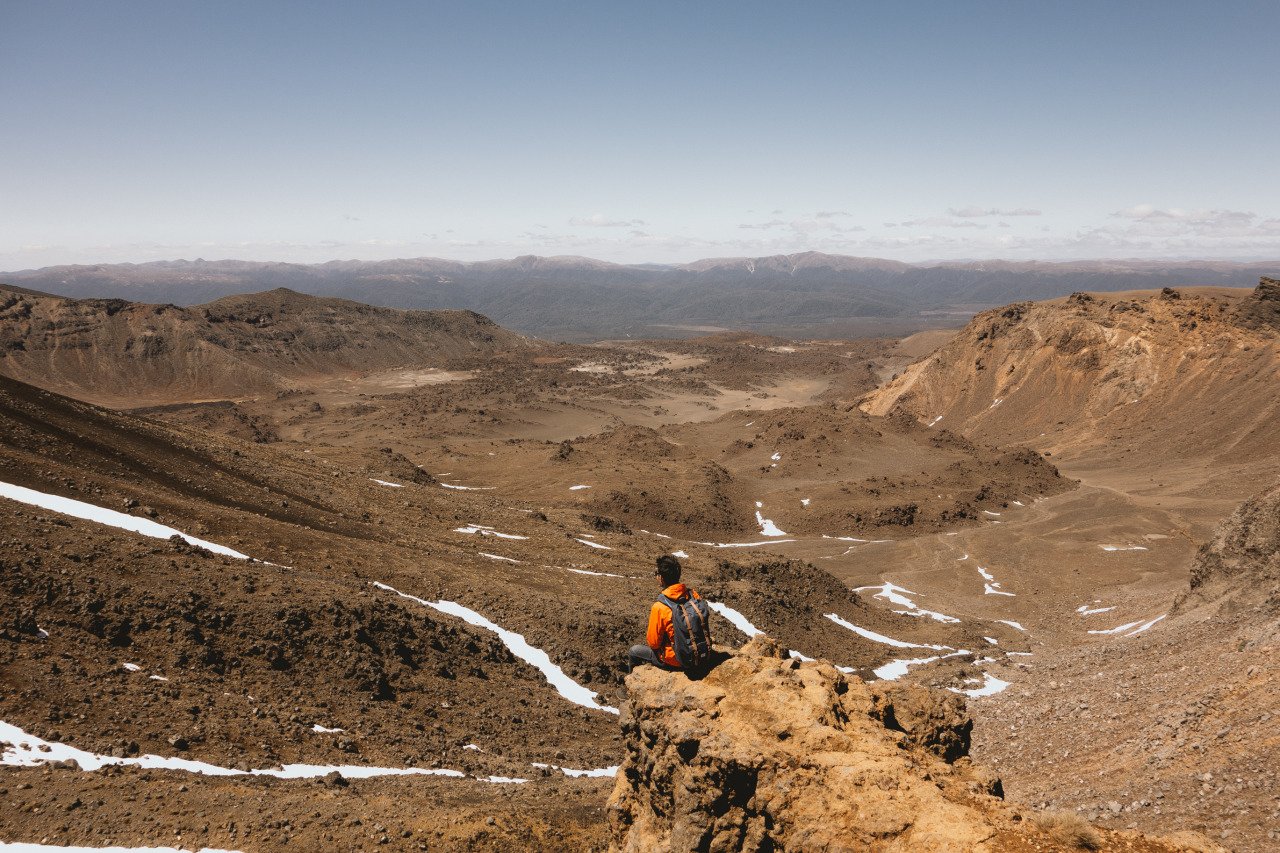
At the top of the Red Crater, you will also be able to enjoy the spectacular views of the Oturere Valley, Rangipo Desert, and Kaimanawa Ranges before the hike continues to the Emerald Lakes.
Red Crater to Emerald Lakes
Difficulty: Easy
Hiking Duration: 15 minutes
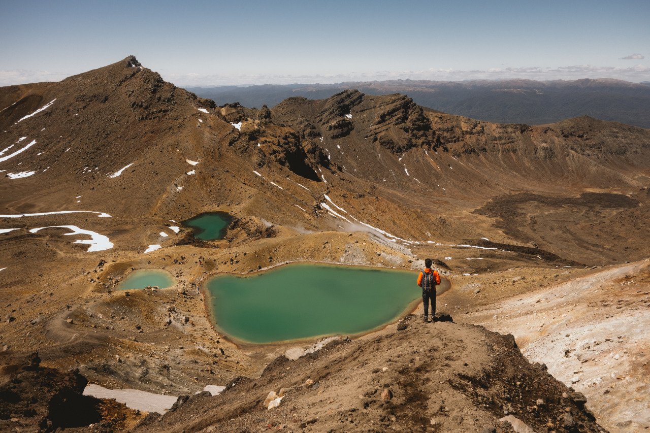
The Emerald Lakes are one of the many reasons why one would want to hike the Tongariro Crossing. These three photogenic, emerald-colored lakes being surrounded by an alien-like landscape are quite a sight to behold.
As you descend down the Red Crater, you will be able to see these beautiful lakes from above. You can stop here for a bit and rest or have lunch before you continue down. From the Red Crater to the Emerald Lakes, the trail is all downhill, and it should take you about 15 minutes to complete.
Emerald Lakes to Ketetahi Hut
Difficulty: Easy
Hiking Duration: 1 hour
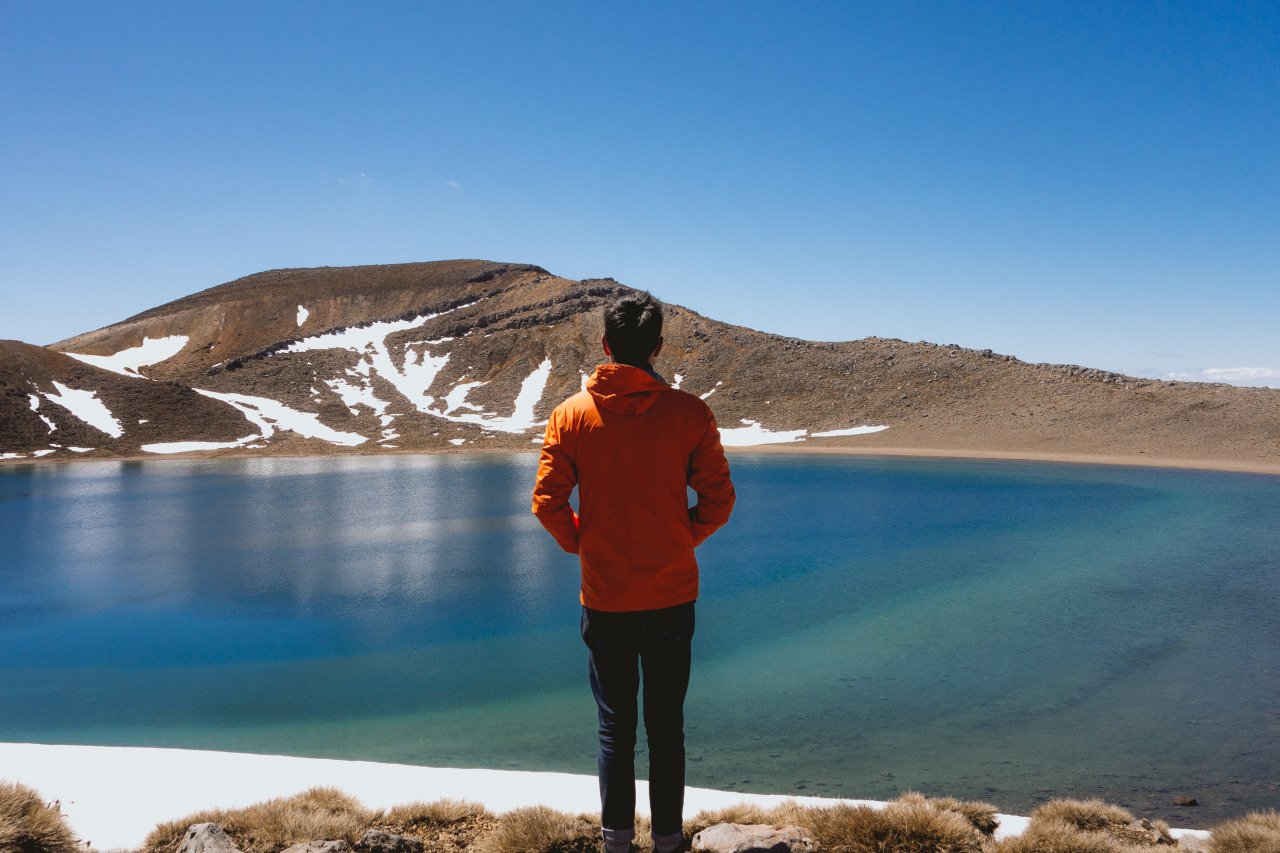
Once you descend from the Red Crater, you will arrive at the Central Crater where you can continue through the barren land until you reach another climb that will take you to the Blue Lake, another beautiful body of water along the Tongariro Crossing trail.
The Blue Lake is formed from the acidic element in the water that came from the nearby volcanoes and is considered sacred to the Maoris. It is beautiful but not as nice as the Emerald Lakes, in my opinion, because you can't appreciate it from above. It should take you around 30 minutes to get from the Emerald Lakes to the Blue Lake.
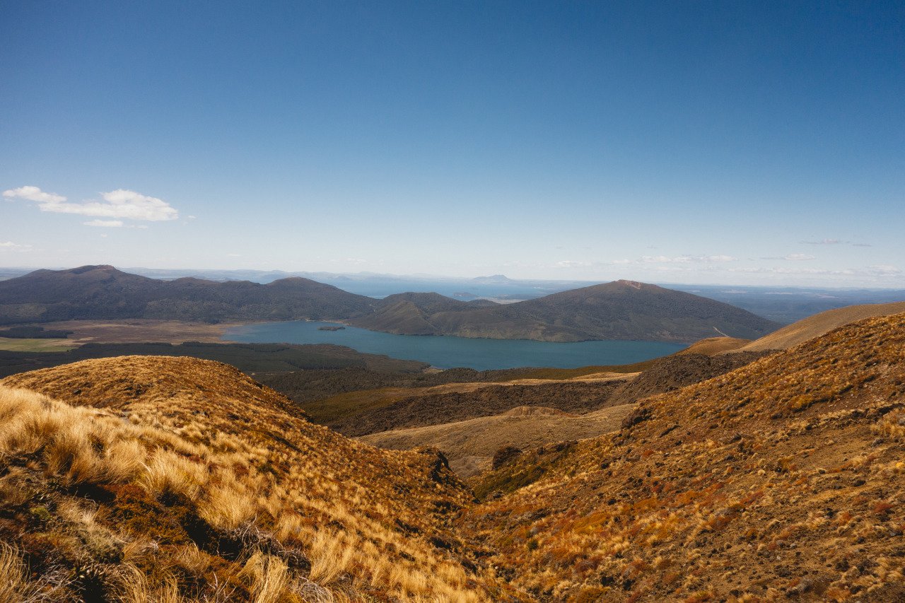
Once you are done at Blue Lake, the trail will descend into the valley, so it will be all downhill from here on out. As you continue down the trail, you will start to see the shift back in scenery from the barren lands of the craters to the similar grassland you saw at the beginning of the trail.
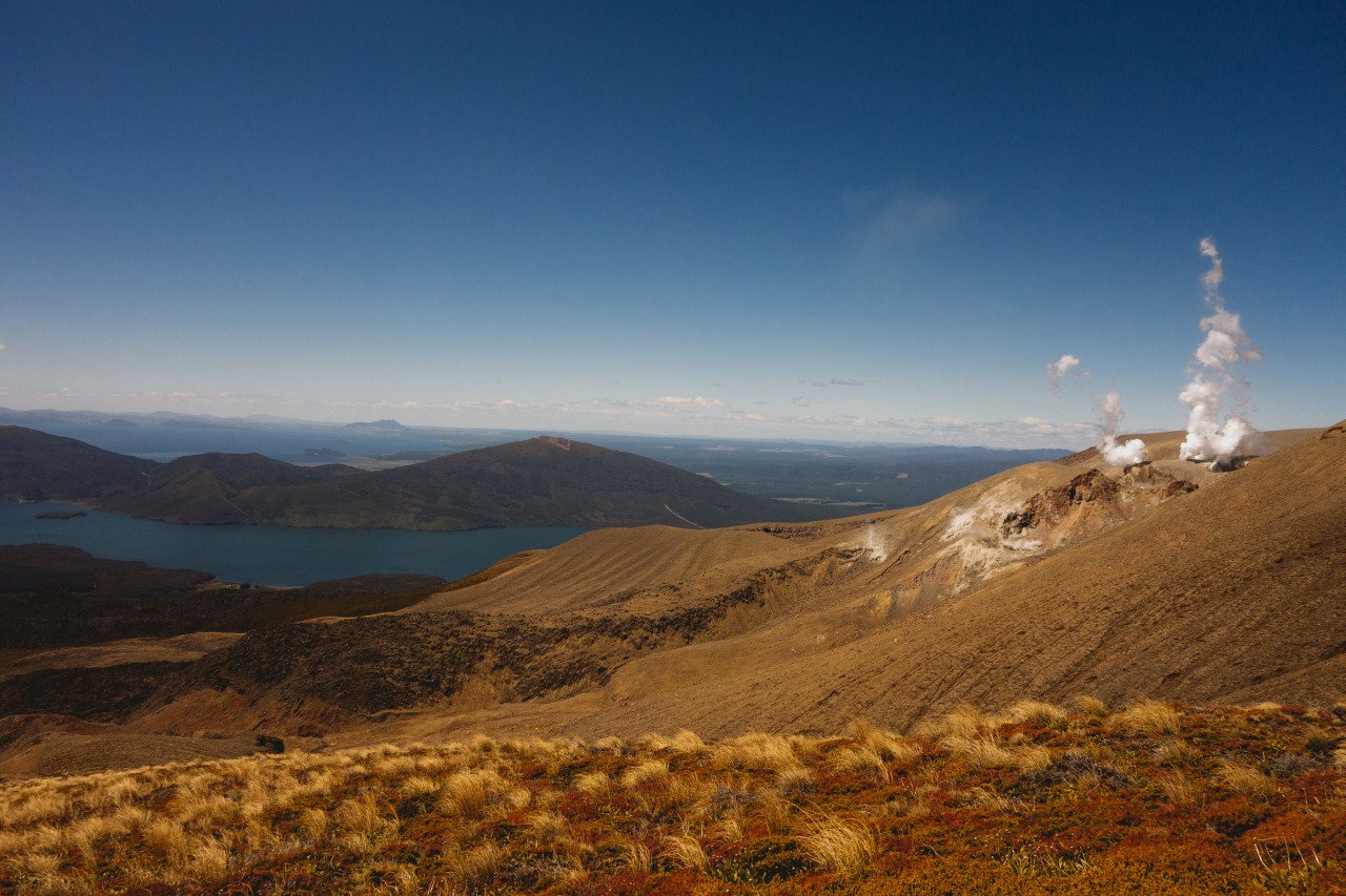
The trail is rather winding and can get a bit repetitive as you zig-zag down the mountain while the view barely changes. One point of interest along this section of the trail is the recently formed steam-spewing crater of Te Maari where, if there is going to be an eruption at the Tongariro Crossing, it would be this one.
Continue down the valley for about an hour, and you will arrive at Ketetahi Hut, where you can take a short toilet break before continuing down the mountain.
Ketetahi Hut to Keetahi Parking Lot
Difficulty: Easy
Hiking Duration: 1.5 hours
From the Ketetahi Hut, it is another 1.5 hours of walking downhill with not much to see along the trail, except for the vast, beautiful grassland and the thick forest where you will be ascending.
Once you find yourself in a forest, you should be back at the Keetahi Parking Lot in no time, where the shuttle bus that dropped you off in the morning will be waiting for you.
It should take around 1.5 hours to walk from Ketetahi Hut to the parking lot, and by that point, your energy should be so depleted that you would want to do nothing more than to get back to Lake Taupo, enjoy a nice shower, a healthy portion of dinner, and a good night's sleep before you tackle your next adventure the next day.
Where to Stay at Lake Taupo?

When to Hike the Tongariro Crossing?
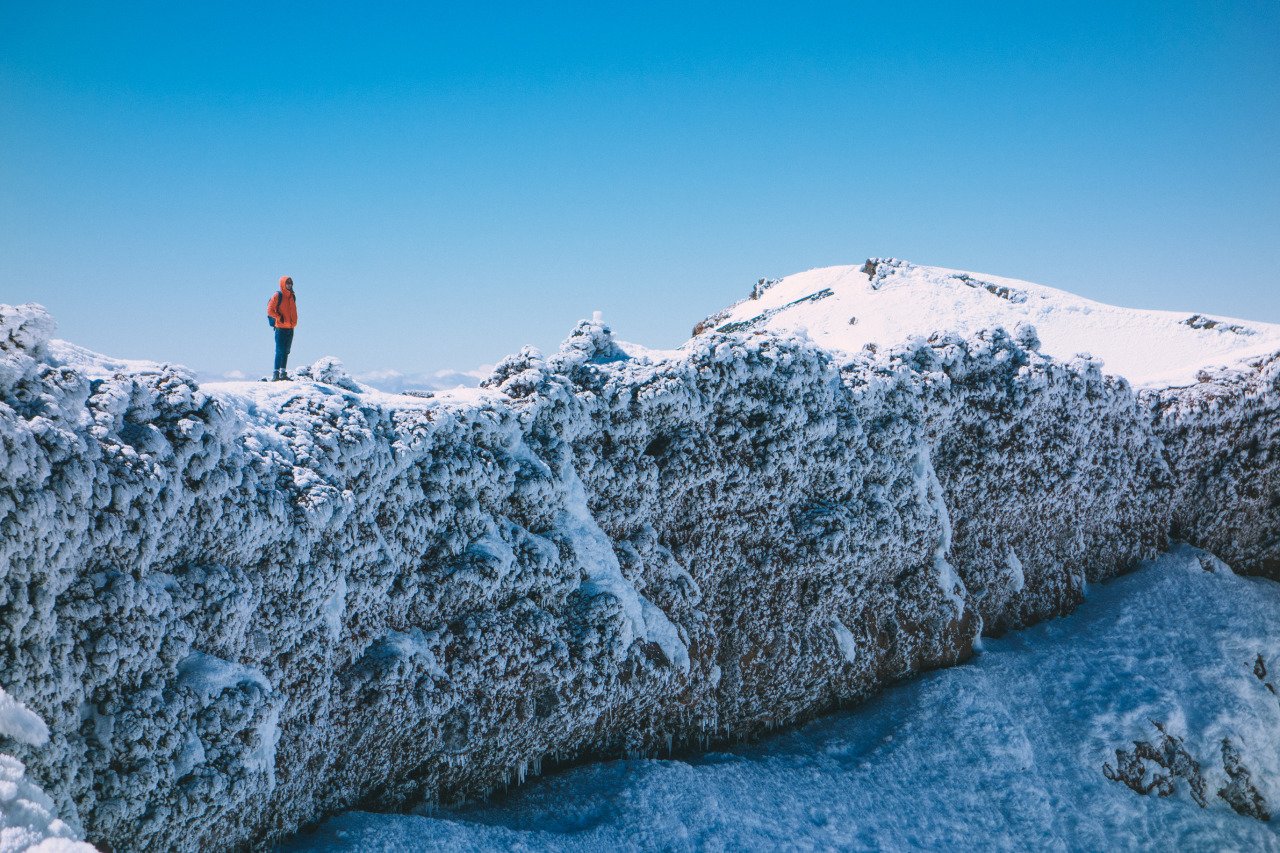
The most straightforward time to hike the Tongariro Alpine Crossing is during the warmer months, roughly November to April, but alpine weather can change rapidly at any time of year. Always check the current DOC track conditions, weather, and volcanic activity before setting out.
From May to October, DOC treats the Crossing as a winter alpine route. Snow, ice, avalanche terrain, and sub-zero conditions are common. You need alpine navigation skills and experience using crampons and an ice axe, as well as avalanche rescue equipment and the knowledge to use it. If you do not have those skills, go with a qualified guide or save the Crossing for summer.
How to Get to the Tongariro Crossing?
Getting from Auckland to Lake Taupo
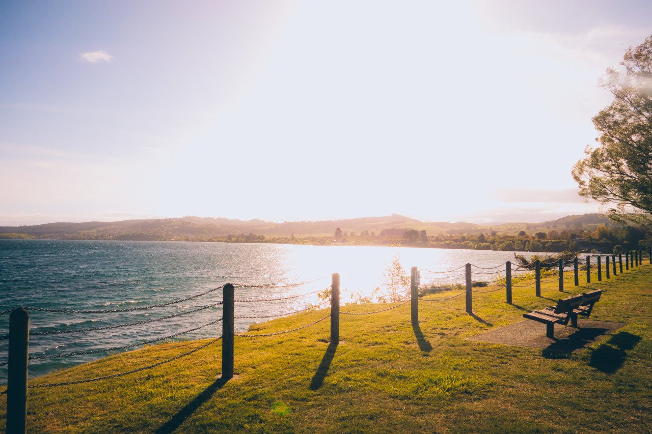
Taupo is still a useful base if it fits the rest of your North Island itinerary, and InterCity buses connect Auckland with Taupo. Timetables and fares vary by date, so check the current schedule rather than relying on the old fixed departure times and prices in this guide.
Getting from Lake Taupo to the Tongariro Crossing trailhead
The Crossing is a 19.4 km one-way hike from Mangatepopo to Ketetahi, so a shuttle is the easiest option for most independent travelers. DOC lists shuttle services from Taupo, Turangi, National Park, Whakapapa, Ohakune, and other nearby towns.
During summer, there is no parking at Mangatepopo for visitors completing the full Crossing. Parking there is limited to short visits, so do not plan to leave your car at the trailhead all day. A private car park operates near the Ketetahi end, and shuttle operators offer a variety of park-and-ride arrangements.
Book your shuttle in advance and confirm its departure and final pickup times directly with the operator, as these vary by season and weather. Using a shuttle or guided service also requires a DOC track booking. You can book the shuttle here. When I did the hike, I booked the shuttle through my hostel. They picked me up at 5:30 AM, and we arrived at the trailhead around 8 AM. The return shuttle departed from the other end at around 4:30 PM, giving me roughly 8.5 hours to complete the hike.
How Long Does It Take To Walk the Tongariro Crossing?
DOC rates the 19.4 km one-way Tongariro Alpine Crossing at 7 - 8 hours. Your actual time depends on fitness, weather, crowds, and how often you stop for photos. Give yourself enough daylight and do not plan your day around the faster 6.5-hour time I recorded on my original trip.
It took me around 8 hours to complete the Tongariro Crossing, as well as the Mt. Ngauruhoe side trip, which is no longer allowed, so your time will likely be less. I started hiking from the Mangatepopo parking lot at 8 AM, and I was at the Keetahi parking lot at 4 PM.
How Much Does It Cost To Do The Tongariro Crossing?
There is currently no fee for the DOC Tongariro Alpine Crossing track booking. For most independent hikers, the main cost is transportation to and from the one-way trail. Shuttle prices vary by starting point and operator, so check current rates when you book.
If you already have your own transport, remember that summer hikers completing the full Crossing cannot leave a vehicle at Mangatepopo all day. You will still need to arrange suitable parking and/or a shuttle. Last I checked, the return shuttle is 75 NZD per person.
Is the Tongariro Crossing Safe?
The Tongariro Alpine Crossing is a well-known day hike, but it is still a challenging alpine route through an active volcanic landscape. Weather can change quickly, the climb to Red Crater is steep and exposed, and conditions can become dangerous even in summer.
Before hiking, check the latest DOC track alerts, the weather forecast, and GeoNet volcanic information. Carry warm and waterproof clothing, food, 2 - 3 litres of drinking water, a charged phone, and enough daylight to complete the route. Water found along the track is not suitable for drinking.
Winter is a different proposition entirely. From May to October, snow, ice, and avalanche terrain mean the Crossing should only be attempted by people with appropriate alpine skills and equipment, or with a qualified guide.
Which tourist SIM card is best for New Zealand?
For a trip around New Zealand, having a local SIM or eSIM is useful, especially when you are checking weather and transport while moving between towns. The main networks include Spark, One NZ, and 2degrees, all of which offer prepaid options.
Plans and data allowances change frequently, so compare the current prepaid or visitor packages based on the length of your trip rather than relying on the old Spark plans previously listed here. If your phone supports eSIM, that is often the easiest option; otherwise physical prepaid SIMs are widely available.
Do not rely on mobile reception for navigation or emergency communication in alpine terrain. Download anything you need before setting out.
What to Pack for the Tongariro Crossing Hike?
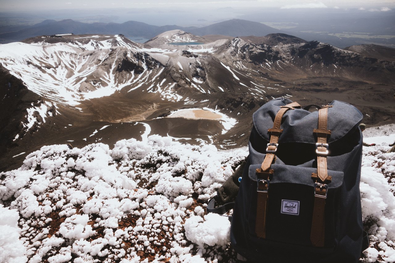
For a summer Crossing: carry 2 - 3 litres of drinking water, food, waterproof jacket and pants, warm layers, hat and gloves, sunscreen, sturdy footwear, a charged phone, and a head torch. There is no safe drinking water available along the track.
For May to October: this becomes an alpine winter route. DOC says crampons, an ice axe, helmet, avalanche transceiver, probe, and shovel are essential, along with the skills to use them. If you do not have winter alpine experience, use a qualified guide.

Disclaimer: This post may contain affiliate links. See our disclosure policy.
First Published:
Last updated:


3 Comments
Tongariro Crossing - loved it! One of the best things I've done in my life, 'though we didn't make it up to Ngauruhoe :)
Aiming to do this soon, your post is so inspiring! I'm a solo backpacker, can I just book a hostel and a shuttle for the next day and take it from there? Is it easy to meet others wanting to do the same, I'm not an experienced hiker but is a guide necessary, I'm budgeting :) thanks!
Next month I have a plan to go to Tongariro Alpine Crossing but the cost is quite expensive in compare to your budget due to the requirement of having the guide and special equipments. It is $175 included the transportation from Taupo. Hope it could be awesome as your one.