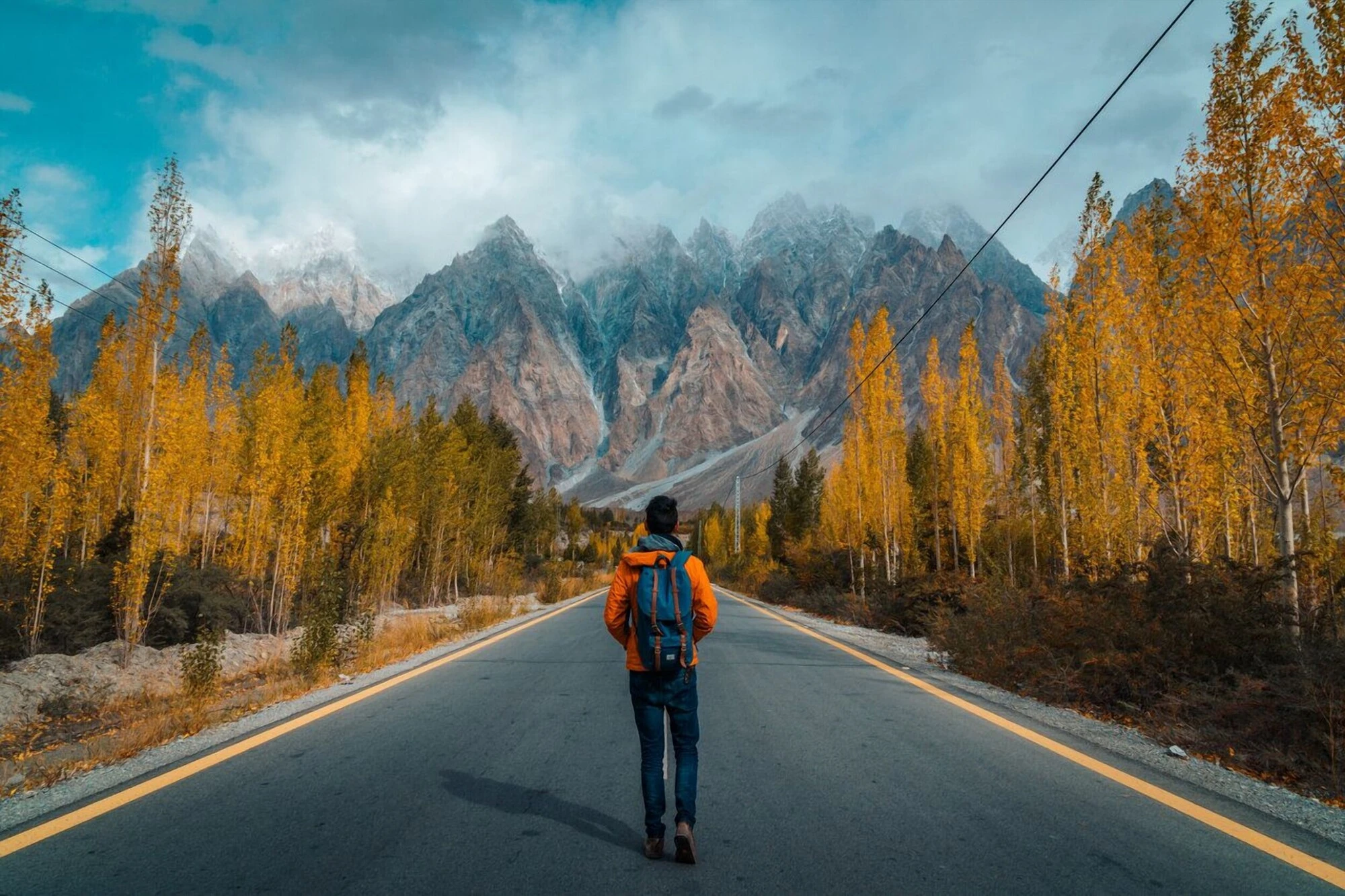


Some call it the 8th wonder of the world, the Karakoram Highway (KKH) is an ancient Silk Road turned international highway that connects Pakistan and the entire Indian subcontinent to China. It has been traversed by traders and curious travelers alike for many centuries, as the route goes through the three highest and most beautiful mountain ranges in the world: the Himalayas, the Karakoram, and the Hindu Kush.
With this guide, you can be one of those curious travelers who explore one of the most beautiful roads in the world. Here is everything you need to know to travel the Karakoram Highway in 2 weeks.

Karakoram Highway Itinerary Map
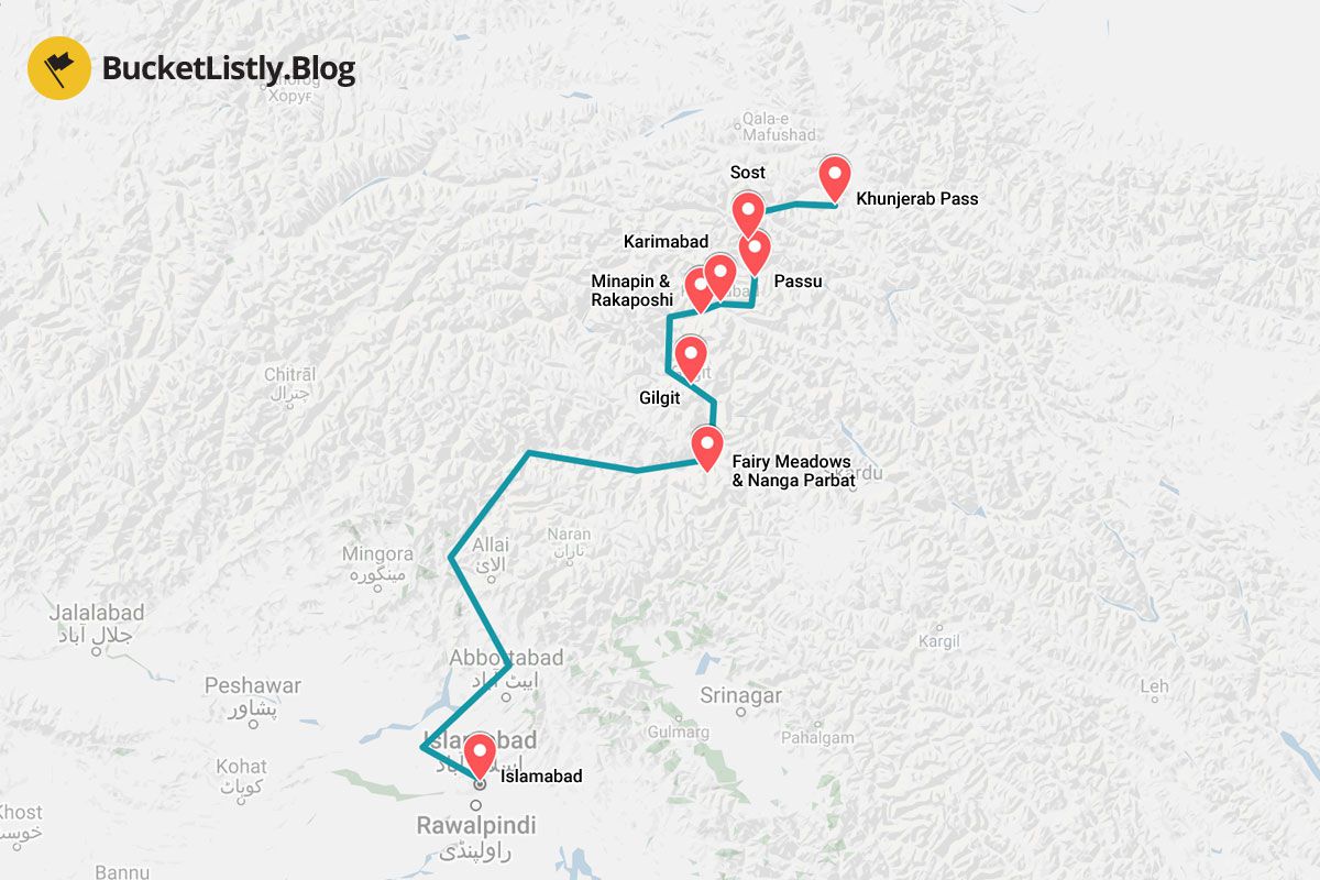
Quick Summary
| ☀️ Day 1: | Islamabad |
|---|---|
| ☀️ Day 2: | Overnight Bus to Gilgit |
| ☀️ Day 3-5: | Fairy Meadows & Nanga Parbat Base Camp |
| ☀️ Day 6: | Gilgit |
| ☀️ Day 7-8: | Minapin & Rakaposhi Base Camp |
| ☀️ Day 9-10: | Karimabad |
| ☀️ Day 11: | Passu |
| ☀️ Day 12-13: | Sost & Khunjerab |
| ☀️ Day 14: | Islamabad |
2 Weeks Karakoram Highway Itinerary
Day 1: Islamabad (2 nights)
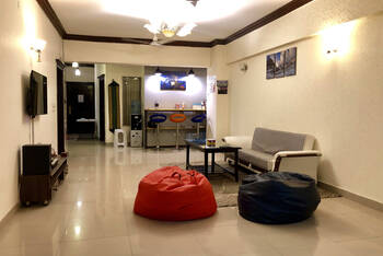
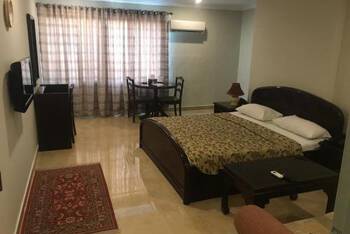
- 📍 Stay: Jasmine Inn
- 🕐 Time: 2 nights
- 📖 Full Guide: 6 Best Places to Visit in Islamabad
Spend your first day in Islamabad preparing yourself for the Karakoram Highway. If you are planning to go hiking along the Karakoram Highway, the Centaurus Mall in sector F8 is a great place to do some last-minute shopping, stocking up on snacks and food before your trip to the mountains.
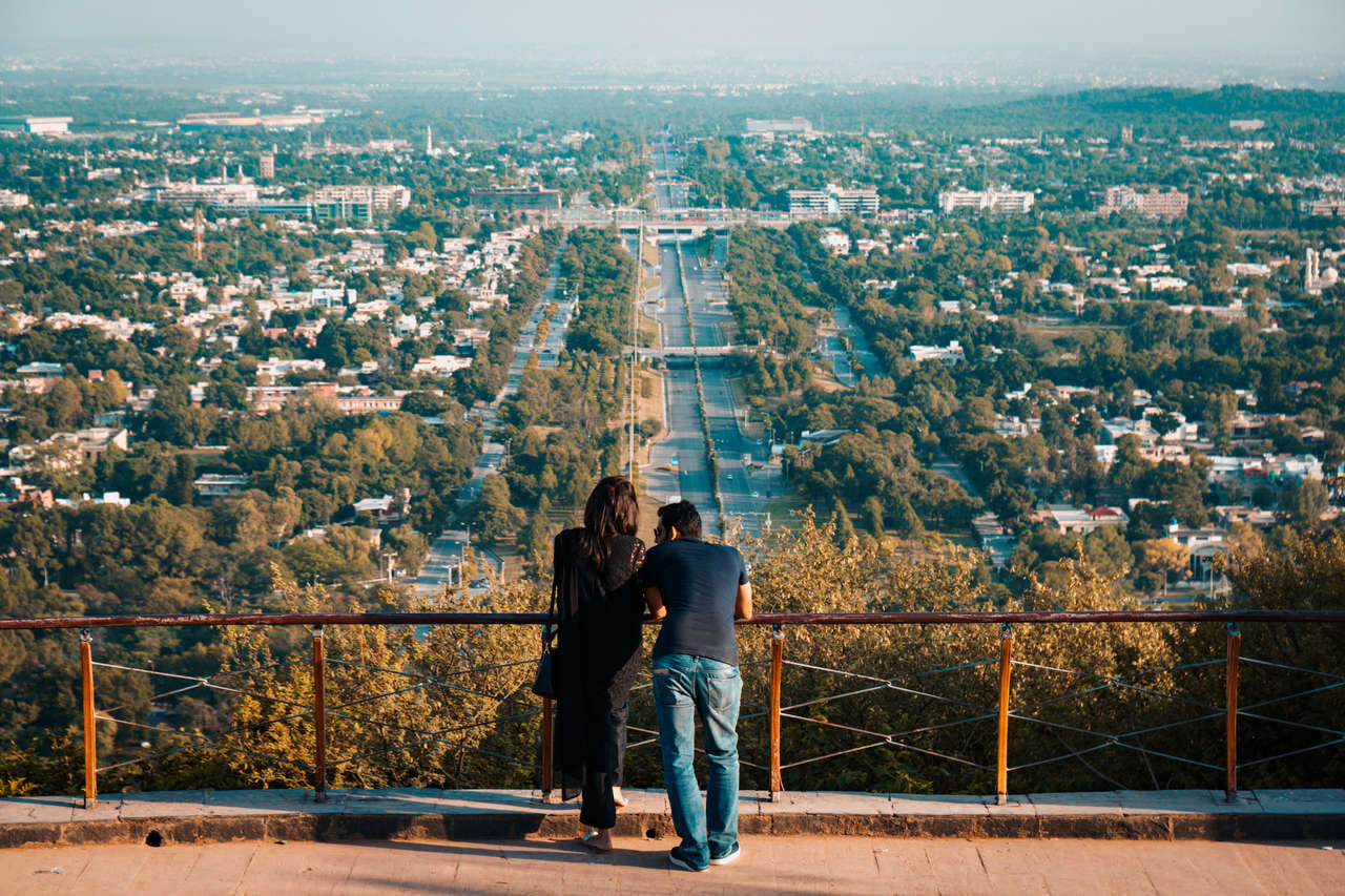
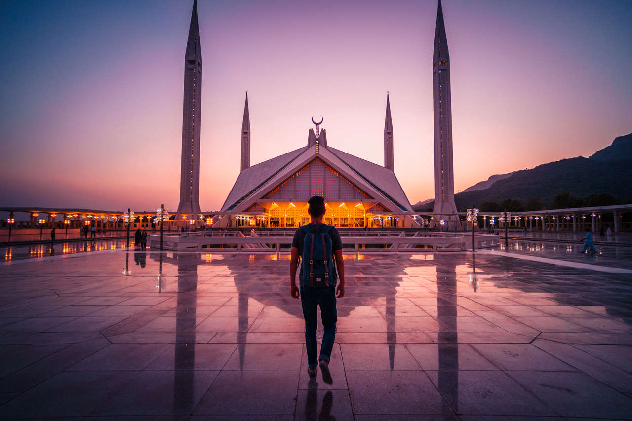
There are also several places that are worth seeing in Islamabad, such as the Pakistan Monument, the Faisal Mosque (best seen at sunset), Daman-e-Koh, and Pir Sohawa.

Where to Stay in Islamabad?
Day 2: Overnight Bus to Gilgit (1 night)
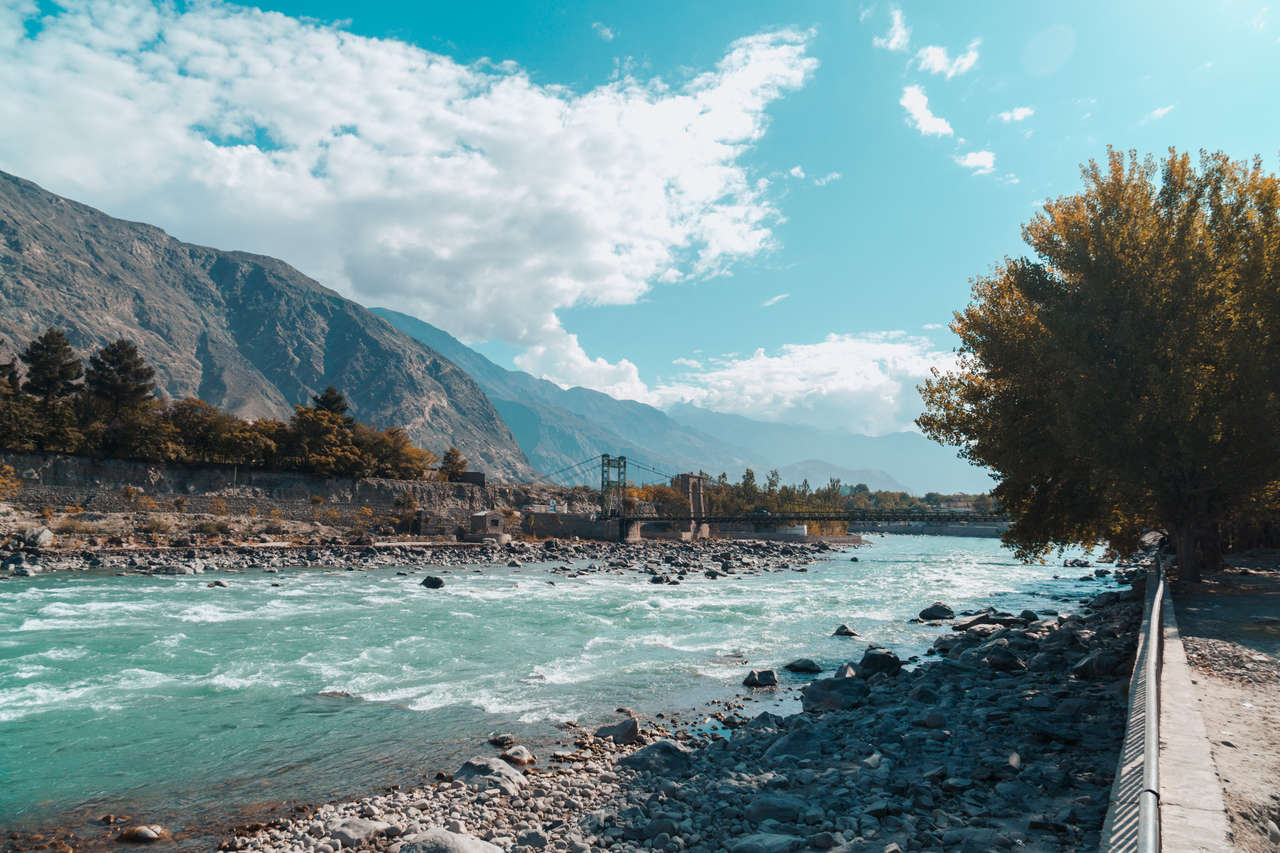
- 📍 Stay: Raahi Hotel Gilgit
- 🕐 Time: 1 night
- 📖 Full Guide: How To Get To Gilgit From Islamabad
When I traveled this route, I took an overnight NATCO bus from Islamabad to Gilgit. NATCO still operates the route with current services having multiple departure times, but keep in mind that schedules often change. Check NATCO's current timetable before you travel and choose the departure that works best for you.
- Hunza Valley & Fairy Meadows Tour, Gilgit-Baltistan, Pakistan (10 days)
- Hunza Cherry Blossom Tour 2024/25 (7 days)
- Explore Hunza Valley Pakistan 2024/25 (7 days)
- Pakistan's Karakoram Highway (14 days)
When I made this trip, there were several police checkpoints along the Karakoram Highway and I carried multiple passport photocopies, which made the registration process much easier. Procedures for foreign travelers can change, so today I would still carry your original passport plus several paper copies (I had around 10 copies in hand), but ask NATCO or your accommodation about the current checkpoint requirements before departure.
If not, then they will wake you up and ask you to show the passport at every checkpoint, which is not ideal. For more information on what to expect on the overnight trip, click on the link below.

Where to Stay in Gilgit?
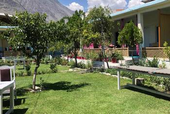
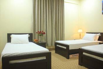
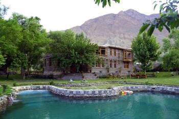
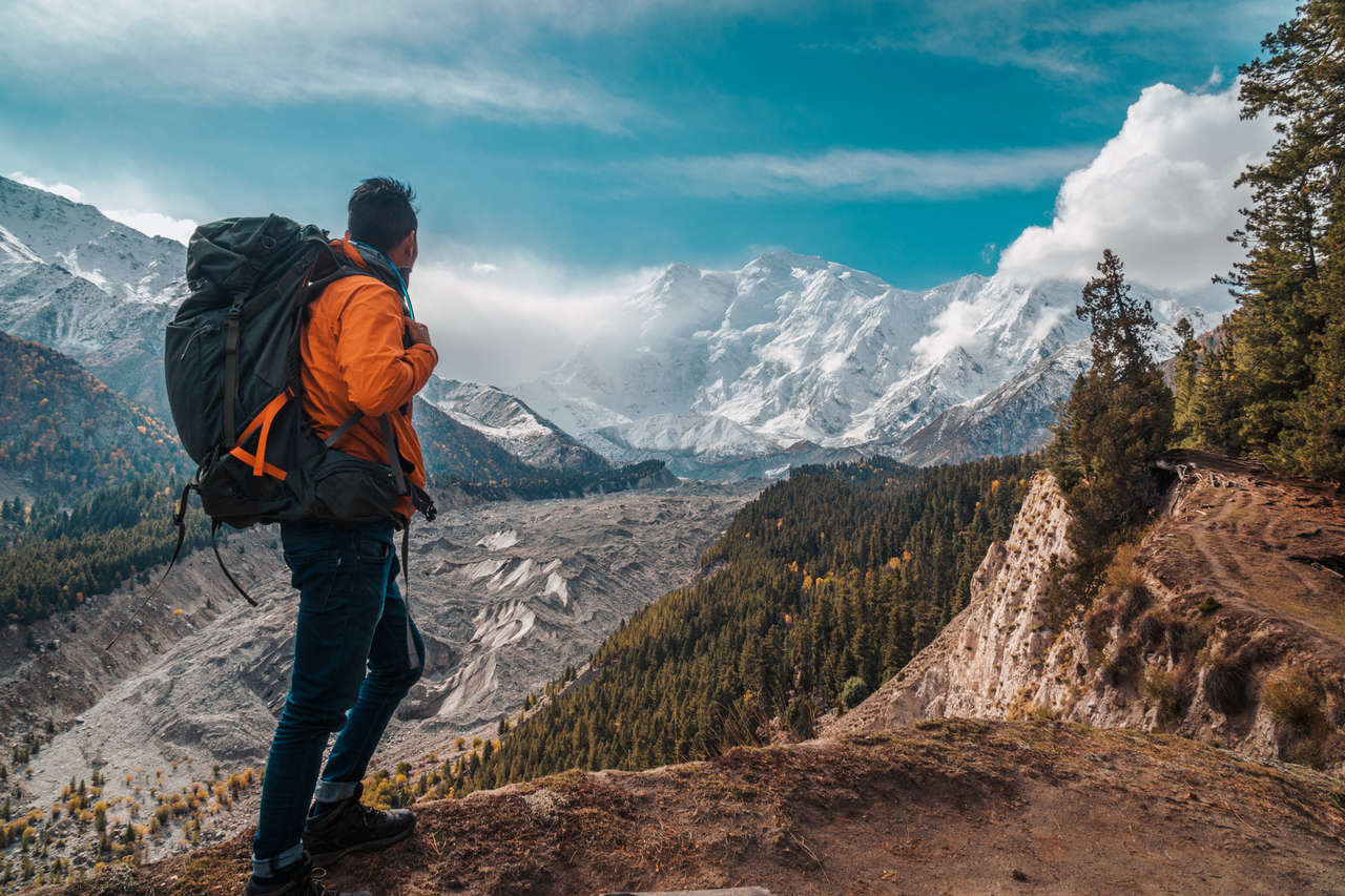
Day 3 - 5: Fairy Meadows & Nanga Parbat Base Camp (2 - 3 nights)
- 🕐 Time: 2 - 3 nights
- 📖 Full Guide: How To Hike The Fairy Meadows, Pakistan
To get to Fairy Meadows, you will either have to stop at Raikot Bridge before arriving in Gilgit via your overnight bus (in case you don't have a lot of luggage), or you can simply go to Gilgit first, find a guesthouse that will let you drop off your stuff, and then get to the Raikot Bridge via a bus heading towards Chilas or a taxi. It will take around an hour to backtrack your way from Gilgit to Raikot Bridge.
From Raikot Bridge, you have to take one of the local 4WD jeeps up the narrow track to Tattu Village; only local jeep drivers are allowed to operate this road. When I visited, I paid around 7,600 PKR for a round trip. In 2026, local operator reports put the rate at roughly 12,000 - 16,000 PKR per jeep round-trip, while solo travelers may be able to share a jeep for roughly 2,500 - 3,000 PKR per person. Rates can change with fuel prices and the season, so confirm the posted rate at Raikot Bridge.
From there, it is an hour's drive up one of the bumpiest roads in the world, and then you will have to hike for 2 hours before arriving in Fairy Meadows.
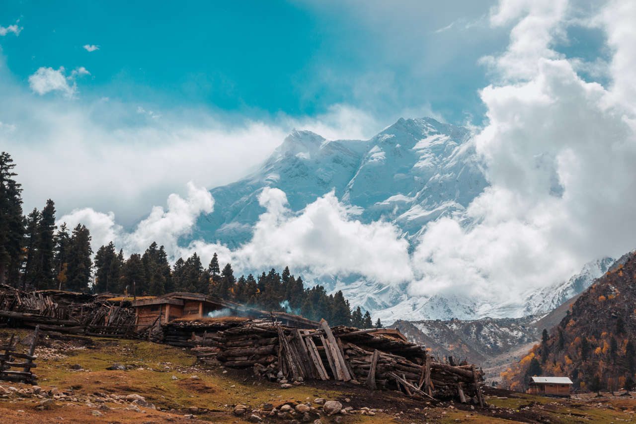
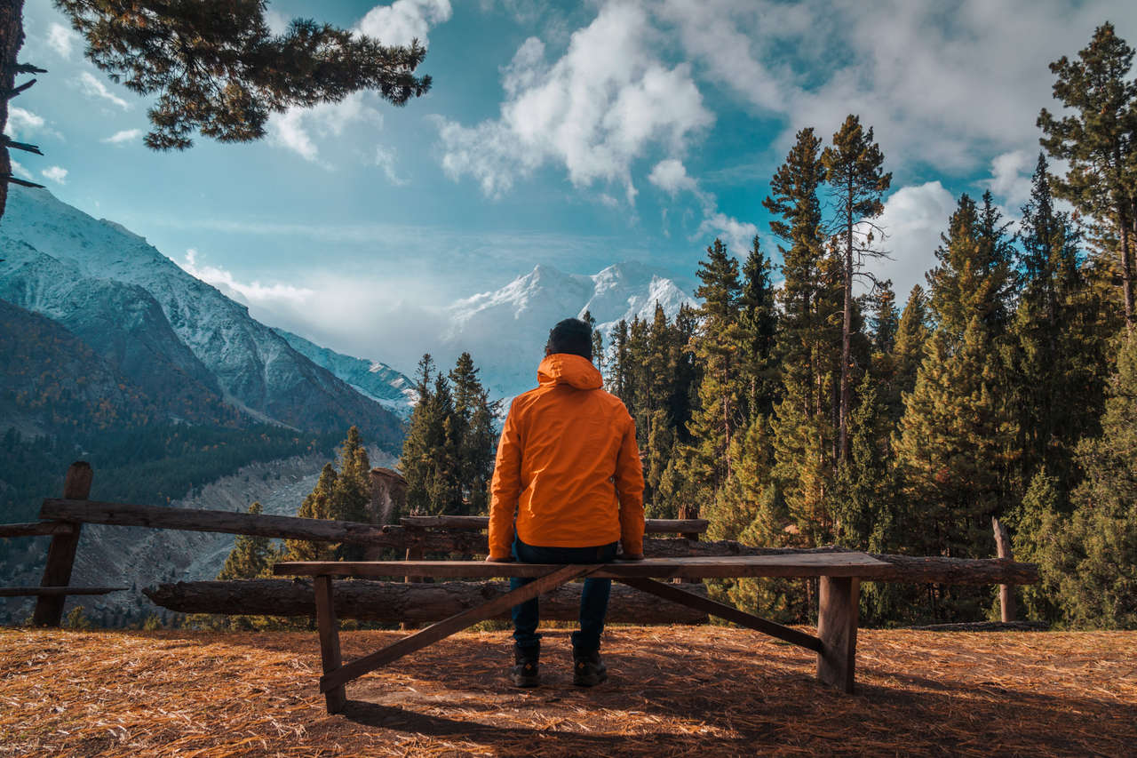
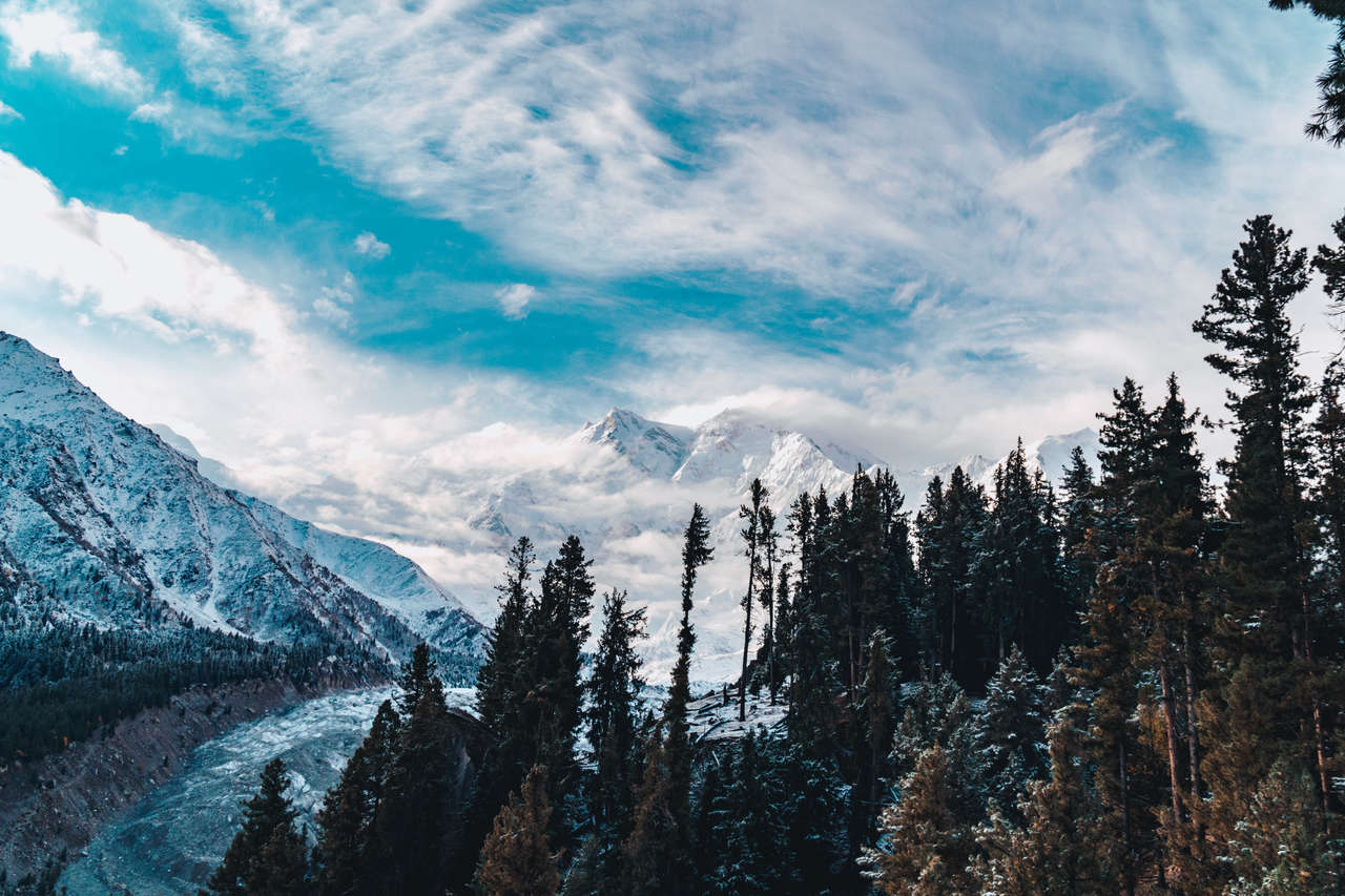
Spend at least 2 nights in Fairy Meadows so you can enjoy the view of one of the deadliest mountains in the world, Nanga Parbat, or as it is infamously known among mountaineers, the "Killer Mountain".
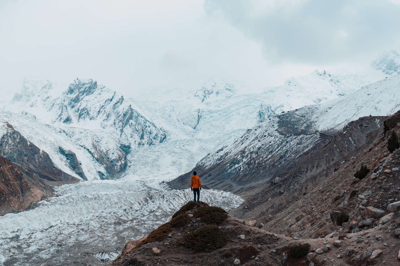
You can do a day hike to Beyal camp or, if you are fit, go straight to Nanga Parbat Base Camp and admire the mighty Nanga Parbat up close. It is really beautiful up there, so do not hesitate to spend a few more days if you have the time.

Where to Stay in Fairy Meadows?
Gilgit (1 Night)
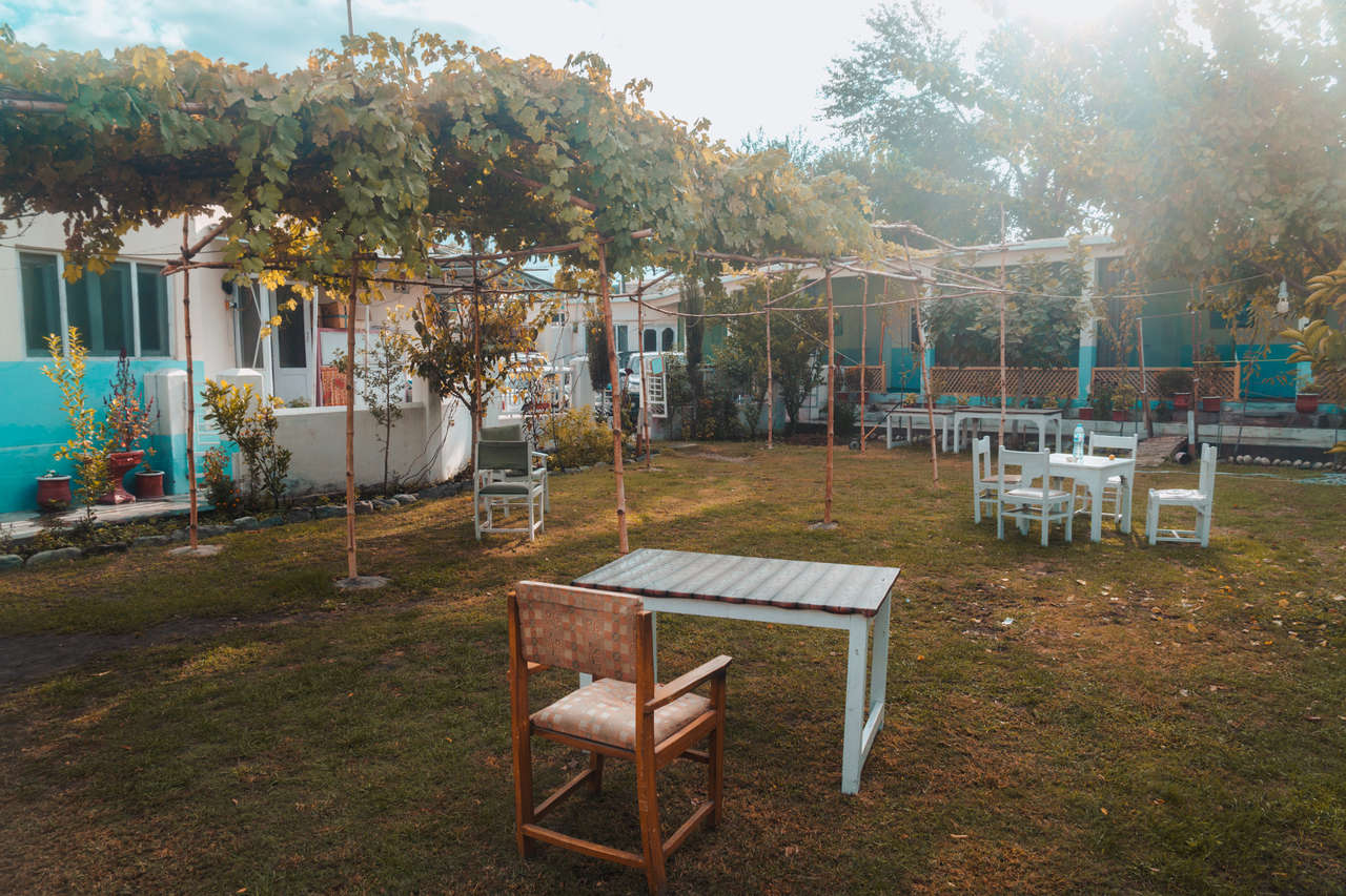
After staying in the mountains for a few days, take the jeep back down and hitchhike or get a taxi to Gilgit. Spend the day relaxing in the courtyard of Madina Hotel 2 and have a nice, warm shower before we go deeper into the mountains.
Day 7 - 8: Minapin & Rakaposhi Base Camp (2 nights)
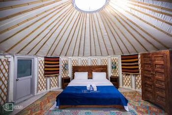
- 📍 Stay: Roomy Yurts, Minapin Nagar Hunza
- 🕐 Time: 2 nights
- 📖 Full Guide: How To Hike The Rakaposhi Base Camp In One Day
From Gilgit, you can continue toward Minapin by shared van, local bus, taxi, or hitchhiking. When I visited, I used the Nagar Valley bus stop, but I would not rely on the old 3 PM departure anymore. Local transport in this part of Gilgit-Baltistan can be informal, so ask your accommodation or at the transport stand for the next vehicle heading toward Nagar/Minapin. Spend your first night there and prepare a lunchbox for tomorrow's hike.
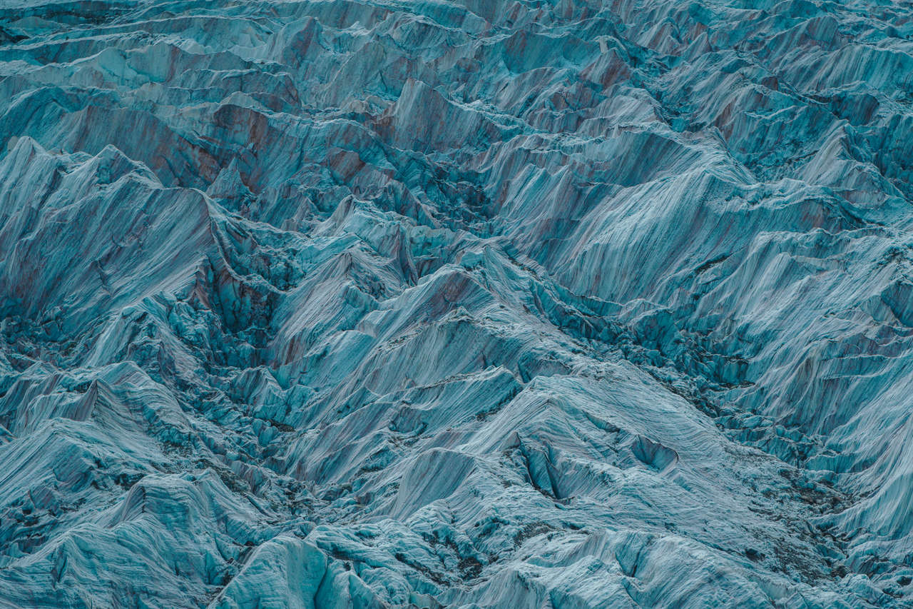
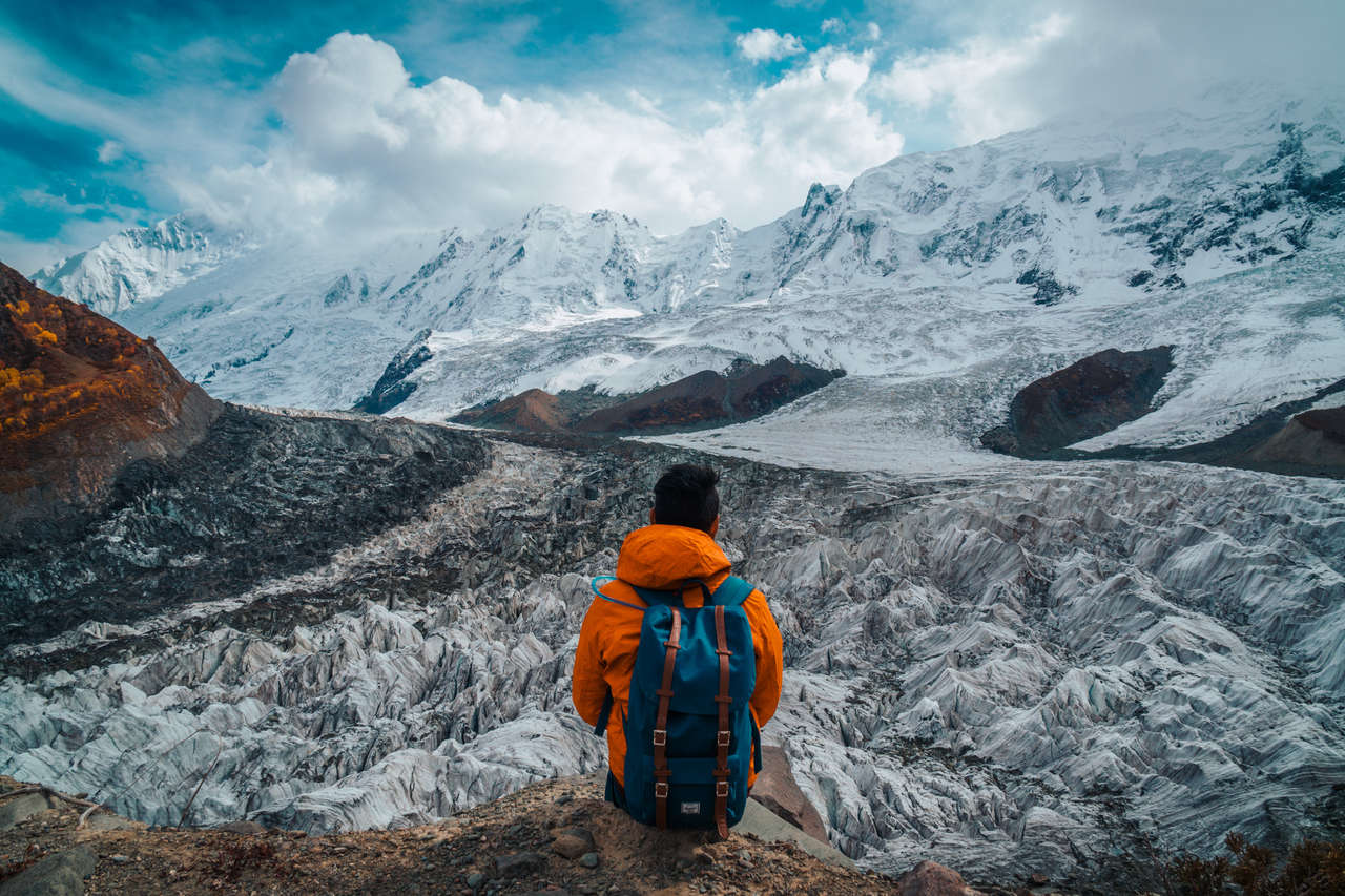
Start hiking to the Rakaposhi Base Camp as early as you can, as it will take you around 4 hours (non-stop) to reach the base camp. When you arrive on the ridge, you will be greeted with a panoramic view of one of the most beautiful and psychedelic glaciers I have ever seen.
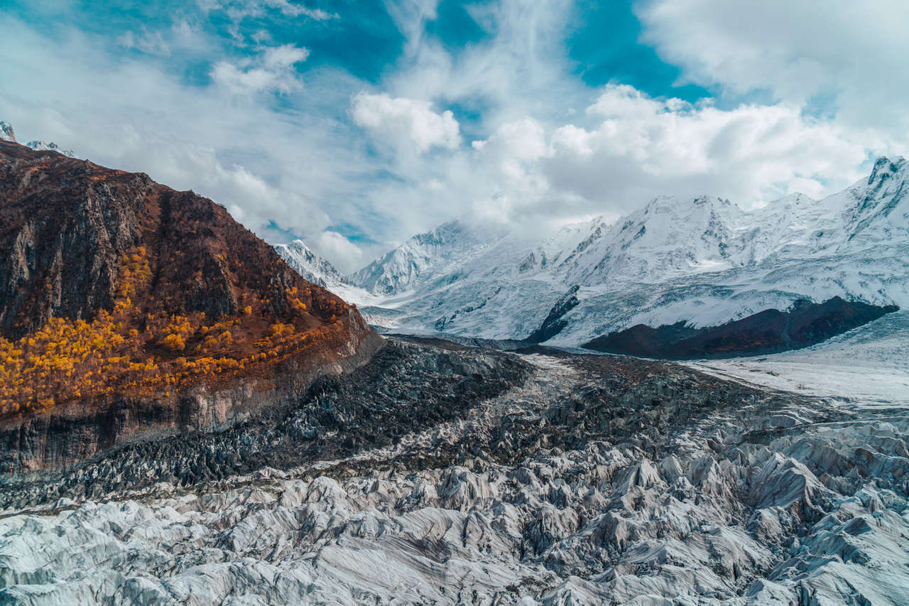
You will also be directly facing all the snowy peaks of the Rakaposhi mountain. It is quite a sight to behold.
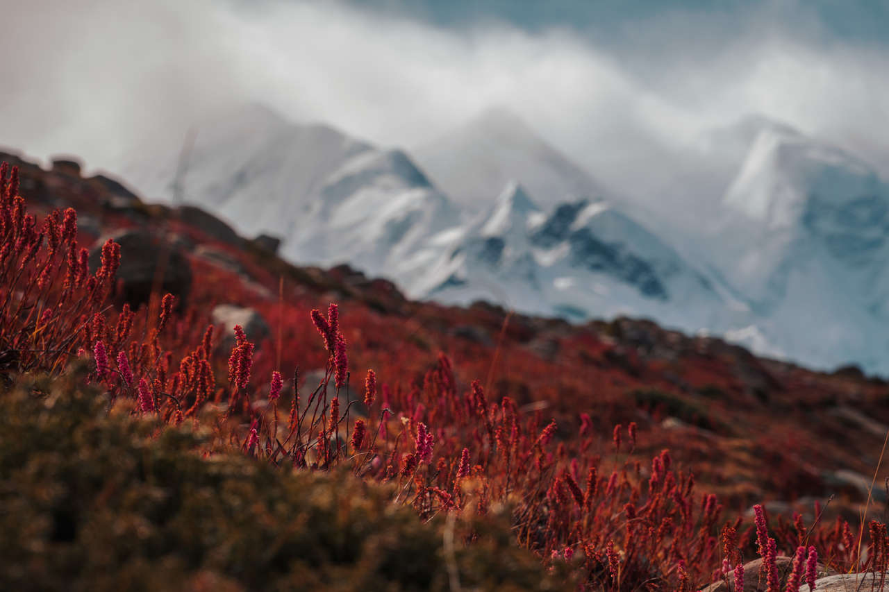
Start heading down by 2 PM, and it should take you around 2.5 hours to get back to Minapin. Enjoy a nice, warm shower and sleep in for the night.

Where to Stay in Minapin?
Day 9 - 10: Karimabad (2 nights)
- 📍 Stay: Hunza Boutique Hotel
- 🕐 Time: 2 nights
- 📖 Full Guide: 5 Awesome Things To Do In Karimabad
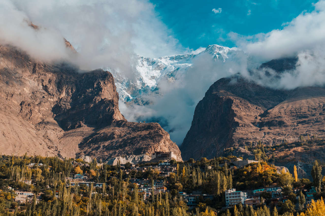
Karimabad is the Shangri-la everyone is looking for. In order to get here, you will have to walk from Minapin to the Karakoram Highway and flag a car that is going northward. Most people will be passing through Ali Abad, which is close to Karimabad, so you can take the car and from Ali Abad, you can either walk uphill to Karimabad or take a taxi up.
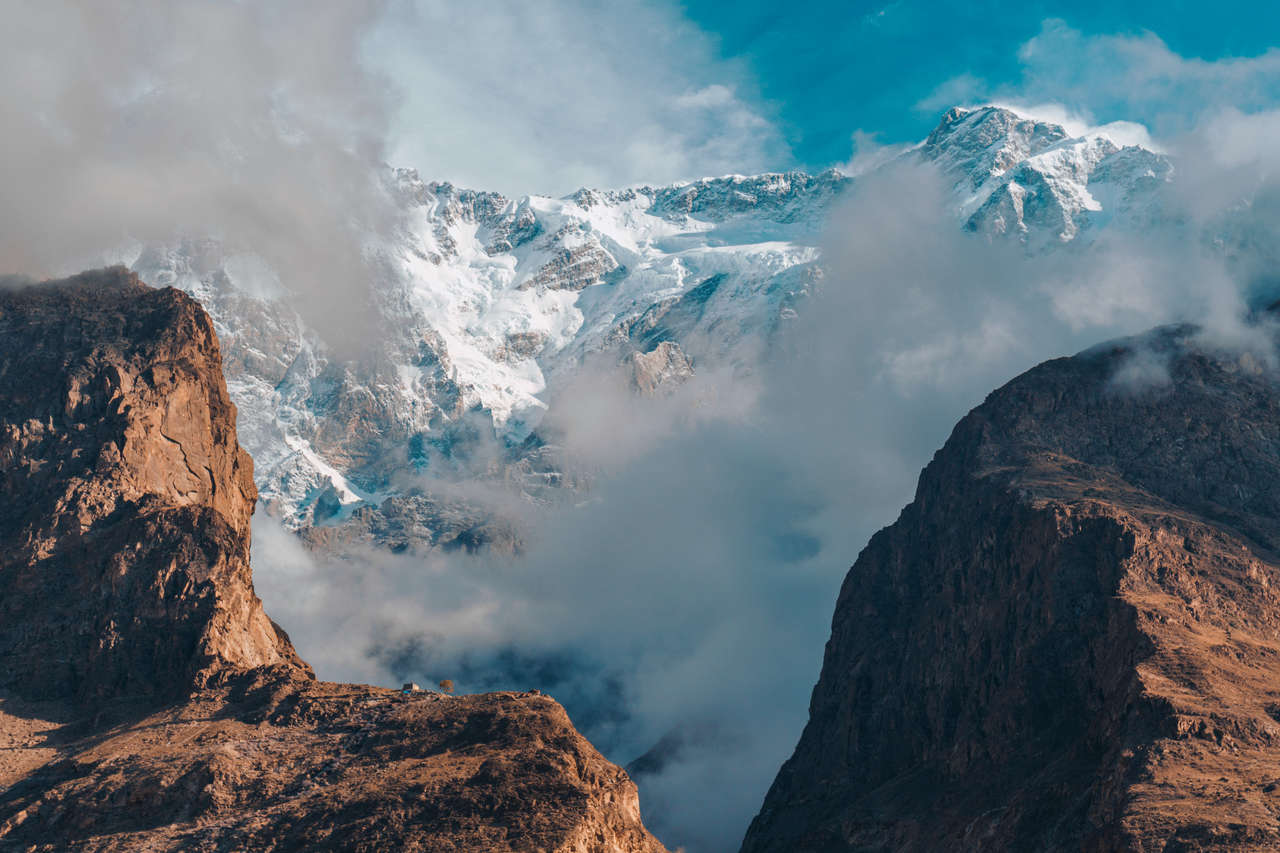
There are plenty of things to do in Karimabad, such as visiting the Baltit and Altit forts. If you still can't get enough of hiking in Pakistan, you can embark on a day hike up to the Ultar base camp.

Where to Stay in Karimabad?
Day 11: Passu (1 night)
- 📍 Stay: Gulmit Guest House
- 🕐 Time: 1 night
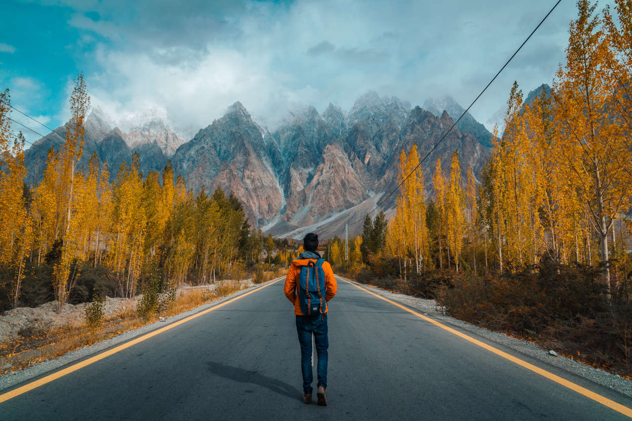
Only an hour's drive away, Passu is a great place for a short stop before heading to Sost, the last town before you reach China. You can easily hitchhike from Karimabad to Passu as Karimabad is near the Karakoram Highway.
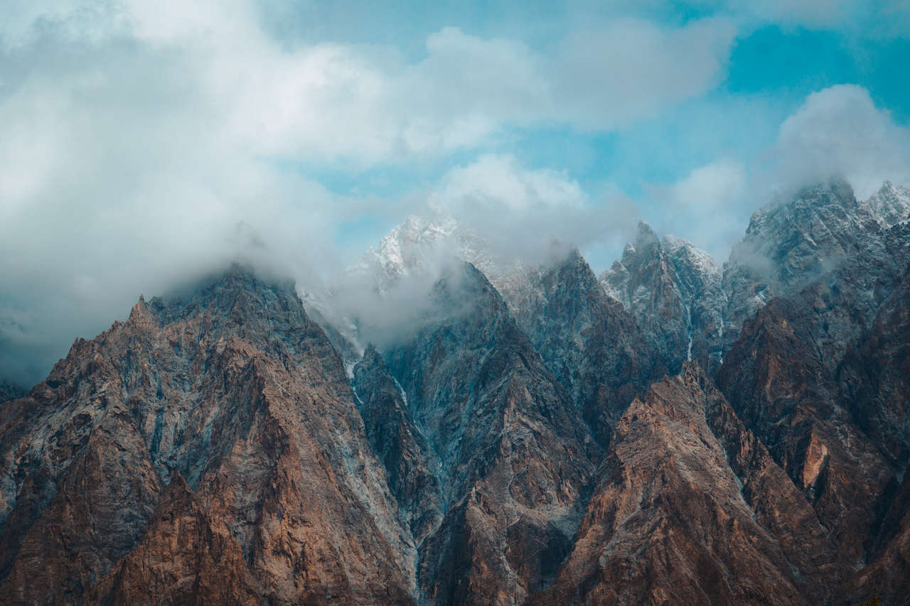
The highlight of Passu is the iconic jagged peaks of Passu peak. I have seen many photos of a road leading up to the Passu peaks so many times that it felt pretty surreal to see it with my own eyes.
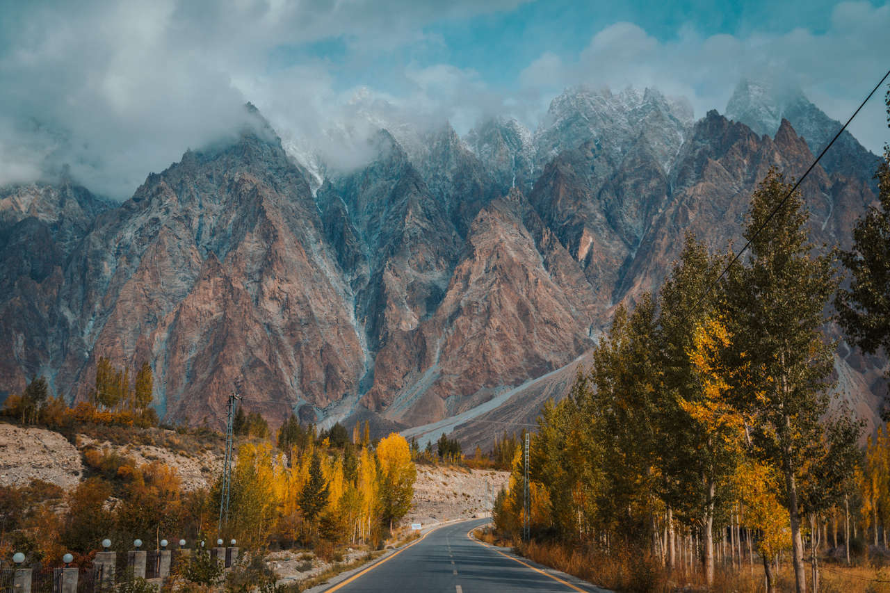
If you are staying at the Passu Tourist Lodge, you will have the best view of the Karakoram Highway with the peak in the background. If you have more time, make sure to check out Husseini bridge, Passu, and Batura glaciers as well.
Where to Stay in Passu?
Day 12 - 13: Sost & Khunjerab (2 nights)
- 📍 Stay: Tibet Motel
- 🕐 Time: 2 nights
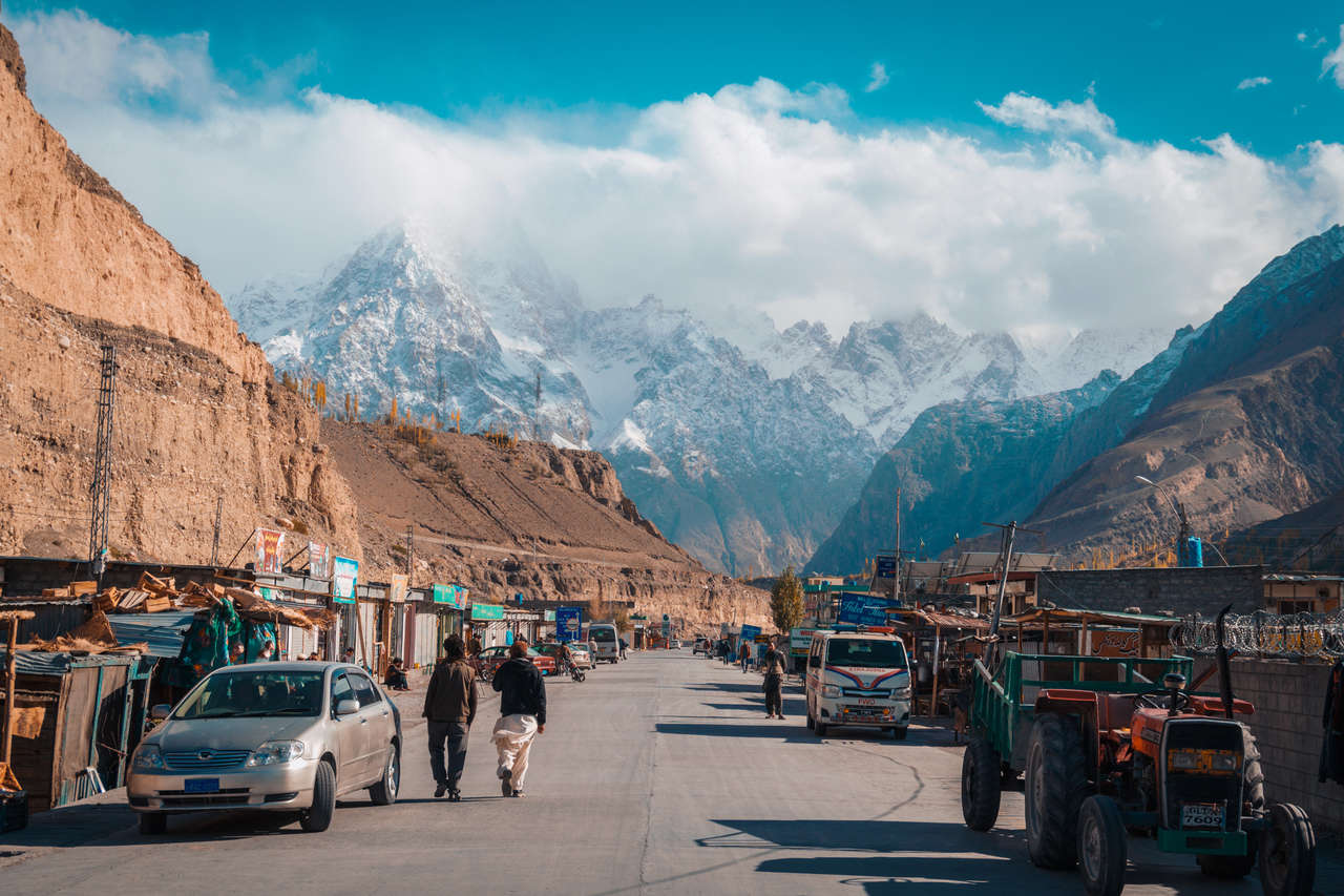
Last but not least, we have finally arrived at the frontier town of Sost, the final destination for this Pakistan Karakoram Highway trip. From Passu, you can easily hitchhike to Sost, as any car that is going that way will likely stop at Sost.
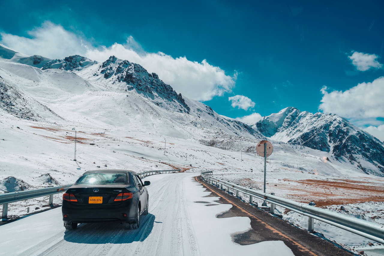
From Sost, arrange a car or jeep for the trip through Khunjerab National Park to Khunjerab Pass. When I visited, cars were around 3,000 PKR and jeeps around 7,000-8,000 PKR, but those are historical prices and are no longer useful as current quotes. Ask your hotel or drivers in Sost for the current round-trip rate before setting off, and also confirm road conditions, especially outside summer.
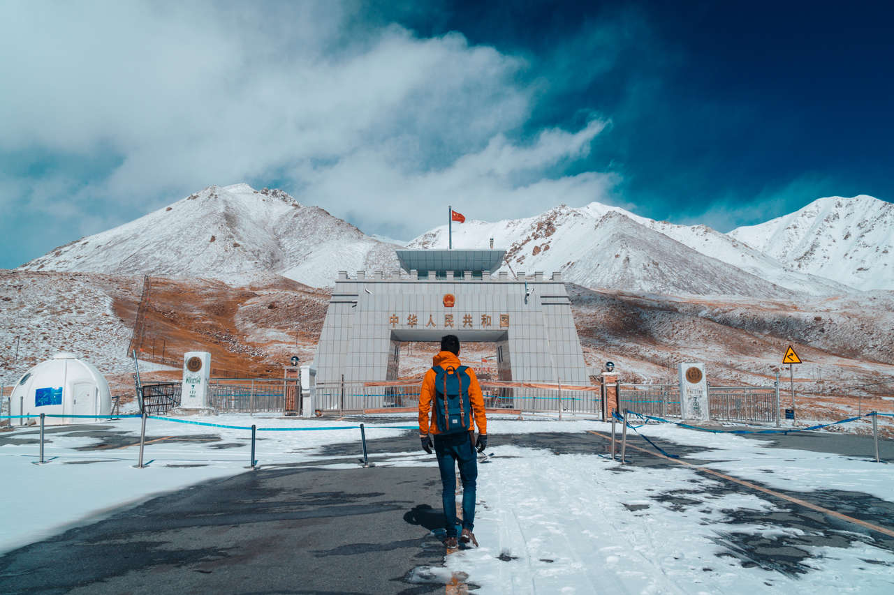
The Khunjerab Pass itself is nothing impressive, other than the fact that it is the highest border crossing in the world, with the highest ATM located there as well.
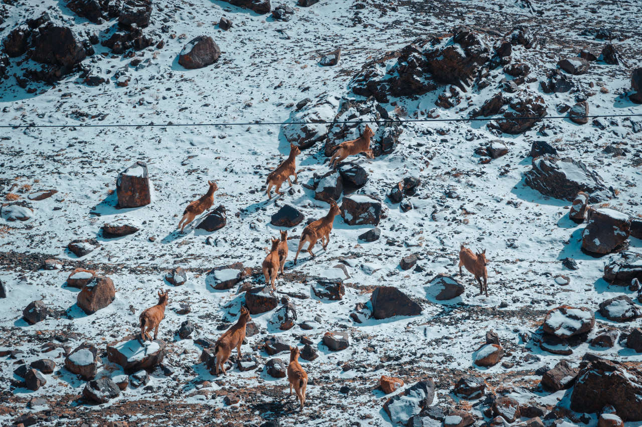
The highlight of this trip is the national park surrounding it, which is a great place to spot wild animals such as the Himalayan ibex, blue sheep, and, if you are lucky, Marco Polo sheep. We saw hundreds of ibex on our way to the pass.
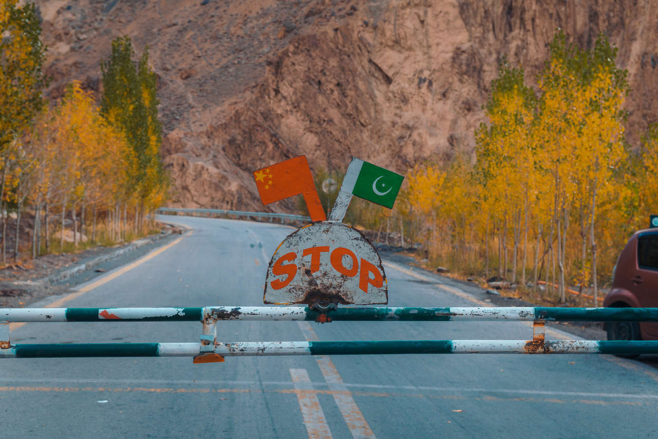
If you are planning to cross into China, make sure you have the appropriate Chinese visa and confirm the latest passenger immigration schedule before traveling. The Khunjerab border was changed from a seasonal crossing to a year-round port in December 2024, although severe snow and weather can still temporarily block the road. Weekend and immigration operating arrangements can also differ from ordinary sightseeing access, so verify the current crossing days before heading to Sost.
You can read more on how to cross to China via the Karakoram Highway from this guide by Against the Compass: Pakistan – China border crossing at Khunjerab Pass.
If you are not planning to cross the border, NATCO and local transport connect Sost with Gilgit. When I was there, I took the 5 AM bus and arrived in Gilgit around 9 AM. Be sure to confirm the current departure locally or with NATCO. From Gilgit, you can then fly back to Islamabad if the weather cooperates; mountain flights are weather-dependent, so leave some buffer before an international flight.
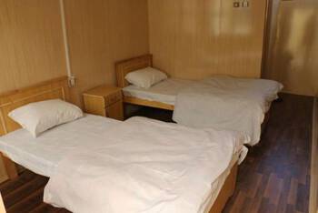
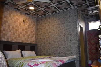
Where to Stay in Sost?

Islamabad (1 night)
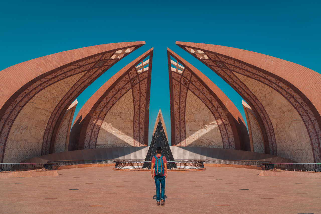
When you arrive back in Islamabad, spend a night there before flying home. I would keep this buffer especially if you fly down from Gilgit, since mountain flights can be delayed or canceled by weather.
Pakistan Travel Video
Why Travel to the Karakoram Highway?
The Karakoram Highway is one of the world's highest paved international roads, climbing to around 4,693 m at Khunjerab Pass on the Pakistan-China border. Along the route, you are constantly treated to views of enormous valleys and mountains, including Nanga Parbat and Rakaposhi.
You will also go through many villages with different ethnic groups and cultures, allowing you to see how diverse the people of Pakistan are.
If you are looking to go on a road trip to really off-the-beaten-path places, the Karakoram Highway should be at the top of your bucket list!
When to Travel to Karakoram Highway?
The Karakoram Highway is one of the highest paved international roads in the world, reaching around 4,693 m at Khunjerab Pass. The Pakistan-China port has officially operated year-round since December 2024, but winter snow can still temporarily close the high section and trekking areas such as Fairy Meadows are seasonal. For this particular itinerary, which includes Fairy Meadows and Rakaposhi Base Camp, I would still recommend May to October, with summer and early autumn offering the most practical conditions.
I was there in early October, and the weather was moderate during the day and a bit chilly at night, but the sky was clear 90% of the time. To avoid the crowds (local tourists), I would recommend visiting outside of the midsummer months of June to August.
Daily Budget


This location is less expensive than most countries, but it's not exceedingly cheap. Expect to spend around $30 - $50 USD per day per person, which includes both accommodation and meals.
Please keep in mind that these are suggested daily budgets based on my own style of travel, which leans more towards the budget side of things. If you aim to stick to this budget, anticipate sleeping in dormitories, dining out only occasionally, and being comfortable with the cheapest and most convenient modes of transportation, which often involve a considerable amount of walking.
Which tourist SIM card is best for The Karakoram Highway?
Mobile coverage along the Karakoram Highway is much better than it was when I traveled here, although you should still expect dead zones in remote valleys, trekking areas, and high mountain sections.
For Gilgit-Baltistan, SCOM, operated by the Special Communications Organization, has the broadest regional footprint, including coverage in many rural areas. Coverage is now 3G/4G in many populated places rather than the EDGE-only service I experienced, but signal quality still varies greatly once you leave towns.
When I visited, I relied heavily on accommodation Wi-Fi and places like Cafe de Hunza. Today, I would still download offline maps and anything important before heading into Fairy Meadows or onto the Rakaposhi Base Camp trail, where you should not depend on having a usable mobile signal.
Tips: To stay connected with people at home, be sure that you have a VPN, such as ProtonVPN, installed before traveling. It's FREE, and you can gain access to services that may be blocked in certain countries.
How to Get to the Karakoram Highway?
In reality, the Karakoram Highway begins from Hasan Abdal, which is a few kilometers away from Islamabad. However, most people start their journey from Islamabad and head northwards towards China.
For most international travelers, the easiest starting point is Islamabad International Airport, which is located west of Islamabad and Rawalpindi. From there, head into Islamabad/Rawalpindi before continuing north toward Gilgit-Baltistan.
From the US, you can fly on Middle Eastern airlines such as Etihad, Qatar, or Turkish Airlines. If you are coming from the east, Thai and Air China are also great options. I always look up prices on Expedia or Skyscanner and compare the best price and route combinations to find the right flight for me. Give them a go, and you might be able to find great deals on flights to Pakistan.
Transportation Along the Karakoram Highway
The main Karakoram Highway through Gilgit and Hunza is paved and can normally be traveled by regular cars, buses, and vans, unlike the much rougher Pamir Highway on the Tajikistan side. A 4WD is still required for side trips such as the Raikot Bridge-Tattu track to Fairy Meadows. Landslides, floods, rockfall, and snow can temporarily block sections of the KKH, so check the latest road conditions before any long travel day.

By Public Transportation
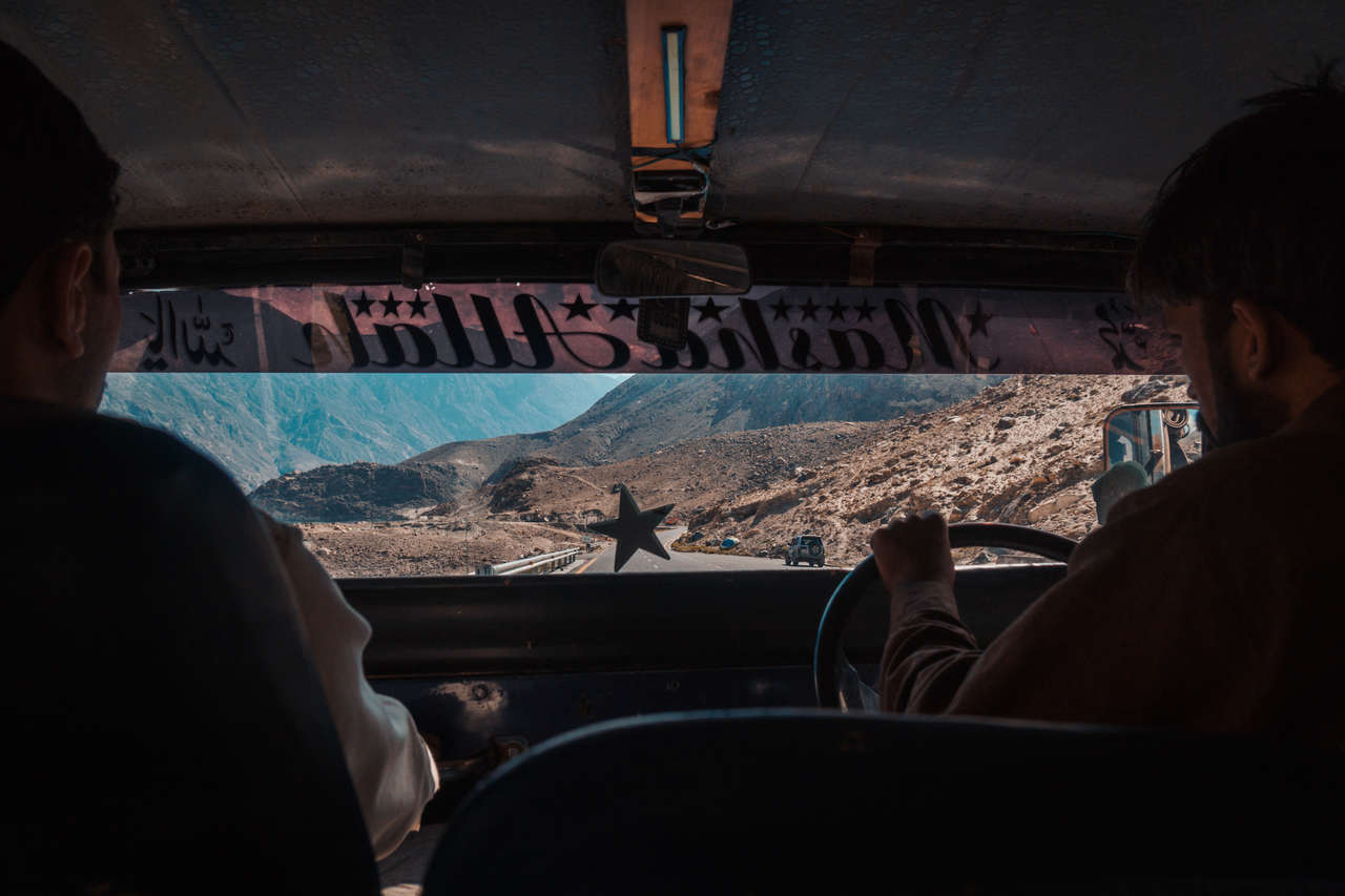
From Islamabad to Gilgit, NATCO is still a practical public-transport option. When I traveled here, foreign passengers went through several police checkpoints and there were additional travel restrictions around Chilas. Checkpoint procedures and local security arrangements can change, so carry your passport and several photocopies and follow any instructions from NATCO, police, or local authorities rather than relying on the old restrictions described in my original trip.
From Gilgit onward, shared vans, local buses, NATCO services on some routes, taxis, and private cars connect the towns along the KKH. Smaller local services may still operate informally or leave when full, so ask your accommodation or at the local transport stand for the next departure rather than expecting a fixed online timetable for every village.
When I traveled the KKH, I often hitchhiked between towns because it was easy and worked extremely well for me. It remains part of my firsthand experience, but I would treat it as an optional way to travel rather than the only reliable choice; public transport and taxis are better options if you prefer more certainty.
Traveling back from Sost, check the current NATCO/local departure for Gilgit before you leave. The old 5 AM Sost-Gilgit schedule in this guide should not be treated as current.
Hitchhiking
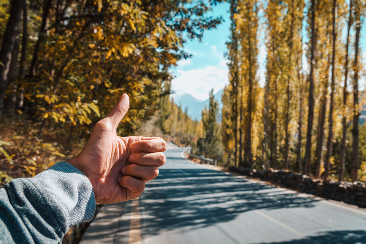
Hitchhiking was one of my favorite ways to travel the Karakoram Highway beyond Gilgit. On my trip, the road was busy enough that I rarely waited more than an hour for a ride, and many locals were incredibly generous about giving me a lift. Your experience can vary, though, so keep public transport or a taxi as a backup and use the same precautions you would when hitchhiking anywhere else.
One time, a guy, who is a manager of an energy company in Lahore, picked me up and took me all the way to Passu, even though he was supposed to go to Ghulkin. He even recommended me a place to stay for the best view of the Passu peak. Hitchhiking is almost too easy in Pakistan, but that just shows how friendly they are.
Taxis
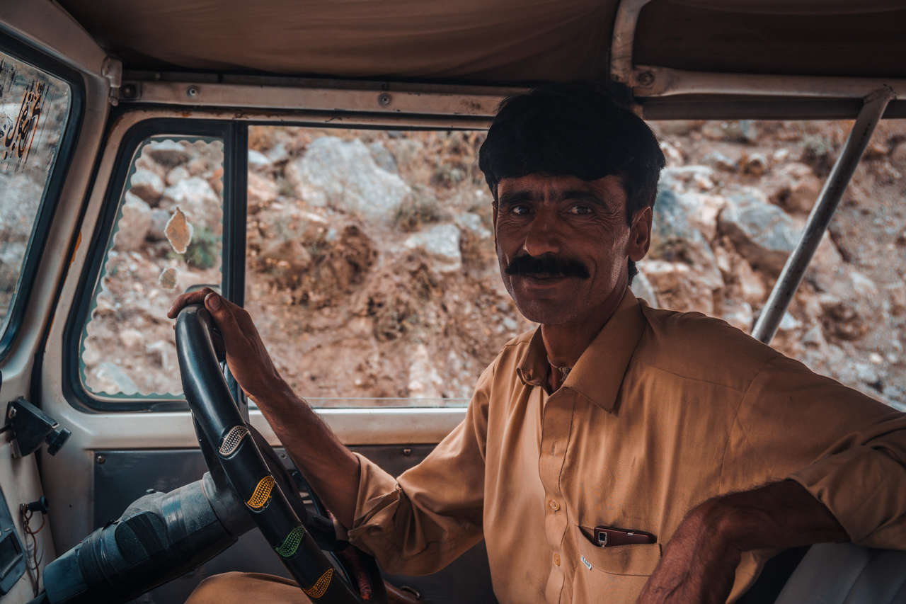
Another way to travel through the Karakoram Highway is via taxi. It is the most expensive option, but some parts of the Karakoram Highway require me to take a taxi.
From Sost to Khunjerab Pass, I rented a jeep for 8,000 PKR when I visited. Treat that as a record of what I paid rather than a current quote; ask locally for the latest round-trip price. The drive through Khunjerab National Park was one of the highlights for me: we spotted ibex and blue sheep, and my driver was happy to stop for photos.
For the rest of the highway, hitchhiking worked extremely well for me and kept my transport costs down, but shared vans, buses, and taxis are all alternatives if you prefer not to hitchhike.
Private Driver
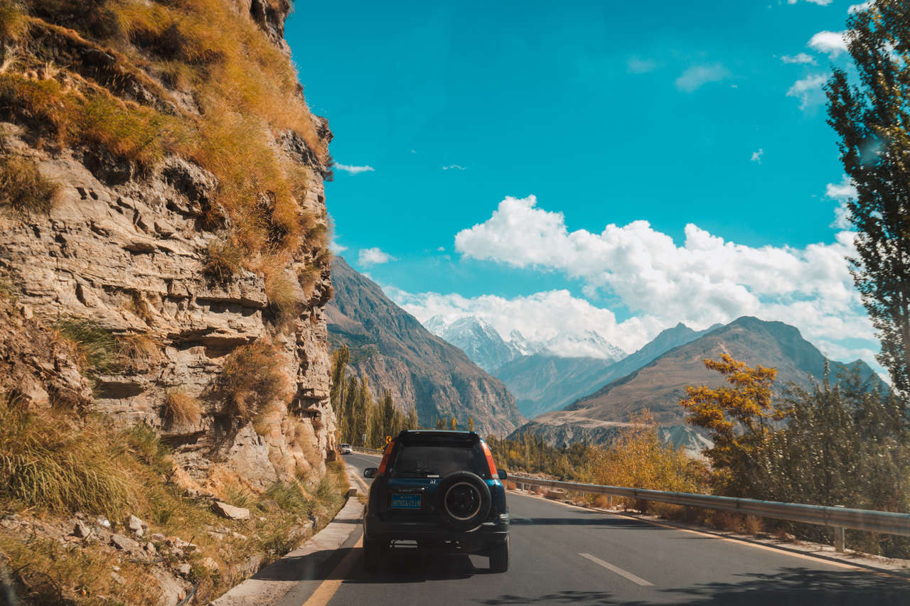
You can also hire a driver to drive you through the Karakoram Highway all the way to the end and back if you do not have a lot of time or if you don't feel comfortable hitchhiking or taking public transportation. However, it will be very expensive, almost like buying a tour package.
If you decide to go this route, I would recommend organizing it from Islamabad or Gilgit before travelling.
Disclaimer: This post may contain affiliate links. See our disclosure policy.
First Published:
Last updated:
14 Comments
Hey! I was reading your post on 2 weeks on Karakoram Highway. I was wondering if you had contacts in Pakistan that would be willing to drive tourists to visit the sites you listed in your post? I am a female traveller, and I would prefer a driver as opposed to hitchhiking or public transport.
Hey Sarah,
Thank you for the comment! I didn't rely on tours personally so I don't have a first-hand experience, that said, I have done some business with Lost Horizon Trek, and they organize all the documents for LOI for me. They also offer tours so it might be worthwhile looking up on the agency.
I hope this helps!
Oh my gosh, what an honour to receive a reply from the man himself! I will definitely check out Lost Horizon. Thank you SO MUCH! Such an inspiration.
Haha, no problem! I'm glad I could help :) Good luck with your Pakistan trip! It surely is a once in a lifetime experience!
Hi Pete, I’m in Pakistan at the moment and would like to get a flight up to Gilgit and exploring the hunza area Probably minus the mountain trekking as I don’t really have the time, do you think it will be safe travelling alone without at tour?
Hey Amanda,
Of course, people are quite friendly up there so you should not have any trouble. How are you planning on traveling? Hitchhiking or buses or both?
If you stick to traveling during the day and doing a short trip, hitchhiking maybe ok for you. Otherwise, vans and buses are ok too if you ask your hotel in gilgit for the schedule. Taxi is expensive but they are convenient and you can ask your hotel or a tour company to organize it for you.
I hope this helps!
Hello Pete!
Thank you for the article! I would like to ask you more for the weather. I am going there on my motorcycle also in early October. I am an little afraid of the snow on the road. Could you please tell me more details and conditions on the road, is it possible to reach Khunjerab Pass then? Ia there snow on the road then? I would be grateful for your response! Cheers.
There was a little bit of snow on the road towards Khunjerab Pass when I was there in October and the locals told me to get a 4WD although when we were there, we saw many people up there with a regular car and motorbike so, in mid October, I think it is still ok to get up there as long as the sun is out. I hope this helps!
Hello pete, read yours very informative article inspired much and hopefully reach the 8th wonder by next year.
A few problems,1.is hitchhiking is possible with 2 guys together?2.about hiking shoes, should they be non leaking?3.im from Sri Lanka(SAARC country), for visas do they require a letter of invitation?
Hey, Hitchhiking is possible but will take time, especially with 2 guys from my experience, so you should spare an entire day on your travel day if you plan to hitchhike because you might be standing by the roads for an hour or so before someone picks you up. They might also not take you directly so you might have to hitchhike a few times to get to your destination.
For hiking shoes, any hiking shoes should be fine.
For letter of invitation, i think you will still need one but i'm not 100% sure. It's best you ask the Pakistan embassy in your country for updated information.