



Fairy Meadows is one of the most popular and beautiful places to hike in Pakistan, and for good reason. With an unobstructed view of the 8,126 m Nanga Parbat, the ninth-highest mountain in the world and second-highest in Pakistan after K2, it is also one of the more accessible places to get an up-close view of an 8,000 m peak without doing a technical expedition.
This hike allows you to witness an 8,000 m high mountain without embarking on a multi-day trek. If you are traveling in Pakistan, a visit to Fairy Meadows is a must. However, like all things related to backpacking in Pakistan, updated information is not easy to come by. Therefore, I am here today with a complete guide on how to hike to Fairy Meadows and reach the Nanga Parbat base camp. Let's begin, shall we?

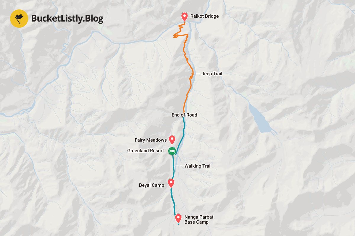
Fairy Meadows Hiking Map
Quick Summary
| 🌤️ Best time: | June - September |
| 🚘 Get around: | Hiking and Jeep |
| 🕓 Time to spend: | 2 - 3 nights |
| 🚶♂️ Difficulty: | Moderate; hard to base camp |
Hiking Itinerary for Fairy Meadows
Fairy Meadows to Beyal Camp (2 hours one way)
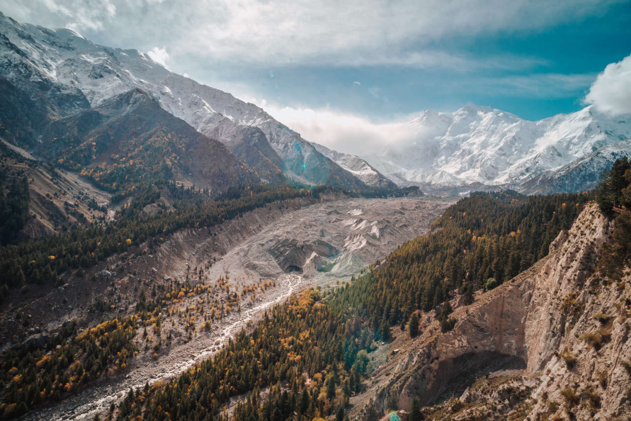
Length: 2 hours one way
Difficulty: Easy
Elevation: 3,500m
Our first trail begins with a well-leveled path through a thick forest out of Fairy Meadows and along the ridge, with a view of Nanga Parbat and Raikot glacier on your left.
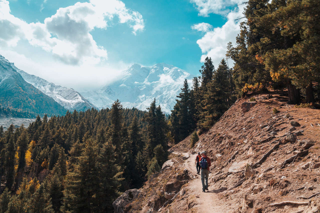
The trail continues on a flat landscape for about an hour through the forest, passing several streams until you reach an opening where you will see a village overshadowed by Nanga Parbat from a distance.
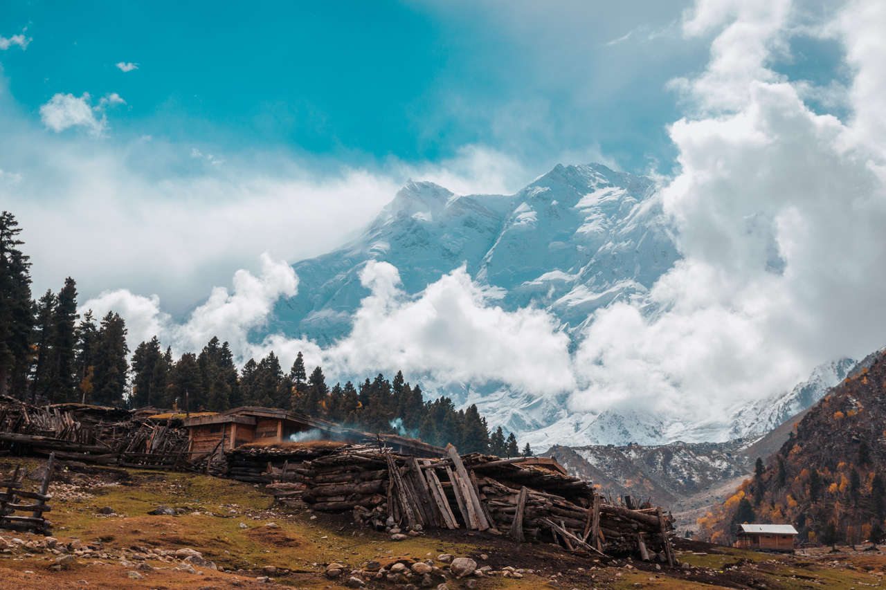
Congratulations, you have reached the Beyal camp. You can grab a cup of coffee or continue on for about 30 minutes further along the trail, and you will arrive at a viewpoint at 3,667m where you will be able to see the Raikot Glacier and Nanga Parbat up close.
- Green Land Hotel & Camping Resort (Budget)
- 3 Days Kashmir Neelam valley Tour (3 days)
- Private Tour in Kartarpur, Nankana Sahib & Sacha Sauda (12 to 14 hours)
- From Islamabad: Full Day Historical Peshawar Guided City Tour (8 to 10 hours)
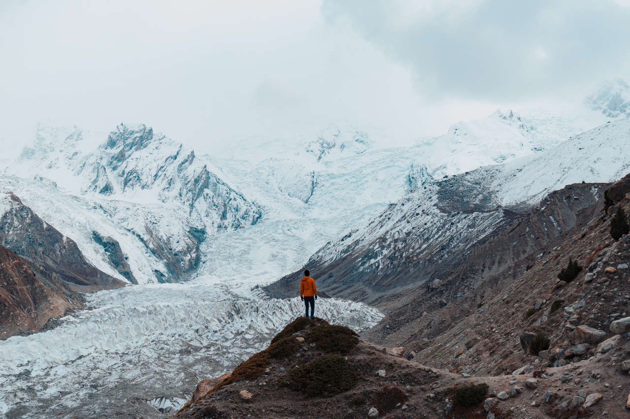
This part of the trail is just a simple stroll, so it is perfect for those who are not looking to hike a lot. However, if you want to hike further, you can continue on the trail to Nanga Parbat Base Camp.
Beyal Camp to Nanga Parbat Base Camp (3 hrs one way)
Length: 3 hours one way
Difficulty: Hard
Elevation: 3,967m
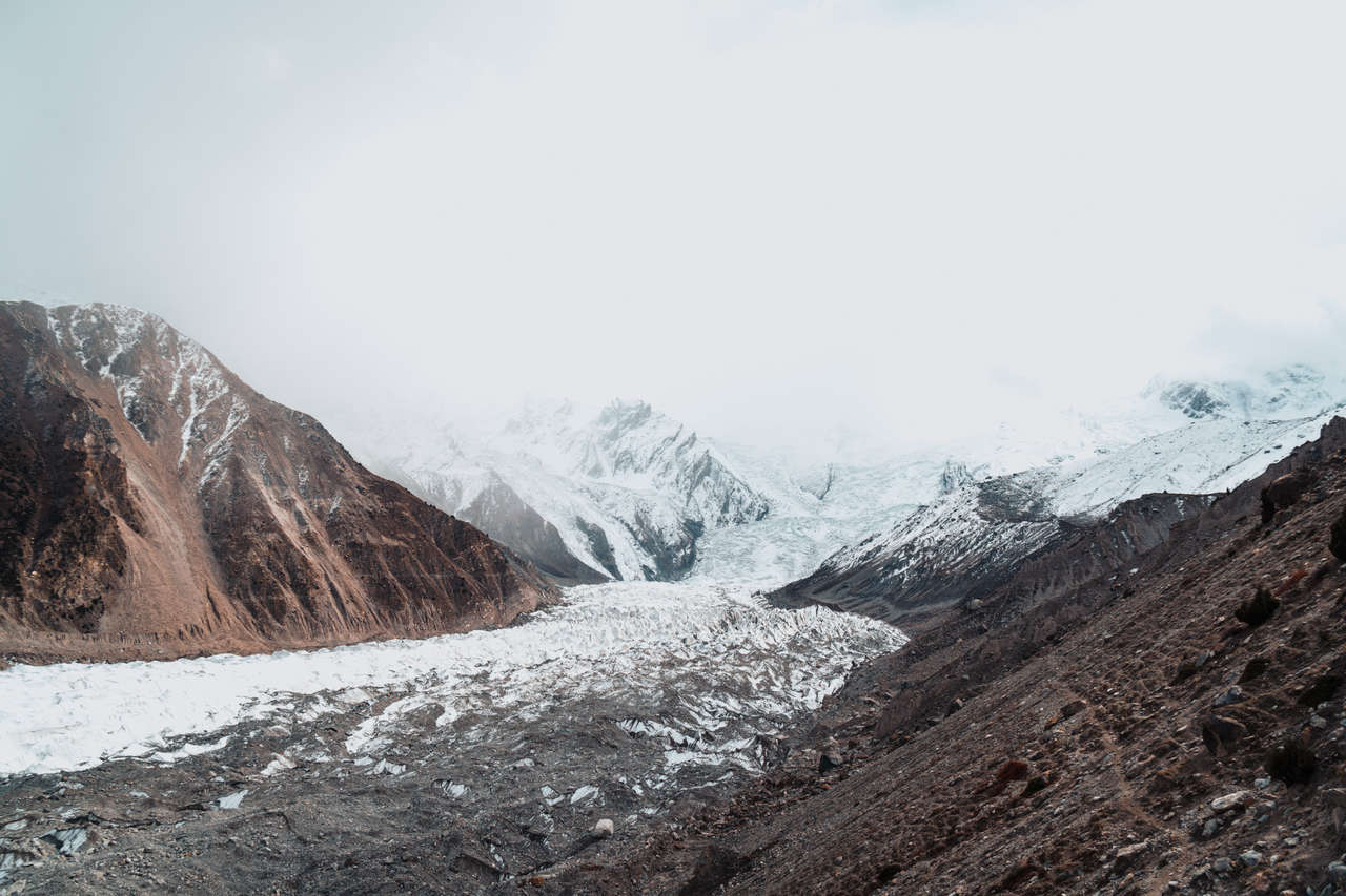
From the viewpoint beyond Beyal Camp, the route becomes steeper and rockier as it continues across glacial moraine beside the Raikot Glacier toward the Nanga Parbat base-camp area at roughly 3,900 m. The standard trekking route is non-technical and does not require you to cross the active glacier itself. Conditions on the moraine can change, though, so follow the established local route and turn back if snow, poor visibility, or unstable terrain makes the way unclear.
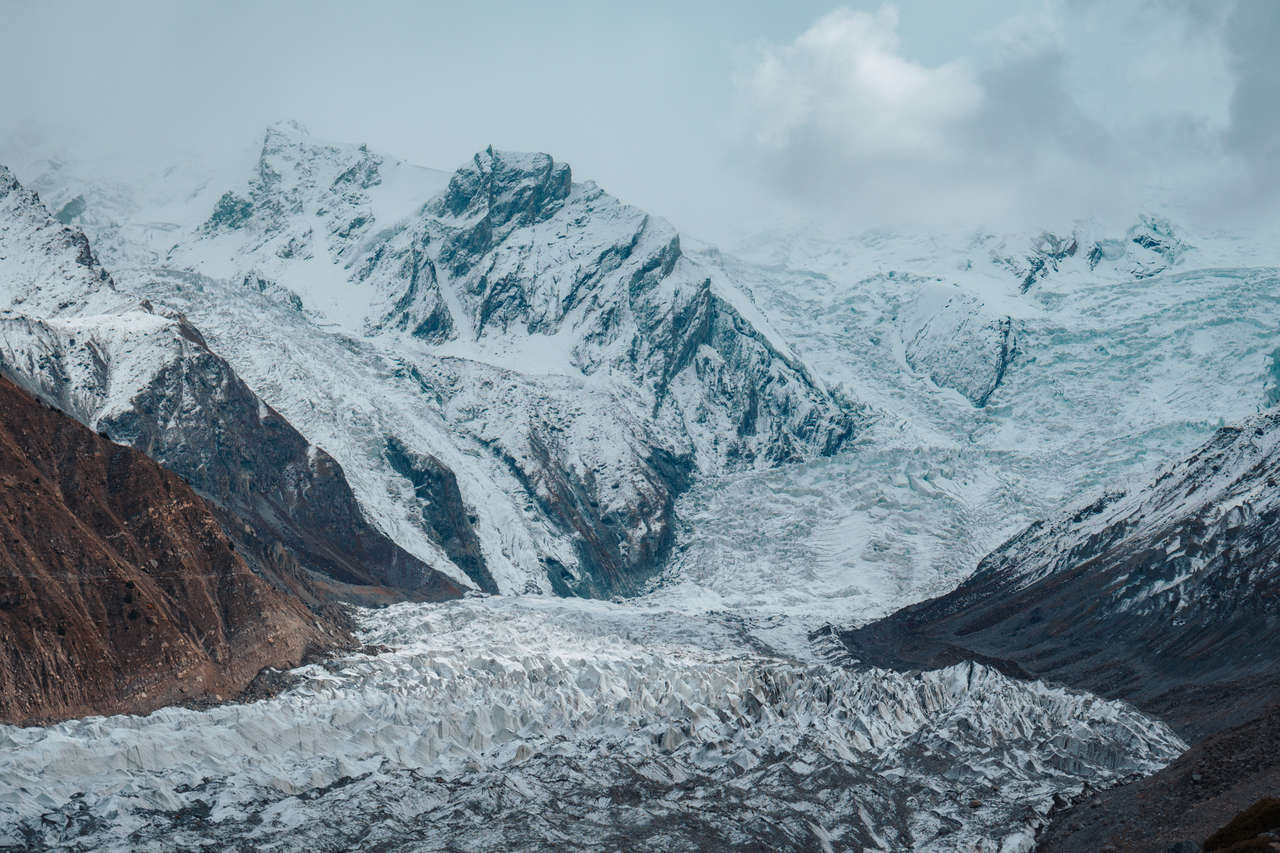
You will no longer feel like walking through a fairy-tale forest; instead, you will be surrounded by ice blocks and rocks.
Disclaimer: I tried to get to the base camp with a couple of people, but it was snowing heavily, and we had to turn back just after reaching the viewpoint. Maybe you will have better luck than I did.
Pakistan Travel Video
Where to Stay in Fairy Meadows?
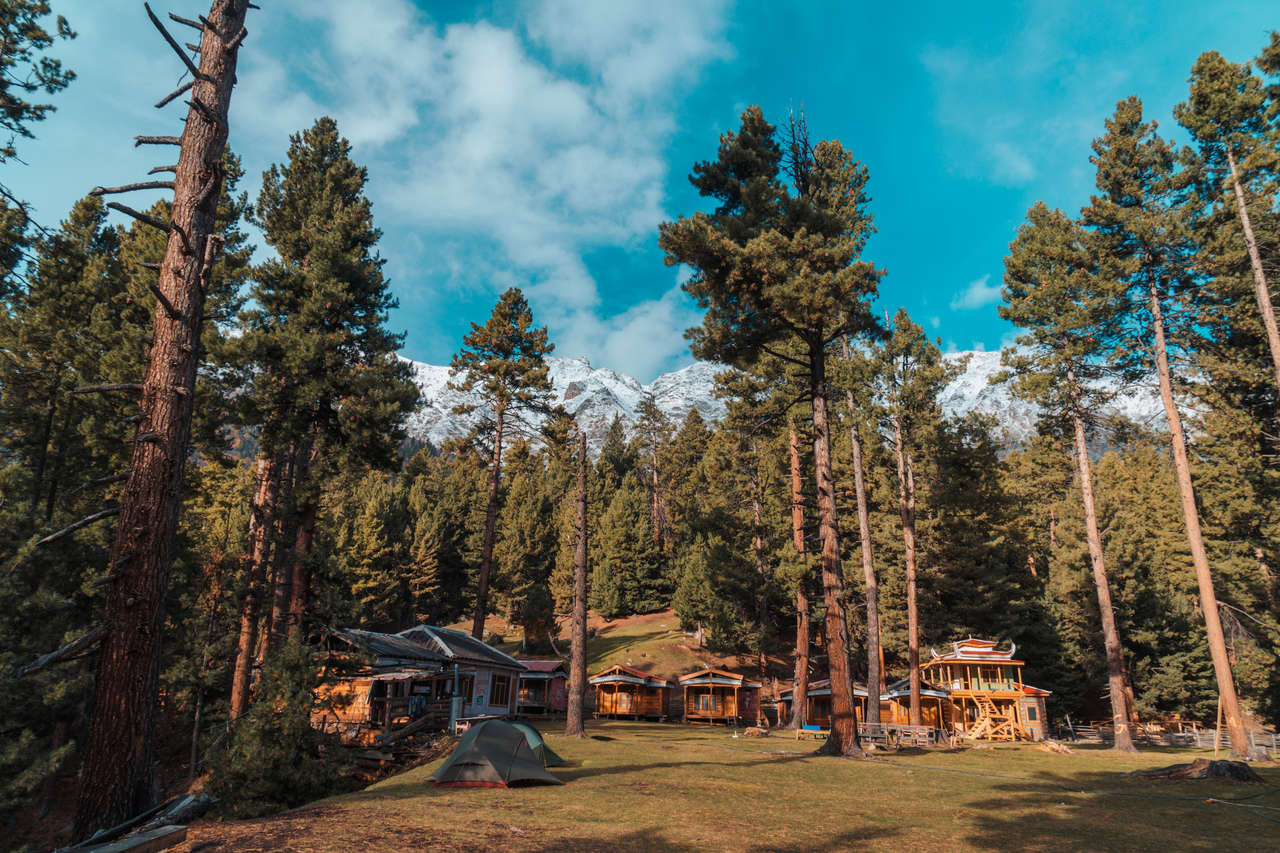
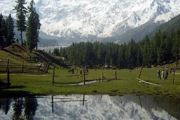
When I stayed at Greenland Resort, it had an incredible clear view over the glacier toward Nanga Parbat. The room was clean and well-built, and the owner helped me with bookings, transportation, and food while even letting my friends camp for free. When I visited in 2018, meals cost me around 150 - 500 PKR, so treat that as a record of what I paid rather than a current price.
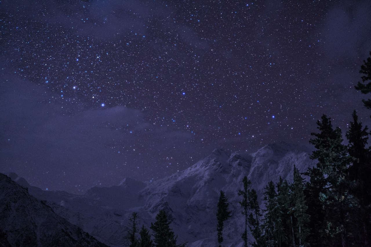
The view of Nanga Parbat at night from the Greenland Resort.
Keep in mind that the price of the accommodation changes depending on the season.
When to Go?
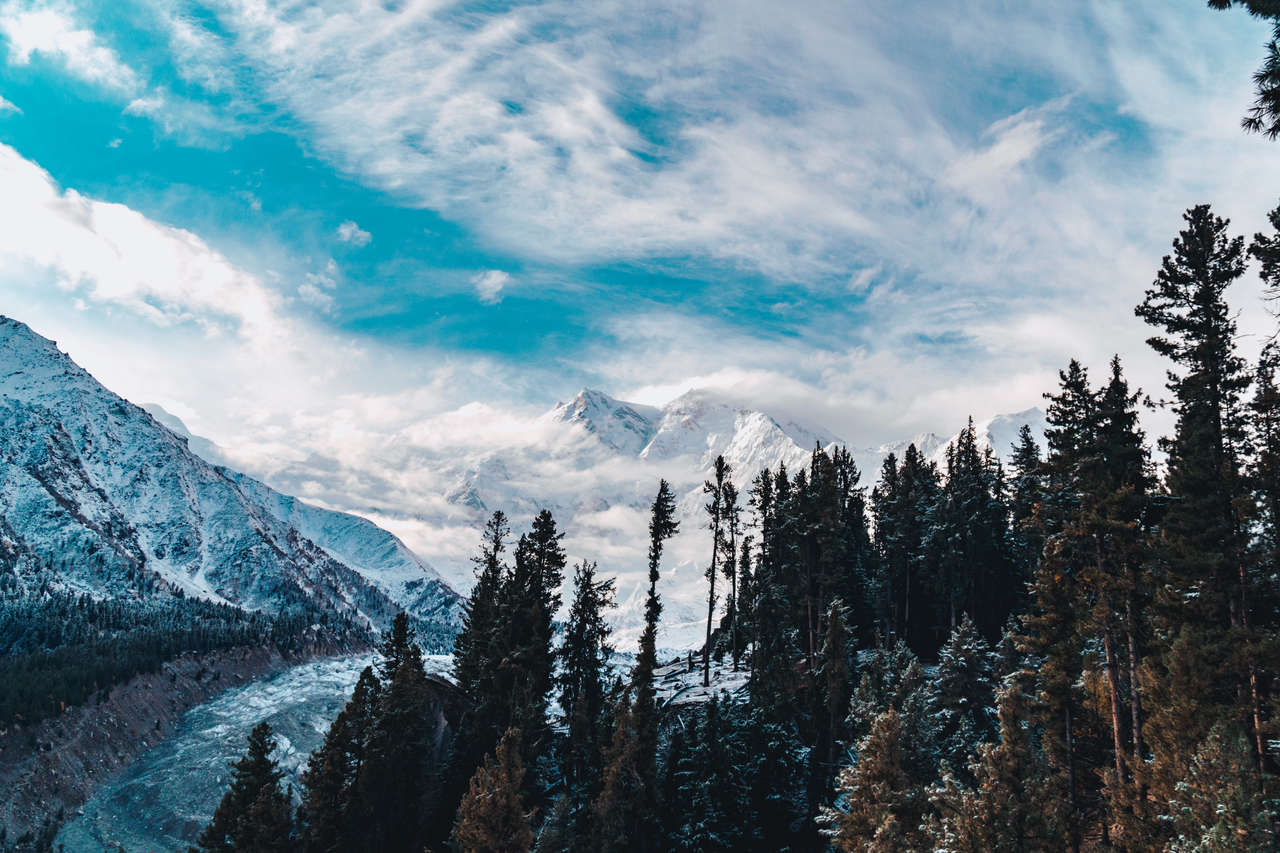
The most reliable time to hike Fairy Meadows is generally from June to September, when the jeep track and hiking trails are normally accessible and conditions are better for the Nanga Parbat Base Camp hike. Late May and early October can be quieter, but they are colder and snow can affect the upper trail or jeep-road access. July and August are warmer but also busier, especially on weekends and public holidays.
What to Pack for Hiking in Fairy Meadows?
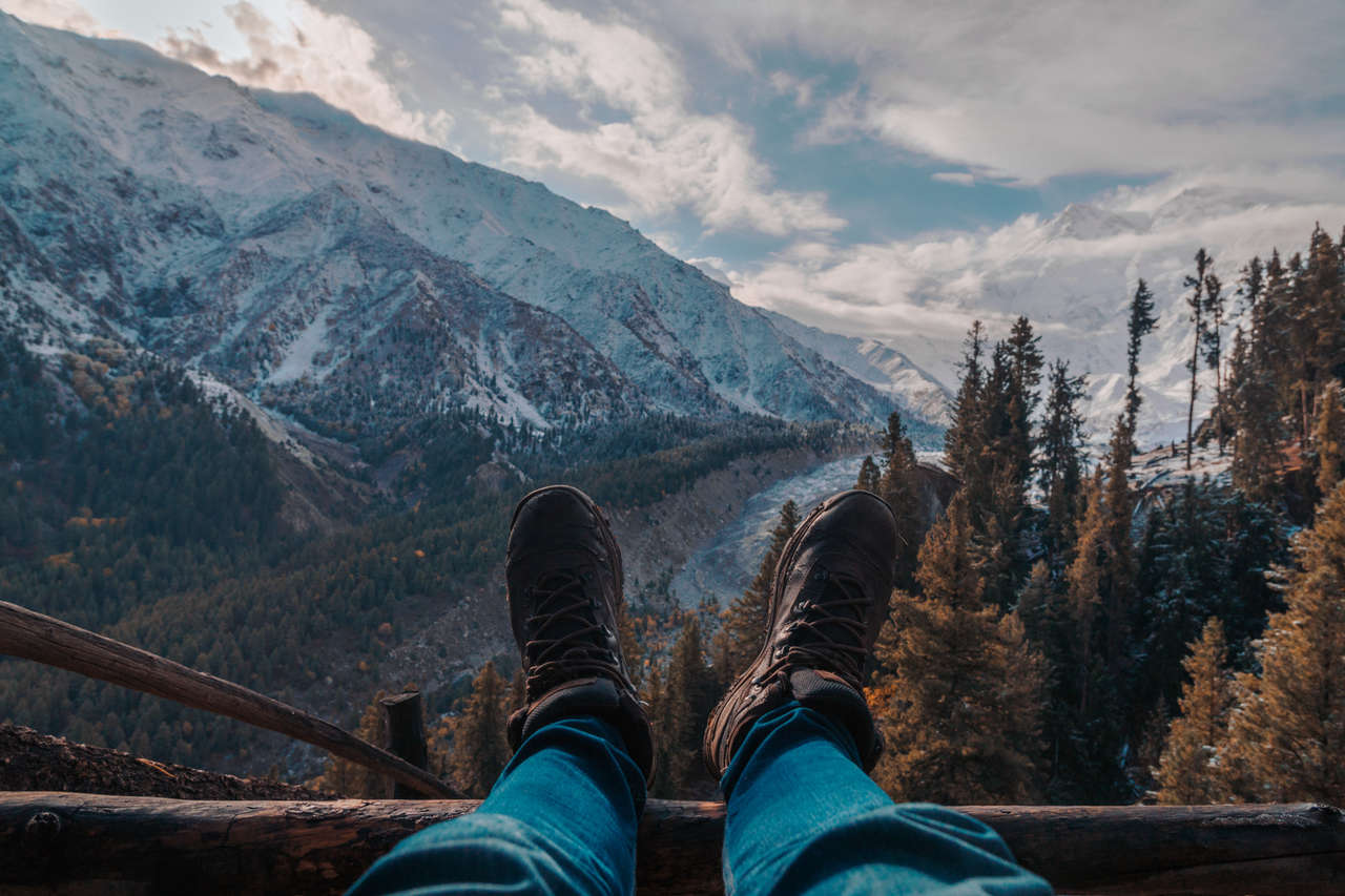
When it comes to hiking, great preparation goes a long way. Here are some things to prepare before you make the trip:
- Good Sturdy Shoes: The trails are pretty simple and well-leveled, with a few steep spots, so a regular shoe with good grip should be fine. Depending on when you are traveling to Fairy Meadows, you might have to walk on a snow-covered trail, so prepare accordingly. You are fine with normal shoes in early October. This Timberland Shoes are my go-to hiking boots in most situations.
- Weather-proof Jackets: Better safe than sorry. Like most mountains in this region, it can rain or snow and be extremely windy at any time, so it is always smart to be prepared for the worst weather. Here are jackets I recommend you get for the trip: fleece jacket and the beautiful orange Columbia outer-shell jacket.
- Get Maps.Me: Maps.me is the best app you can have on your phone, especially when hiking. The app is available on both Android and iOS. With its offline capabilities and comprehensive list of available hiking trails, you will never get lost here.
- Prepare Lunch, Snacks, and Water: Bring enough food for the day if you plan to hike all the way toward Nanga Parbat Base Camp. Food and bottled water are available at Fairy Meadows and seasonally around Beyal Camp, but prices and availability vary. Carry sufficient water and, if you refill from a natural stream, filter or treat it before drinking. I always carry my 2-liter hydration pack on hikes like this.
- A Daypack: You will need a daypack to carry all your gear with you when you are out and about. During this trip, I used the classic Herschel Supply's Little America Backpack to carry everything with me. It is light with good capacity and stylish as hell.
How to Get to Fairy Meadows?

There are several stages that you will have to go through before reaching Fairy Meadows.
First, you will have to get to Gilgit, the capital city of Gilgit-Baltistan province in the north of Pakistan. From there, get to the Raikot Bridge, and then you will have to rent a jeep to get to the trailhead. After that, you will have to hike up to Fairy Meadows.
Getting to Gilgit
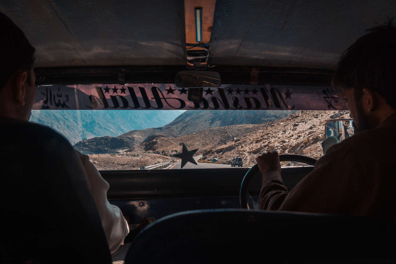
There are several ways you can get to Gilgit from Islamabad. The fastest is to fly to Gilgit, with domestic flights operating between Islamabad and Gilgit when weather permits. Mountain flights are particularly weather-dependent, so check the current schedule and leave some flexibility in your itinerary. You can compare fares through Expedia or Skyscanner.
You can also take a bus from Islamabad/Rawalpindi toward Gilgit. Current schedules, fares, and journey times vary with the operator, route, road conditions, and season, so check via NATCO website shortly before traveling. If your bus continues along the Karakoram Highway past Raikot Bridge, ask the operator in advance whether it can drop you there rather than continuing all the way to Gilgit.
If you would like to shed some weight off your backpack and leave some stuff before the hike, I would suggest you go directly to Gilgit, stay one night there, and leave your stuff at your guesthouse. I had no problem leaving half of my stuff at the Madina Hotel 2.
Getting to Raikot Bridge (1 hr by car)
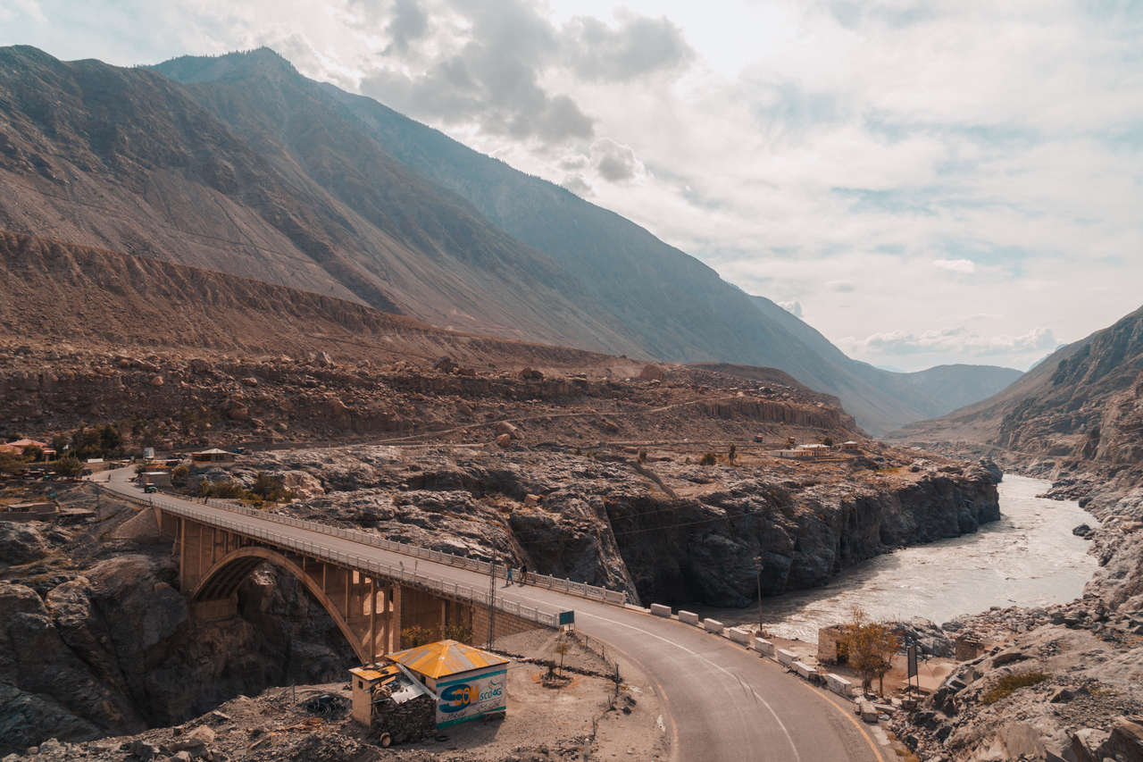
Raikot Bridge is located roughly 80 km south of Gilgit. Current Gilgit-Baltistan tourism information recommends allowing around 2 - 3 hours by road, although actual time depends on traffic and Karakoram Highway conditions. You can arrange a taxi/private car or check current southbound public transport toward Chilas and ask to be dropped at Raikot Bridge.
When I traveled here, I found arranging a direct ride much faster than waiting for public transport. It costed me 1,000 PKR for the taxi, although transport costs have changed considerably since my trip, so ask your accommodation or several local drivers for the current rate.
Getting to Fairy Meadows Trail Head (1.5 hrs by jeep)
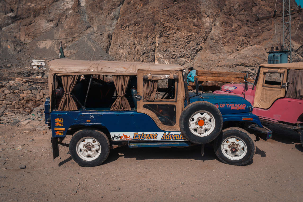
This is one of the more expensive parts of the trip for independent travelers. From Raikot Bridge, you have to use a local 4WD jeep for the steep road to Tato Village; private vehicles are not allowed on this section. In 2026, local sources report roughly 16,000 - 20,000 PKR per jeep for the round trip, usually shared among around 5 - 6 passengers. Rates can change with fuel prices and the season, so confirm the posted/current association rate at Raikot before paying. If you are traveling alone, arriving early gives you a better chance of finding other travelers to share the jeep.
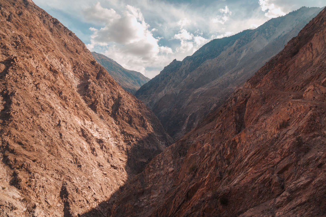
Once paid, the jeep will take you through one of the bumpiest roads you will ever experience in Pakistan. The roads zigzag their way up the rocky mountain for about 1.5 hours, and you will arrive at a village where the trailhead begins.
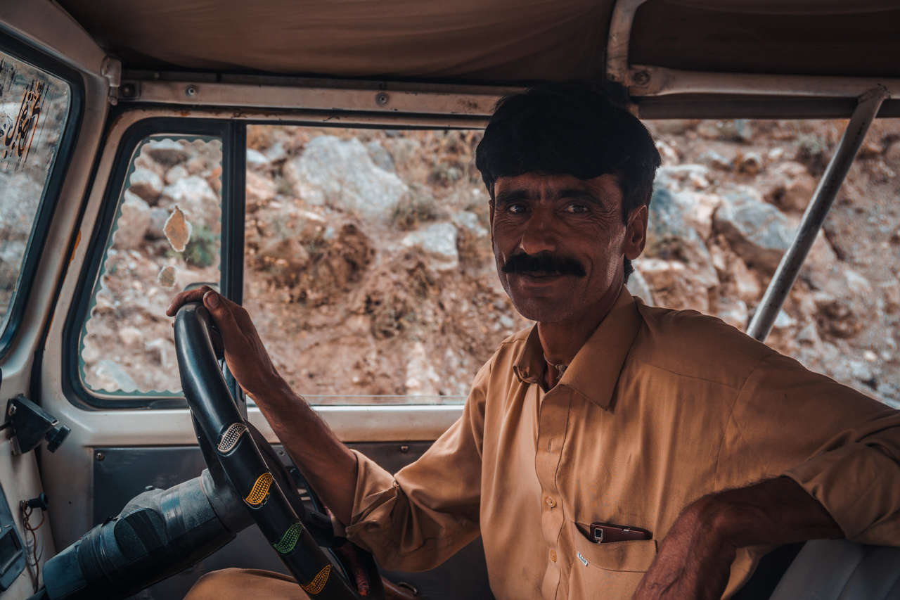
Just before you leave, your driver will ask you for the date of your return and the exact time you will arrive back. Make sure you give your driver the correct details and be sure to stick to them. This is essential for the driver as they will have to come back and pick you up. Also, remember your driver's face!
Getting to Fairy Meadows (2 hrs by walk)
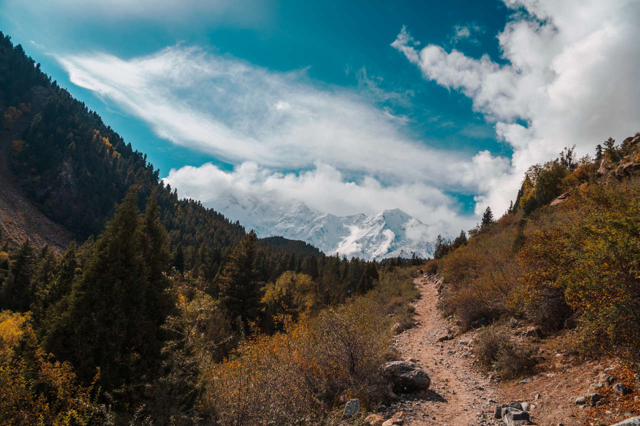
From the village, the trail gradually climbs for about 2 hours, and then it ascends steeply for about 30 minutes until you arrive at Fairy Meadows.
Disclaimer: This post may contain affiliate links. See our disclosure policy.
First Published:
Last updated:


32 Comments
So, Fairy Meadow- Beyal Camp- Nanga Parbat Base camp and back to Fairy Meadow all in one day??
Hey Ryan,
Yes, It is possible if you start early from Fairy Meadows. It will be a full-day hike (7 - 8 hrs). If you have time, you can stay at the Beyal camp one night or if you have your own tent and food, you can also stay at the base camp instead and walk down the next day.
I hope this helps!
Hey Pete,
Any big treks starting from Fairy Meadows ?
Hi Pete, is it possible to self-drive or riding motorcycle for foreigner from Islamabad to Gilgit and to Fairy Meadow?
Hey Wan,
From Islamabad to Gilgit yes but not many do it as you will be going through a lot of police checkpoints and you will have to register to all of them. Certain parts of the Karakoram Highway (Chillas) are not accessible by tourists at night. I was stopped and asked to sleep in a town nearby because I was a tourist and we were at the checkpoints at 11 PM. They asked us to wait till 5 AM.
Also, from Islamabad, some parts are still under renovation so it may take longer than it seems. There were some cyclists traveling through that road though, so it is definitely possible.
From Gilgit to Fairy Meadows, the terrain is really rugged and the road, super narrow so they required me to take a local Jeep but I'm sure you can ride on your own if your motorcycle is capable and the military doesn't stop you and force you to take the jeep. You won't be able to ride directly to Fairy Meadows, as you will have to hike for another 2 hours up to Fairy Meadows if you don't mind leaving your bike at the last village.
I hope this helps!
Hi Pete,
Very useful information. Thank you! Do you think it is possible to cycle to Fairy Meadows from the bridge? I mean to the end of the road and then leave the bike in Fairy Point. I will be cycling along Karakoram Highway and need to plan what to do with the bike while on the hike.
Hi Agnieszka,
I didn't see anyone doing it but I've heard some people did it, even walk up, not a lot though. It just gonna take you a long time as the road is very rugged (requires jeep to get up and takes 1.5 hr) and it's a lot of ups and nowhere to stop in between as the road is quite narrow.
Also, there might be police preventing you from doing that as well (this seems to change all the time so keep this in mind when attempting.). The road barely allows 2 jeeps to go through, very barely so you will have to be extra careful with the oncoming jeep around corners.
It's definitely easier to take the jeep and safer as well as the driver has been driving on that road for the longest time, and leave your bike either in Gilgit or at the bridge. It's a bit pricey though.
I hope this helps!
Hi Pete, just wondering if there are places we could stay at in the Nanga Parbat base camp? Or is fairy meadows the only place we can stay
Hi Cheryl,
When I was there in October there was none and most people do it as a day trip (a long one) from Fairy Meadows or have their own tent and food. I believe the locals advised against staying overnight there due to the 2014 incident and they might even issue you an escort when hiking up to the base camp (they didn't for us but we were just doing a day hike).
Beyal Camp on the other hand, is another great place to stay along the trail to the base camp with cottages and tea houses where you can stay in without having to camp yourself. It's nearer to Nanga Parbat and less crowded too.
I hope this helps! :)
Hi Pete,,,
Great write up and kudos to your patience in answering in detail all the questions, which actually add up the value. My question is, have you done mapped your hike from going to Fairy Meadows and onward to Bayal camp. I am looking to get the info on the elevation gain with the distance traveled.