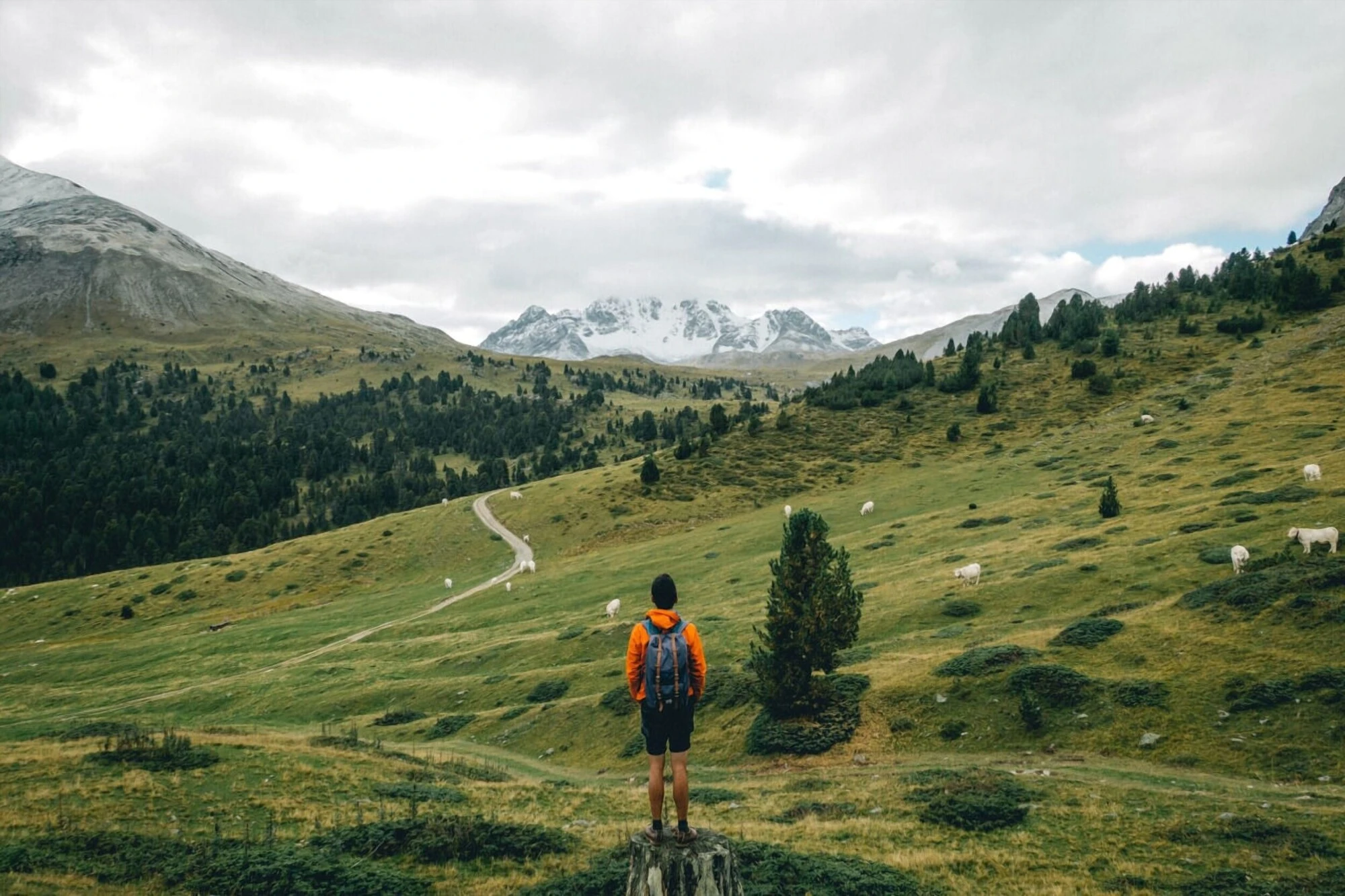


"Swiss National Park? Do we have a national park named after us?" was a response I often received when I told my Swiss friends about hiking in the Swiss National Park. The Swiss National Park is located within the Western Rhaetian Alps in the eastern part of Switzerland. Not many people know about this place, not even the locals, which is why I chose to visit it.
The Swiss National Park has everything the country has to offer but without any tourists. As part of my hiking trip in Switzerland, my friend and I hiked around the Swiss National Park for 3 days. During those 3 days, the national park gave us the impression that we may have stumbled upon a true hidden gem in Switzerland. The hikers you will meet here are the real deal... crazy and awesome. If you love hiking and nature, you should put this at the top of your itinerary when you are in Switzerland.

Quick Info
Quick Summary
| 🌤️ Best time: | July-September |
| 🚘 Get around: | Hiking |
| 🕓 Time to spend: | 2D1N |
| 🚶♂️ Difficulty: | Easy to Moderate |
Trails Overview
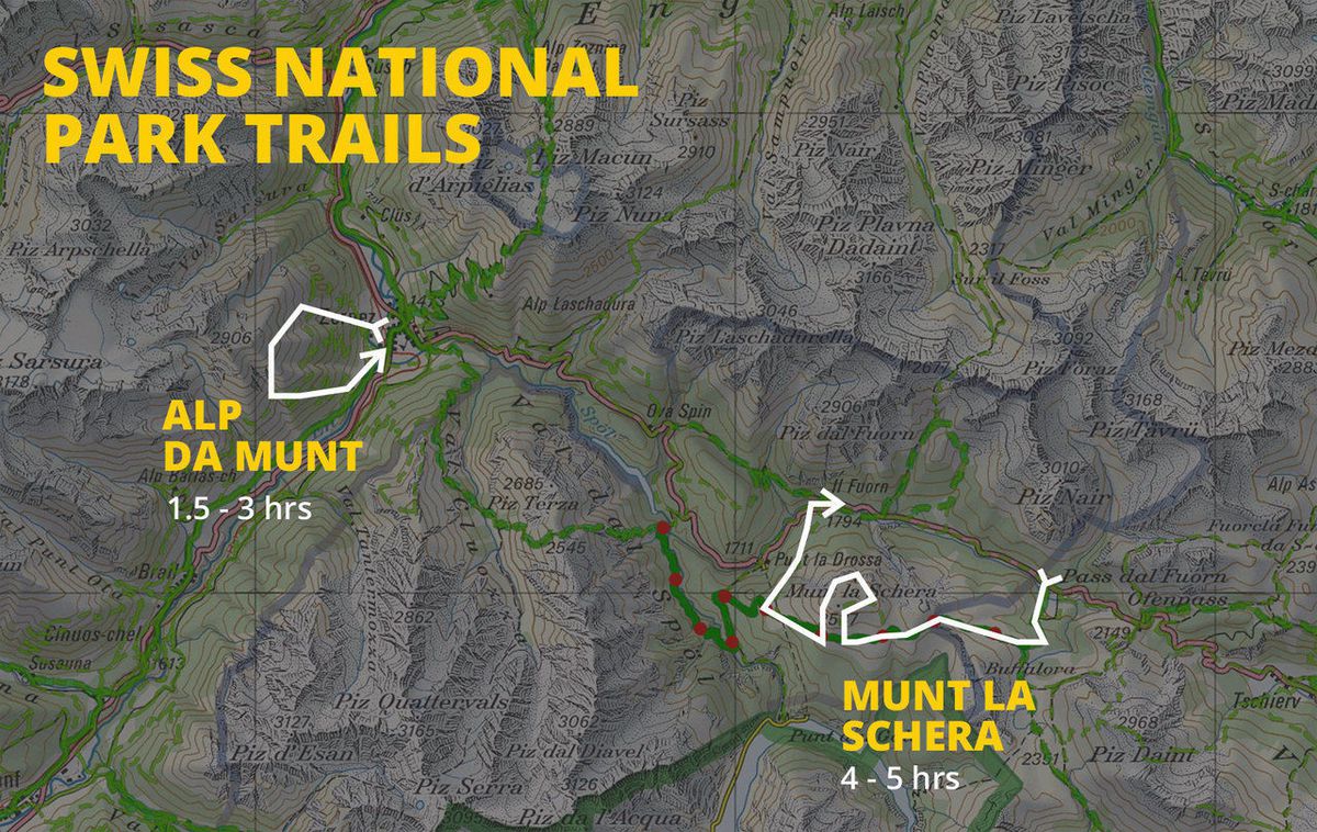
For this article, I will focus on the two hikes that I did during my trip: Alp da Munt near Zernez and Munt la Schera in the Swiss National Park. The map above gives you an overview of Zernez and the surrounding area, including the routes I followed.
Fun Trails to Hike in the Swiss National Park
Alp da Munt
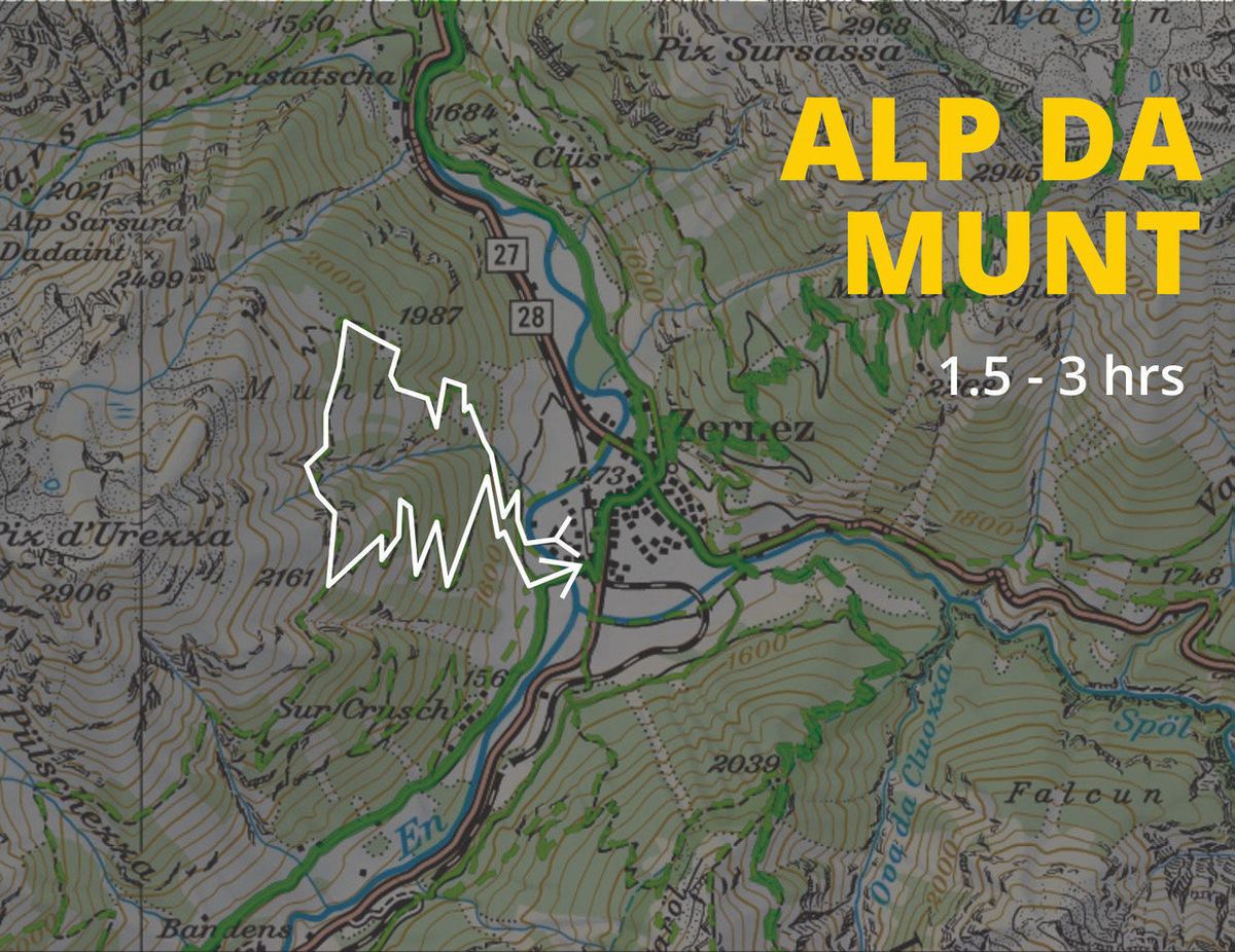
This is a small hike located right behind the campsite. The hike can be done in 2-3 hours with ease. I did this trail right after I arrived in Zernez on that same day. You can do this trail if you have at least 3-4 hours of daylight left that day.
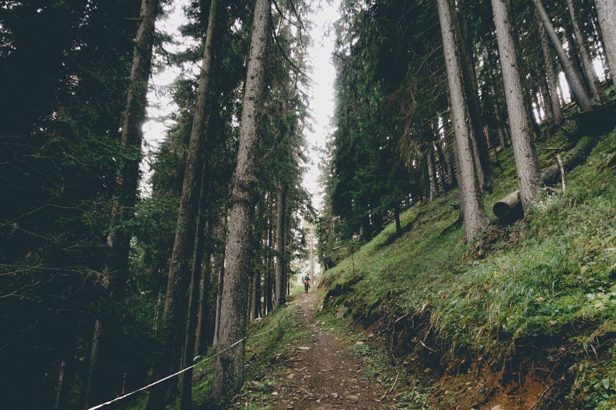
The trail begins from the plain behind the campsite. You can start the trail by exiting the campsite from the entrance, following the road until you reach the river. Cross it and walk toward the mountain.
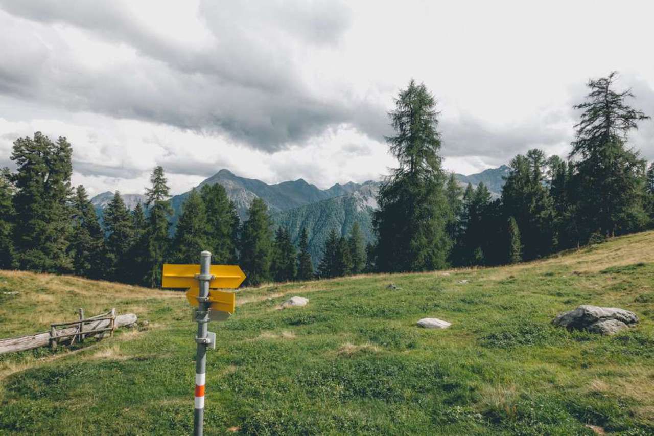
Right at the foot of the mountain, you will see a trail leading north along the side of the mountain. Follow that trail until you reach an opening. It should take around 45 minutes to get to the opening. You will know when you've reached this point when you see the yellow sign shown above.
- Filli Andris campsite (Budget)
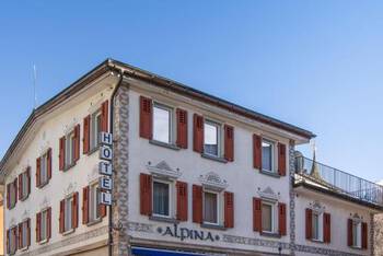
- Hotel Alpina (Mid-Range) 👍 Top Pick
- Hotel Crusch Alba Swiss Lodge Zernez (High-End)
- Swiss Alps Day Trip from Zurich: Jungfraujoch and Bernese Oberland (12 hours)
- Mount Titlis and Lucerne Day Tour from Zurich (9 hours 30 minutes)
- Tandem Paragliding Experience from Interlaken (1 hour 30 minutes)
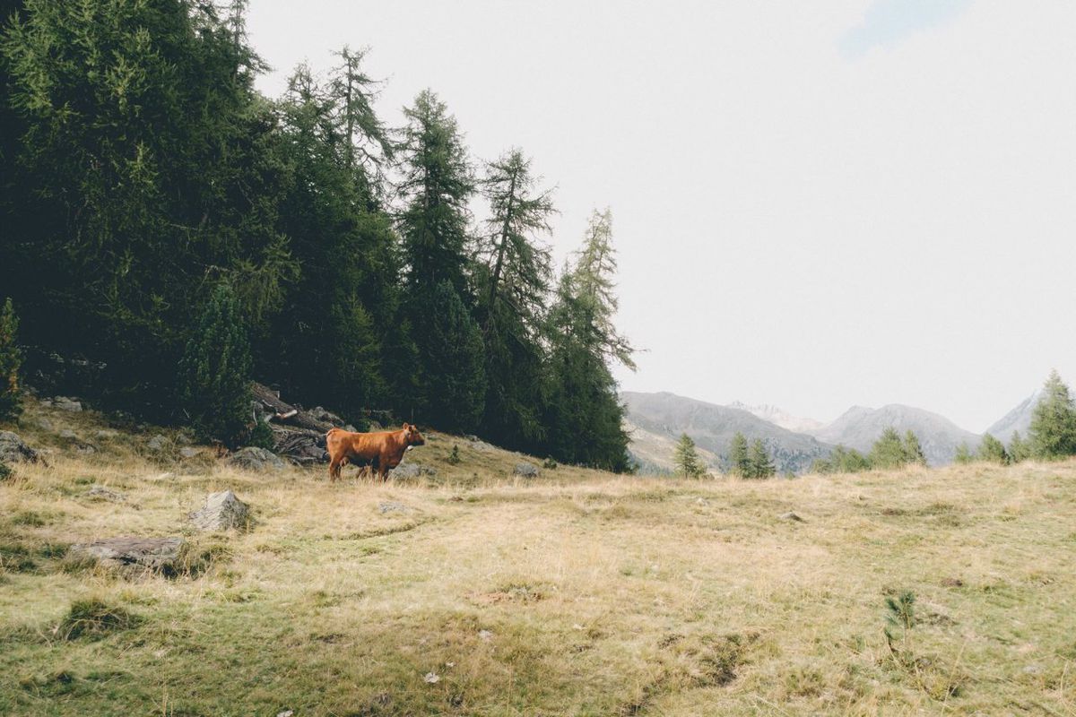
On top of that hill, you should see a farmhouse with plenty of sheep and cows, announcing their presence with bells around their necks. Rest there for a bit and head west toward the house, go through it, and follow the trail behind that house. You might have to climb a fence here.
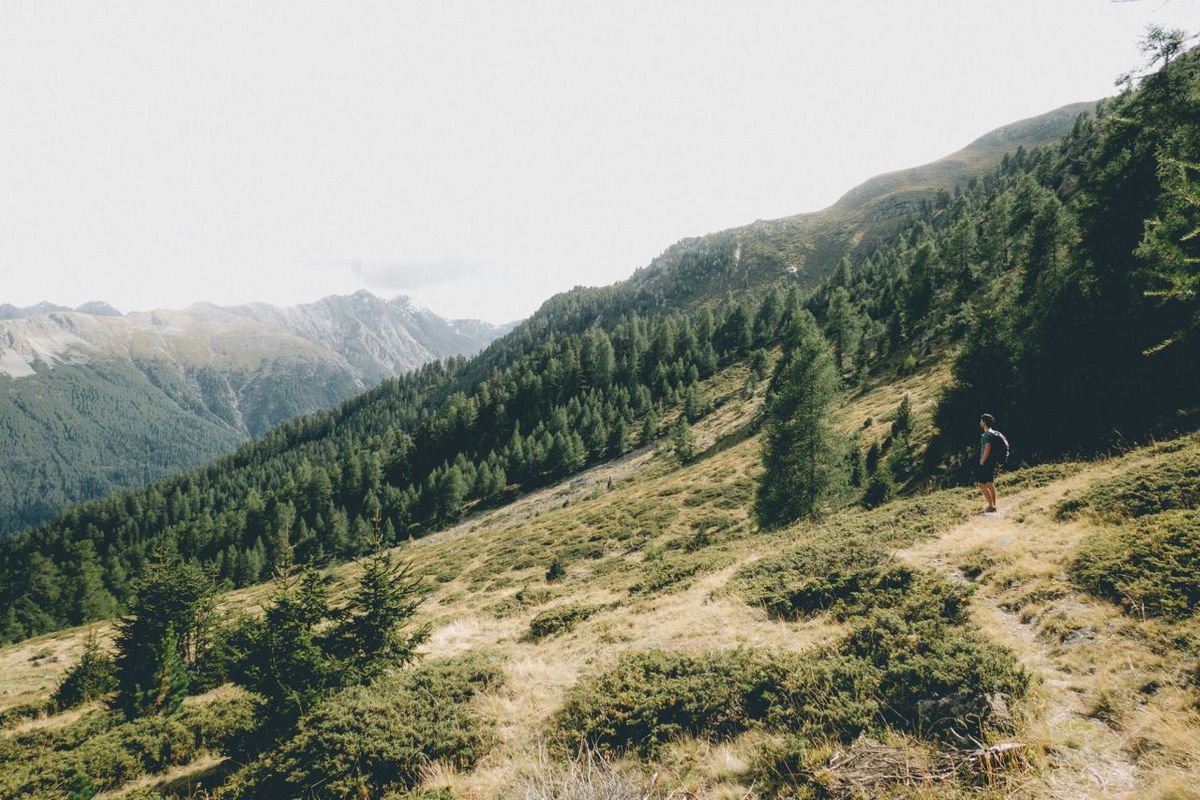
From here on, the trail should be straightforward. It will take you through many openings with beautiful scenery from the mountainside.
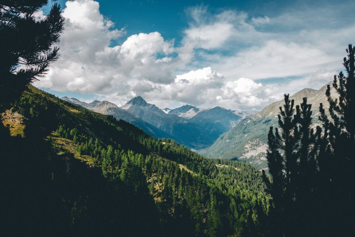
Once you reach an intersection with the option to go back to Zernez, follow it down until you are safely back in Zernez. This will conclude our hike for the day.
Munt la Schela
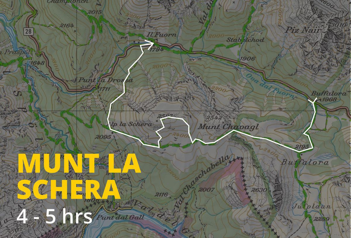
Current trail info: The official Buffalora–Munt la Schera–Il Fuorn route is about 13 km long and takes around 4 hours and 45 minutes, with approximately 750 m of ascent and 900 m of descent. The park lists the route for the June-to-October hiking season, although actual conditions can vary with weather and snow.
As the weather was pouring on us the day before, and we did absolutely nothing that day, we mutually decided and agreed to go deeper into the national park and summit something the next day. We ended up summitting Munt la Schela due to its close proximity to Zernez, but with enough elevation (2587m) to give us a great view of the whole area.
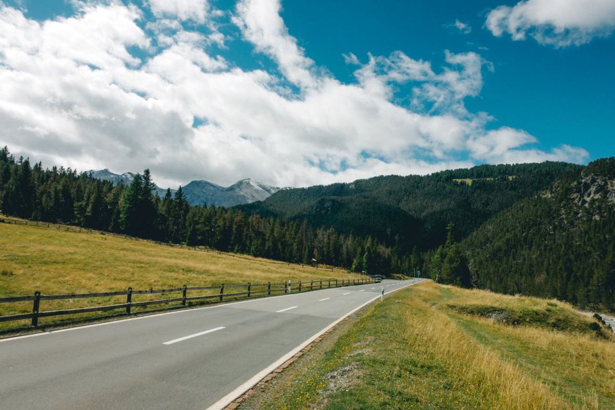
For this trail, take the PostBus from Zernez toward Müstair-Mals and get off at Buffalora (P10). When I did the hike, the ride took around 30 minutes, and the same route is still the standard public-transport access to the trail today. From Buffalora, follow the marked hiking route toward Munt la Schera. The full official route continues to Il Fuorn (P6), where you can catch the PostBus back to Zernez.
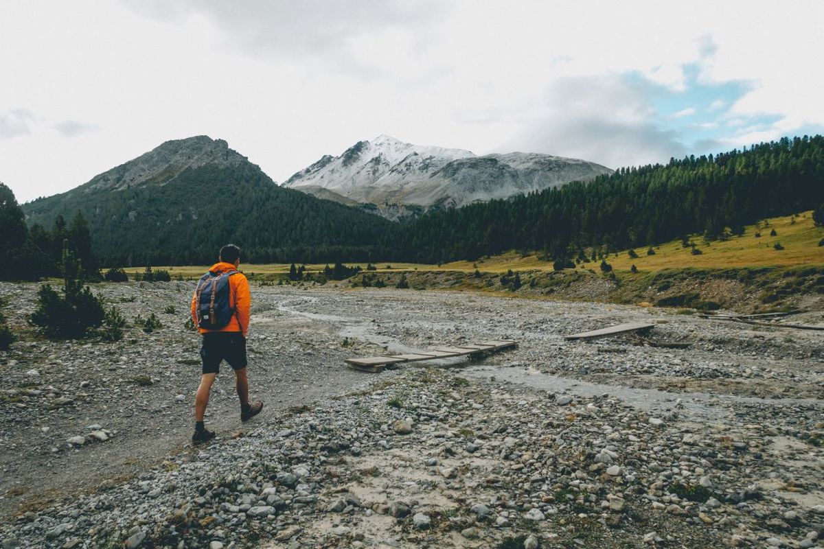
The trail starts off from what looks like a river bed, towards a hill, through people's farm, and a gradual climb around it. Along the way, you should see plenty of sheep and cows chomping away at the vegetation.
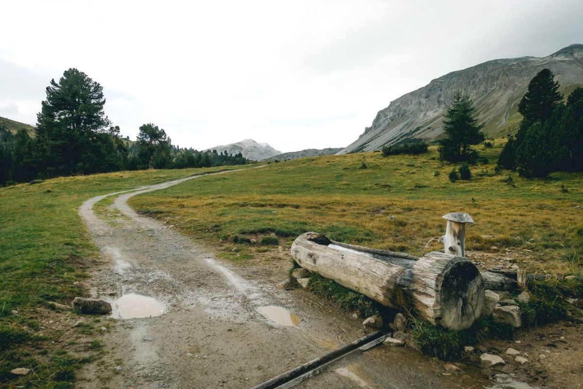
As you follow the path, you will see so many mountains that might make you wonder which one is Munt la Schela. None of them... not until you see a yellow sign directing you to the way up to the summit.
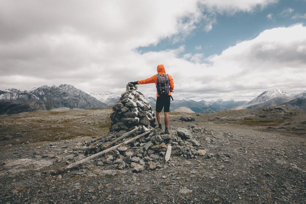
Once you see the sign to go to the summit, take it. The climb is rough, steep, and long, and as you go higher and higher, it will get colder and colder. Once on top of the summit, the wind can be unbearably strong. Thankfully, there are plenty of big rocks up there so you can use them as shelter.
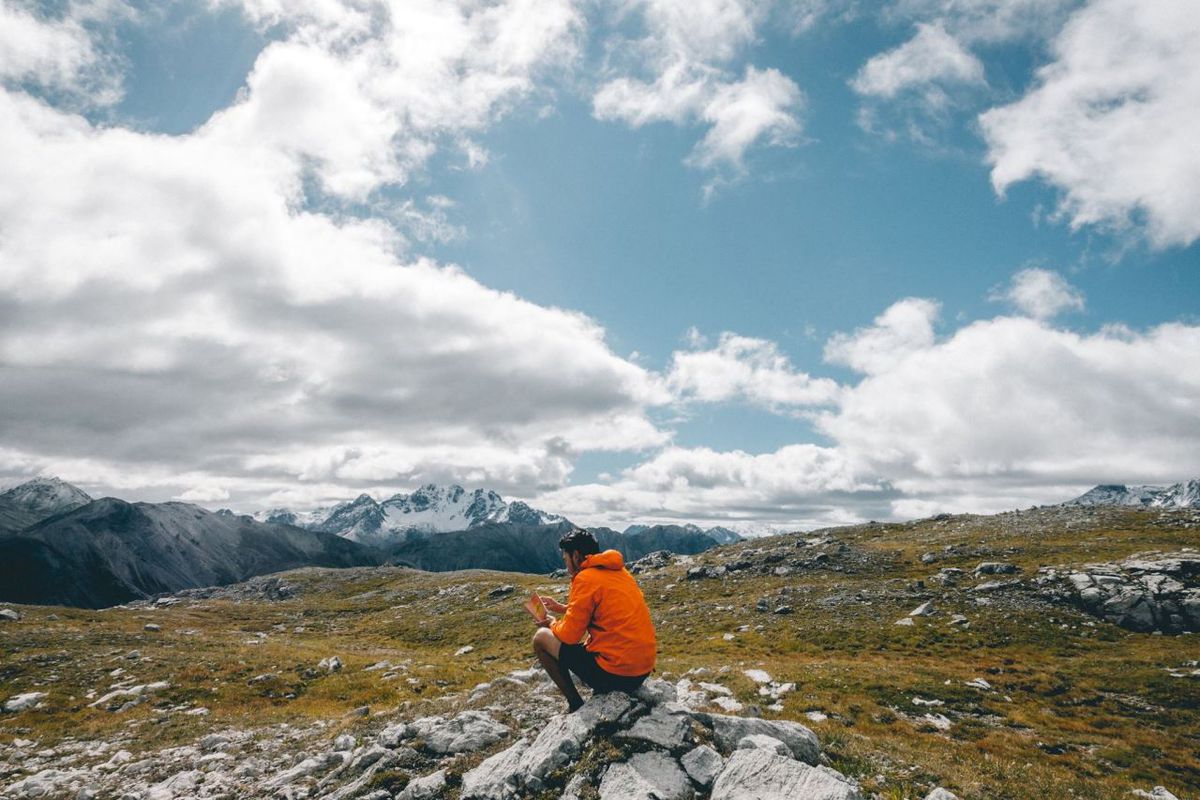
Walk around the summit for a bit before heading down so that you can see the national park in its full glory. Trust me, no matter which direction you set your eyes upon, you will be amazed by it. Expect to see a lot of beautiful valleys with gorgeous blue rivers surrounded by snowy mountains when you are up there.
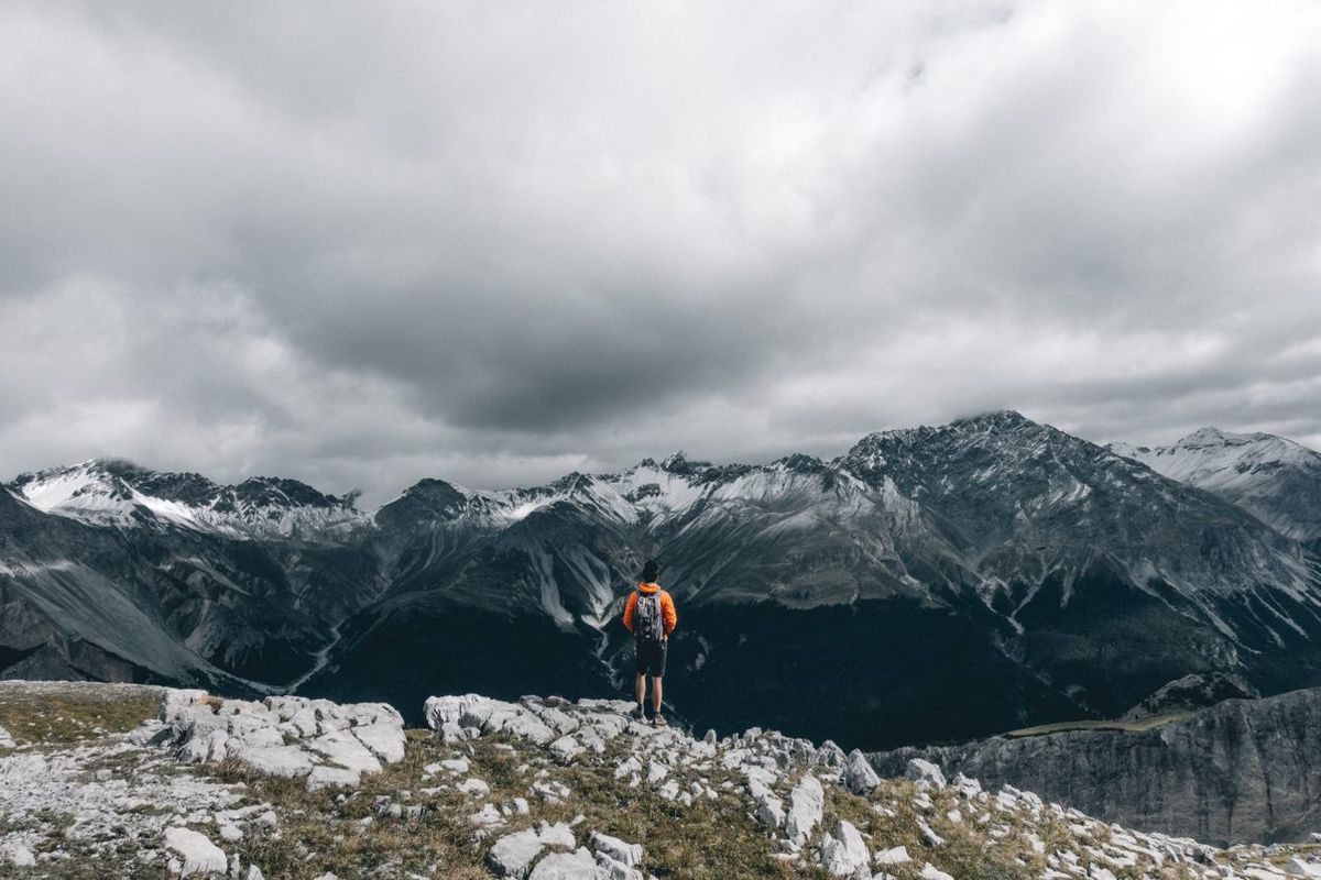
To go down, walk a little bit west from the summit and find the yellow direction sign. Once you find it, follow the way down to Il Fuorn, our final stop.
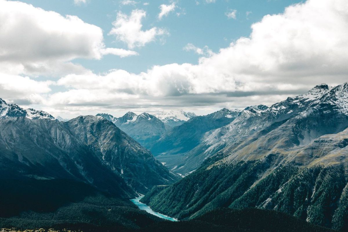
The trail from the summit going down is a lot easier, so use this luxurious time to enjoy the scenery as much as you can. The way down will take you through a variety of Instagram-worthy scenes, so get your camera ready.
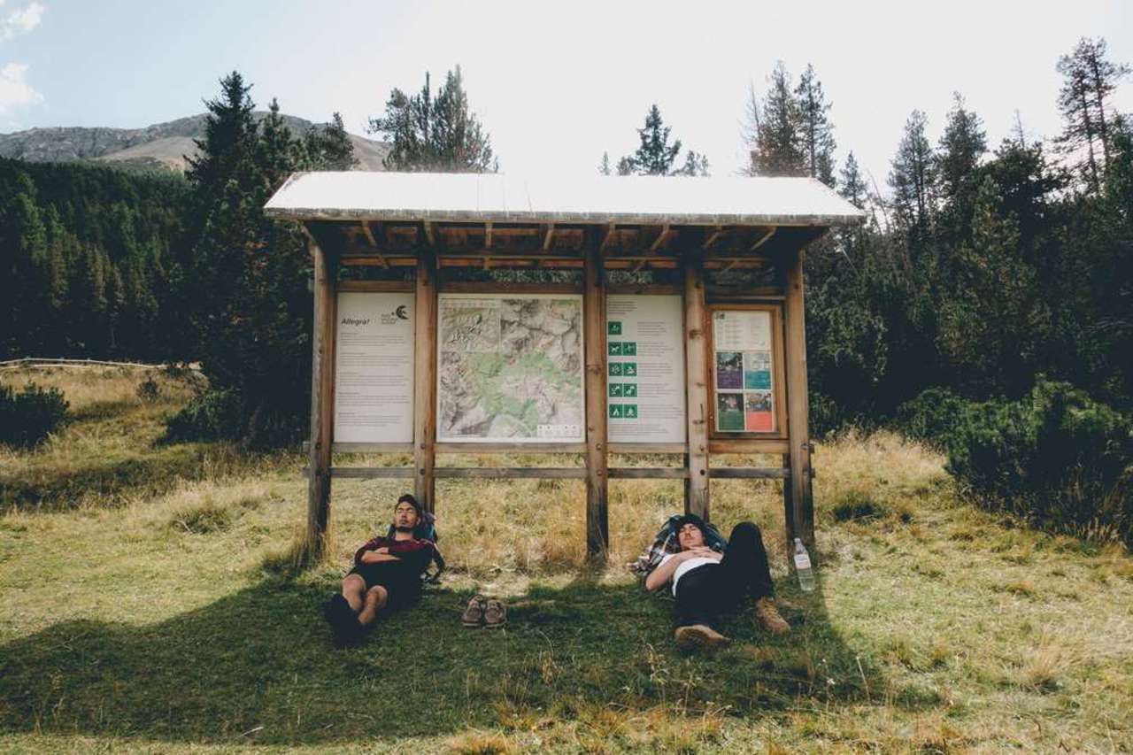
From the summit, it took us around 2 hours to reach Il Fuorn, the endpoint of the route, where you can catch the PostBus back to Zernez. The Zernez–Müstair/Mals PostBus currently serves the park roughly hourly, but I would still check the timetable for your hiking date before setting off, especially if you are aiming for one of the last connections of the day.
With this information, you should be able to hike the Swiss National Park without any issues. If you have done the hike, let us know in the comments below how it went. Good luck!
Note: The hikes I chose are by no means the only options around the Swiss National Park. The park has around 100 km of official marked hiking paths, so if you have more time, you can choose a different combination of marked routes that better suits your fitness level and schedule. Just remember that inside the Swiss National Park, you are required to stay on the marked paths and designated resting areas.
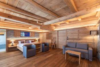
Where to Stay in the Swiss National Park?
What to Pack for the Swiss National Park?
Zernez is surrounded by mountains, so the weather can be unpredictable. Appropriate gear is essential to make your trip the best one possible.
Before you hike: The Swiss National Park has strict protection rules. Inside the park, stay on marked paths and designated resting areas, visit only during daylight hours, and do not bring dogs, light fires, cycle, fly drones, or camp. The park is closed to visitors in winter.
- A Tent: If you want to keep accommodation costs down, camping is still one of the most practical options in Zernez. I stayed at Camping Cul during my trip, and the campsite continues to operate seasonally near the gateway to the Swiss National Park. A tent is not required, though, as Zernez also has hotels and other accommodation options. If you decide to camp, I recommend this 2-person tent for your trip.
- Sleeping Bag: Due to the location of Zernez, it could get rainy and cold, so a warm sleeping bag is recommended. I recommend the Coleman North Rim Sleeping Bag for this trip.
- Headlamp: You will need this to navigate the camping ground at night, so be sure to have one ready. I recommend this Cree LED Headlamp for the trip.
- Good Walking Shoes: The trails we are going to tackle are not too difficult, so regular walking/hiking shoes are more than enough. These Timberland Shoes are my go-to hiking boots in most situations.
- Weather-proof Clothing: Mountain weather can change quickly, and conditions can become cold, wet, and windy even during the hiking season. I recommend carrying a warm layer and a waterproof outer shell. Here are jackets I recommend for the trip: fleece jacket and the beautiful orange Columbia outer-shell jacket.
- A Hiking Map: You can get a not-so-detailed map for free at the camping ground or the Tourist Info. If you want to do more hikes in the park, I would suggest you buy a complete hiking booklet from the Tourist Info. For me and the trails mentioned here, a not-so-detailed map was more than enough.You can also use the map linked under Trails Overview above.
- Food and water supply: There are a few supermarkets in Zernez that offer food and fresh fruits, so you can buy them there. Each trail mentioned here will only take a few hours, so there is no need to prepare a whole day's supply when hiking. I always carry my 2-liter hydration pack, which I highly recommend so you don't have to stop to stay hydrated.
- A Daypack: You will need a daypack to carry all of your gear with you when you are out and about. During this trip, I use the classic Herschel Supply's Little America Backpack to carry everything with me. It is light with a good capacity and stylish as hell.
How to get to the Swiss National Park?
The best way to get here is to fly into Zurich or cities nearby and take a train or a bus from there. I would recommend you browse through Skyscanner or Expedia to find all the cheap flights from where you live to Switzerland and compare them so that you can find the one best fit for your itinerary.
If you are traveling around Switzerland extensively by public transport, it is worth comparing individual tickets with a Swiss Travel Pass. As of 2026, a 4-day second-class Swiss Travel Pass costs 309 CHF for adults, while the Swiss Travel Pass Youth costs 218 CHF for travelers under 25. There is also a 4-day Swiss Travel Pass Flex if you want to spread your travel days across a month. Whether the pass saves you money depends on your itinerary, so compare the pass price with the individual train and bus journeys you plan to take before buying.
Zernez is the closest town to the national park. It is also the nearest town to the entrance. The easiest way to get to Zernez is by train.
You can also go with Flixbus as it is cheap, reliable, and runs extensively throughout Europe.
Disclaimer: This post may contain affiliate links. See our disclosure policy.
First Published:
Last updated:


2 Comments
I am trying to decide if I should do the Tour De Mont Blanc or just visit Switzerland and do a bundh of hikes on my own. What do you recommend? I could do like a week in Zematt and a week in Lucern and do a few hikes. Or the TMB. what do you recommend?
Once you are in zermat how do you get to the trail heads ? Uber?
thanks, Russ
Hey Russel,
Dedicating your time in Switzerland alone is definitely a good idea. A week in Lucern might be a little too long. Maybe, go and spend a few nights in Lauterbrunnen and do some hiking there as well. That place is out of this world.
Once you get to Zermatt, you can start hiking straight from the town. Be sure to grab a map from the tourist info near the train station. Zermatt is a proper mountain town with very little road access so you won't find any Uber up there.
You can check out my Matterhorn one-day hiking itinerary. It is an epic 12-hour-ish hike that will take you from the town all the way to the last mountain hut on the foothill of Matterhorn and back in one day. It was a long day, but very epic!
I hope this helps.